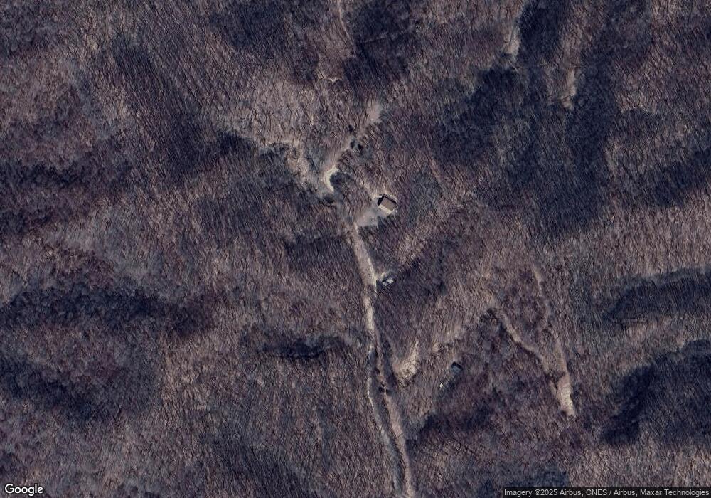
690 Mulkey Branch Rd Creston, NC 28615
Estimated Value: $301,000 - $341,133
3
Beds
2
Baths
1,851
Sq Ft
$178/Sq Ft
Est. Value
About This Home
This home is located at 690 Mulkey Branch Rd, Creston, NC 28615 and is currently estimated at $329,783, approximately $178 per square foot. 690 Mulkey Branch Rd is a home located in Ashe County with nearby schools including Ashe County High School.
Ownership History
Date
Name
Owned For
Owner Type
Purchase Details
Closed on
Jun 26, 2023
Sold by
Freedom Farm Ministries
Bought by
Gonzalez Adrian
Current Estimated Value
Home Financials for this Owner
Home Financials are based on the most recent Mortgage that was taken out on this home.
Original Mortgage
$224,100
Outstanding Balance
$216,722
Interest Rate
5%
Mortgage Type
New Conventional
Estimated Equity
$113,061
Purchase Details
Closed on
Mar 6, 2023
Sold by
Freedom Farm Ministries
Bought by
Bradshaw Brian Keith and Bradshaw Tammy Stephens
Create a Home Valuation Report for This Property
The Home Valuation Report is an in-depth analysis detailing your home's value as well as a comparison with similar homes in the area
Home Values in the Area
Average Home Value in this Area
Purchase History
| Date | Buyer | Sale Price | Title Company |
|---|---|---|---|
| Gonzalez Adrian | $250,000 | None Listed On Document | |
| Gonzalez Adrian | $250,000 | None Listed On Document | |
| Bradshaw Brian Keith | $120,000 | None Listed On Document |
Source: Public Records
Mortgage History
| Date | Status | Borrower | Loan Amount |
|---|---|---|---|
| Open | Gonzalez Adrian | $224,100 | |
| Closed | Gonzalez Adrian | $224,100 |
Source: Public Records
Tax History Compared to Growth
Tax History
| Year | Tax Paid | Tax Assessment Tax Assessment Total Assessment is a certain percentage of the fair market value that is determined by local assessors to be the total taxable value of land and additions on the property. | Land | Improvement |
|---|---|---|---|---|
| 2025 | $1,621 | $309,400 | $54,500 | $254,900 |
| 2024 | $1,559 | $309,400 | $54,500 | $254,900 |
| 2023 | $0 | $447,600 | $89,400 | $358,200 |
| 2022 | $0 | $267,100 | $57,600 | $209,500 |
| 2021 | $1,495 | $267,100 | $57,600 | $209,500 |
| 2020 | $1,495 | $267,100 | $57,600 | $209,500 |
| 2019 | $1,495 | $267,100 | $57,600 | $209,500 |
| 2018 | $1,495 | $271,400 | $57,600 | $213,800 |
| 2016 | $1,164 | $271,400 | $57,600 | $213,800 |
| 2015 | $1,164 | $271,400 | $57,600 | $213,800 |
| 2014 | $1,164 | $196,500 | $57,600 | $138,900 |
Source: Public Records
Map
Nearby Homes
- TBD Rock Creek Rd
- 1411 Cabbage Creek Rd
- 838 Rock Creek Rd
- 563 Rock Creek Rd
- 1946 River Breeze Dr
- Lot 5 Stonegate Ln
- TBD (35.274 A) Roundabout Rd
- 6 Stonegate Ln
- 0 Roundabout Rd Unit 23357348
- TBD River Breeze Dr Unit 2
- TBD Roundabout Rd
- 3160 Roundabout Rd
- 803 W Brushy Fork Rd
- 360 Baldwin Gap Rd
- TBD Hwy 88 W
- 621 Trivette Hollow Rd
- 3786 Peak Rd
- 609 Baker Hollow Rd
- Lot 33 Paradise Valley Dr
- 0 Klink Trail
- 690 B Mulkey Branch Rd
- 690 A Mulkey Branch Rd
- 1017 Cabbage Creek Rd
- 804 Mahala Rd
- 832 Mahala Rd
- 828 Mahala Rd
- 830 Mahala Rd
- 1114 Mulkey Branch Rd
- 764 Mahala Rd
- 745 Mahala Rd
- 1353 Cabbage Creek Rd
- 0 Rock Creek Rd
- 1546 Rock Creek Rd
- 1810 Rock Creek Rd
- 672 Mahala Rd
- 1510 Rock Creek Rd
- 713 Mahala Rd
- 1803 Rock Creek Rd
- 1729 Rock Creek Rd
- 1434 Rock Creek Rd
