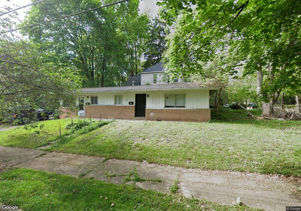
690 Payne Ave Unit 692 Akron, OH 44302
Highland Square NeighborhoodEstimated Value: $96,221 - $125,000
4
Beds
2
Baths
1,200
Sq Ft
$93/Sq Ft
Est. Value
About This Home
This home is located at 690 Payne Ave Unit 692, Akron, OH 44302 and is currently estimated at $111,555, approximately $92 per square foot. 690 Payne Ave Unit 692 is a home located in Summit County with nearby schools including Towpath Trail High School, St. Vincent Elementary School, and Our Lady Of The Elms Elementary School.
Ownership History
Date
Name
Owned For
Owner Type
Purchase Details
Closed on
Mar 9, 2016
Sold by
Mcguinness Leo E and Mcguinness Elvira B
Bought by
Nemer Raymond M
Current Estimated Value
Purchase Details
Closed on
Nov 20, 2015
Sold by
Keen Marsha K and Collova Dmarsha K
Bought by
Mcguinness Leo E and Mcguinness Elvira B
Create a Home Valuation Report for This Property
The Home Valuation Report is an in-depth analysis detailing your home's value as well as a comparison with similar homes in the area
Home Values in the Area
Average Home Value in this Area
Purchase History
| Date | Buyer | Sale Price | Title Company |
|---|---|---|---|
| Nemer Raymond M | $55,000 | None Available | |
| Mcguinness Leo E | -- | Attorney |
Source: Public Records
Tax History Compared to Growth
Tax History
| Year | Tax Paid | Tax Assessment Tax Assessment Total Assessment is a certain percentage of the fair market value that is determined by local assessors to be the total taxable value of land and additions on the property. | Land | Improvement |
|---|---|---|---|---|
| 2025 | $1,618 | $23,748 | $5,758 | $17,990 |
| 2024 | $1,618 | $23,748 | $5,758 | $17,990 |
| 2023 | $1,618 | $23,748 | $5,758 | $17,990 |
| 2022 | $1,596 | $19,468 | $4,722 | $14,746 |
| 2021 | $1,497 | $19,468 | $4,722 | $14,746 |
| 2020 | $1,577 | $19,470 | $4,720 | $14,750 |
| 2019 | $2,160 | $25,720 | $4,720 | $21,000 |
| 2018 | $2,134 | $25,720 | $4,720 | $21,000 |
| 2017 | $1,869 | $25,720 | $4,720 | $21,000 |
| 2016 | $1,921 | $22,010 | $4,720 | $17,290 |
| 2015 | $1,869 | $22,010 | $4,720 | $17,290 |
| 2014 | $1,856 | $22,010 | $4,720 | $17,290 |
| 2013 | $1,904 | $23,170 | $4,720 | $18,450 |
Source: Public Records
Map
Nearby Homes
- 71 Dodge Ave
- 120 Beck Ave
- 42 Belvidere Way
- 262 S Portage Path
- 127 Hollinger Ave
- 141 Grand Ave
- 136 Gale St
- 939 W Exchange St
- 525 Crosby St
- 91 Westwood Ave
- 222 Rhodes Ave
- 892 Delia Ave
- 893 Delia Ave
- 359 Beechwood Dr
- 320 Wildwood Ave
- 920 Bloomfield Ave
- 890 Work Dr
- 590 Weber Ave
- 928 Bloomfield Ave
- 885 Bye St Unit 887
- 99 Byers Ave
- 684 Payne Ave
- 105 Byers Ave
- 109 Byers Ave
- 96 Byers Ave
- 678 Payne Ave
- 674 Payne Ave
- 115 Byers Ave
- 104 Byers Ave
- 80 Byers Ave
- 80 Byers Ave Unit B
- 80 Byers Ave Unit 2
- 80 Byers Ave Unit A
- 119 Byers Ave
- 711 Payne Ave
- 116 Byers Ave
- 74 Byers Ave Unit 2
- 74 Byers Ave Unit 3
- 74 Byers Ave
- 716 Payne Ave