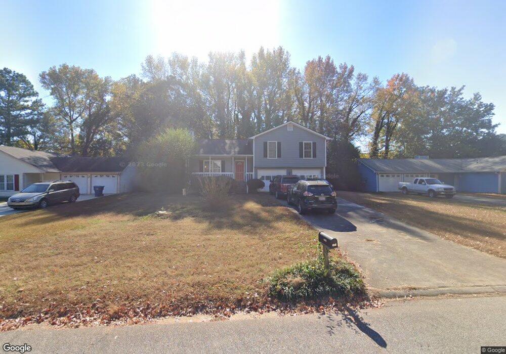
690 Wayside Dr Unit 1 Lawrenceville, GA 30046
Estimated Value: $314,000 - $355,000
3
Beds
2
Baths
1,458
Sq Ft
$230/Sq Ft
Est. Value
About This Home
This home is located at 690 Wayside Dr Unit 1, Lawrenceville, GA 30046 and is currently estimated at $335,499, approximately $230 per square foot. 690 Wayside Dr Unit 1 is a home located in Gwinnett County with nearby schools including Simonton Elementary School, Jordan Middle School, and Central Gwinnett High School.
Ownership History
Date
Name
Owned For
Owner Type
Purchase Details
Closed on
Sep 13, 2002
Sold by
Helms Allison W
Bought by
Lanier Robert E and Lanier Ginger M
Current Estimated Value
Home Financials for this Owner
Home Financials are based on the most recent Mortgage that was taken out on this home.
Original Mortgage
$125,149
Outstanding Balance
$52,508
Interest Rate
6.3%
Mortgage Type
New Conventional
Estimated Equity
$282,991
Purchase Details
Closed on
Nov 21, 1994
Sold by
Bostock Kathy M
Bought by
Helms Steven N Allison
Home Financials for this Owner
Home Financials are based on the most recent Mortgage that was taken out on this home.
Original Mortgage
$77,900
Interest Rate
7.37%
Create a Home Valuation Report for This Property
The Home Valuation Report is an in-depth analysis detailing your home's value as well as a comparison with similar homes in the area
Home Values in the Area
Average Home Value in this Area
Purchase History
| Date | Buyer | Sale Price | Title Company |
|---|---|---|---|
| Lanier Robert E | $127,200 | -- | |
| Helms Steven N Allison | $82,000 | -- |
Source: Public Records
Mortgage History
| Date | Status | Borrower | Loan Amount |
|---|---|---|---|
| Open | Lanier Robert E | $125,149 | |
| Previous Owner | Helms Steven N Allison | $77,900 |
Source: Public Records
Tax History Compared to Growth
Tax History
| Year | Tax Paid | Tax Assessment Tax Assessment Total Assessment is a certain percentage of the fair market value that is determined by local assessors to be the total taxable value of land and additions on the property. | Land | Improvement |
|---|---|---|---|---|
| 2024 | $2,987 | $129,800 | $24,400 | $105,400 |
| 2023 | $2,987 | $134,560 | $24,400 | $110,160 |
| 2022 | $2,754 | $117,920 | $21,200 | $96,720 |
| 2021 | $1,988 | $78,240 | $13,600 | $64,640 |
| 2020 | $1,992 | $70,480 | $13,600 | $56,880 |
| 2019 | $1,880 | $65,840 | $13,600 | $52,240 |
| 2018 | $1,712 | $60,880 | $12,000 | $48,880 |
| 2016 | $1,578 | $54,760 | $10,400 | $44,360 |
| 2015 | $1,049 | $36,000 | $8,000 | $28,000 |
| 2014 | -- | $36,000 | $8,000 | $28,000 |
Source: Public Records
Map
Nearby Homes
- 101 Summer Pond Trail
- 241 Summer Pond Trail
- 34 Duke Dr
- 86 Hickory Grove Ave
- 688 Saffron Blvd
- 51 Ezzard St
- 455 Saddle Bow Dr
- 1076 Allspice Way
- 239 Ryston Way
- 308 Paper Woods Dr
- 585 Corley Brook Way
- 501 Timber Ridge Ct
- 97 Forest Place
- 84 Oxford Brook Way
- 1045 Paper Creek Dr
- 340 Windsor Brook Ln Unit 3
- 344 Springbottom Ct
- 494 Saddle Shoal Trail
- 680 Wayside Dr
- 700 Wayside Dr
- 180 Supreme Ct
- 710 Wayside Dr
- 170 Supreme Ct Unit 2
- 670 Wayside Dr
- 1931 Darrel Ln Unit 2
- 387 Norhill Ln
- 705 Wayside Dr
- 160 Supreme Ct
- 720 Wayside Dr Unit 1
- 1941 Darrel Ln
- 715 Wayside Dr
- 0 Norhill Ln Unit 8500414
- 0 Norhill Ln Unit 3120011
- 0 Norhill Ln Unit 3014111
- 386 Norhill Ln
- 150 Supreme Ct
- 730 Wayside Dr Unit 1
- 1951 Darrel Ln