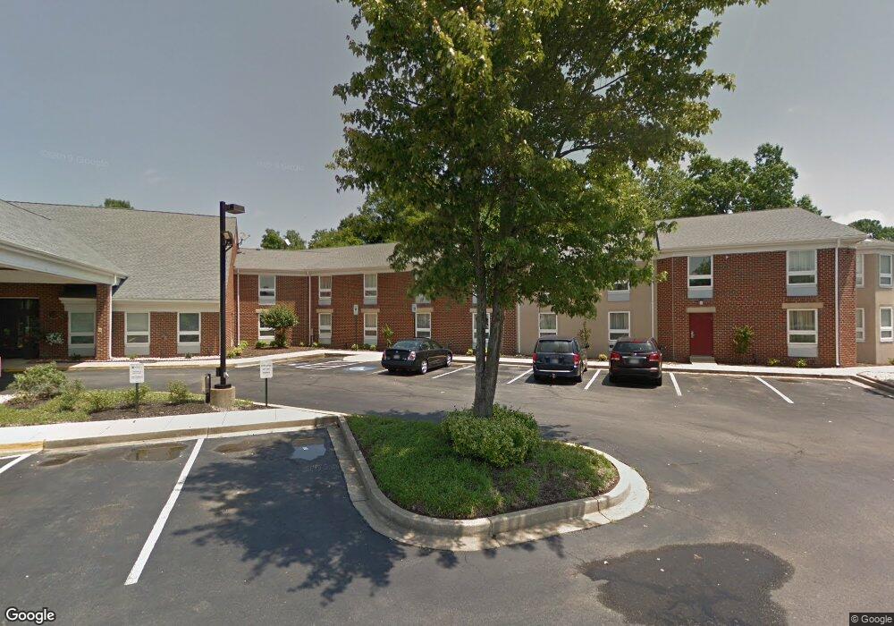
6900 Crain Hwy La Plata, MD 20646
Estimated Value: $5,893,726
--
Bed
--
Bath
39,626
Sq Ft
$149/Sq Ft
Est. Value
About This Home
This home is located at 6900 Crain Hwy, La Plata, MD 20646 and is currently estimated at $5,893,726, approximately $148 per square foot. 6900 Crain Hwy is a home located in Charles County with nearby schools including Walter J. Mitchell Elementary School, Milton M. Somers Middle School, and La Plata High School.
Ownership History
Date
Name
Owned For
Owner Type
Purchase Details
Closed on
Aug 27, 2013
Sold by
La Plata Hotel Lllp
Bought by
La Plata Hospitality Llc
Current Estimated Value
Home Financials for this Owner
Home Financials are based on the most recent Mortgage that was taken out on this home.
Original Mortgage
$2,800,000
Outstanding Balance
$2,091,928
Interest Rate
4.43%
Mortgage Type
Commercial
Estimated Equity
$3,801,798
Purchase Details
Closed on
Nov 24, 1987
Sold by
Anderson Allan W
Bought by
La Plata Hotel Ltd Partnership
Create a Home Valuation Report for This Property
The Home Valuation Report is an in-depth analysis detailing your home's value as well as a comparison with similar homes in the area
Home Values in the Area
Average Home Value in this Area
Purchase History
| Date | Buyer | Sale Price | Title Company |
|---|---|---|---|
| La Plata Hospitality Llc | $3,100,000 | None Available | |
| La Plata Hotel Ltd Partnership | $400,000 | -- |
Source: Public Records
Mortgage History
| Date | Status | Borrower | Loan Amount |
|---|---|---|---|
| Open | La Plata Hospitality Llc | $2,800,000 |
Source: Public Records
Tax History Compared to Growth
Tax History
| Year | Tax Paid | Tax Assessment Tax Assessment Total Assessment is a certain percentage of the fair market value that is determined by local assessors to be the total taxable value of land and additions on the property. | Land | Improvement |
|---|---|---|---|---|
| 2025 | $153,974 | $4,991,900 | $597,600 | $4,394,300 |
| 2024 | $76,155 | $4,991,900 | $597,600 | $4,394,300 |
| 2023 | $75,222 | $5,000,800 | $597,600 | $4,403,200 |
| 2022 | $74,623 | $4,989,267 | $0 | $0 |
| 2021 | $74,580 | $4,977,733 | $0 | $0 |
| 2020 | $74,580 | $4,966,200 | $597,600 | $4,368,600 |
| 2019 | $69,327 | $4,468,267 | $0 | $0 |
| 2018 | $59,594 | $3,970,333 | $0 | $0 |
| 2017 | $52,409 | $3,472,400 | $0 | $0 |
| 2016 | -- | $3,366,533 | $0 | $0 |
| 2015 | $70,702 | $3,260,667 | $0 | $0 |
| 2014 | $70,702 | $3,154,800 | $0 | $0 |
Source: Public Records
Map
Nearby Homes
- 45 Hibiscus Ct
- 105 Palmetto Ct
- 0 Glen Albin Rd Unit 1002259446
- 600 Edelen Station Place Unit 7402
- 107 Howard St
- 302 Edelen Station Place
- 0 Crain Hwy Unit MDCH2038304
- 455 Patuxent Ct
- 13 Candleberry Dr
- 9 Candleberry Dr
- 203 Port Tobacco Rd
- The Adelina Plan at Fischer's Grant
- The Willow Plan at Fischer's Grant
- The Westminster Plan at Fischer's Grant
- The Somerset Plan at Fischer's Grant
- The Lancaster Plan at Fischer's Grant
- The Belmont Plan at Fischer's Grant
- The Glenwood Plan at Fischer's Grant
- The Oxford Plan at Fischer's Grant
- The Brentwood Plan at Fischer's Grant
- 11241 Barbers Quarters Ct
- 0 Route 6 Unit 1004385891
- 2533 Robinson Place
- 4970 Survivors Place
- Lot 71 Camden Cir
- 8210 E Fork Place
- 8210 E Fork E Fork Place
- Lot 55 Camden Cir
- Lot 4 Camden Cir
- Lot 35 Camden Cir
- 201 Hibiscus Ct
- 203 Hibiscus Ct
- 113 Hibiscus Ct
- 205 Hibiscus Ct
- 111 Hibiscus Ct
- 207 Hibiscus Ct
- 209 Hibiscus Ct
- 109 Hibiscus Ct
- 107 Hibiscus Ct
- 211 Hibiscus Ct