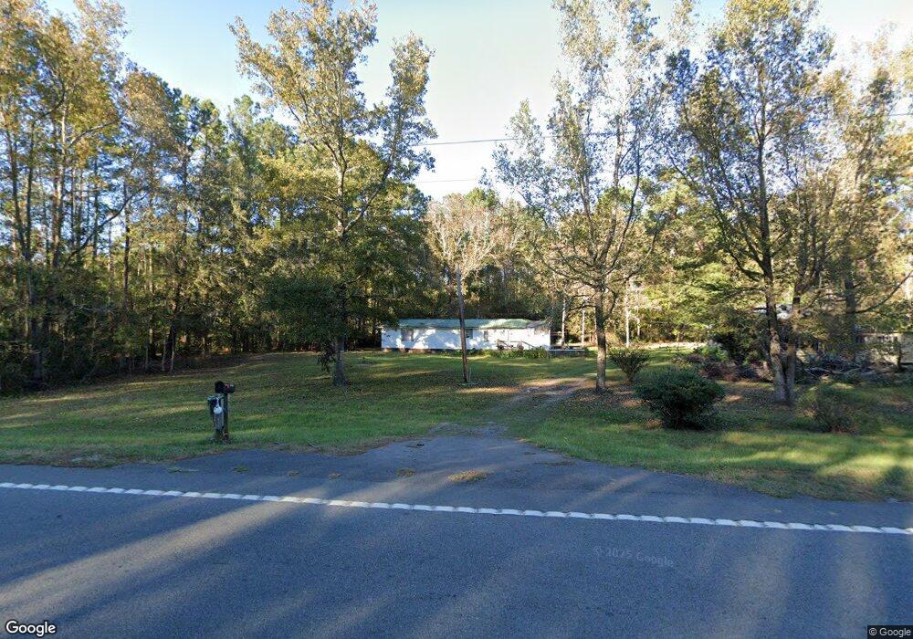
6900 Ga Hwy 57 Townsend, GA 31331
Estimated Value: $81,000 - $183,000
3
Beds
1
Bath
1,088
Sq Ft
$111/Sq Ft
Est. Value
About This Home
This home is located at 6900 Ga Hwy 57, Townsend, GA 31331 and is currently estimated at $120,577, approximately $110 per square foot. 6900 Ga Hwy 57 is a home located in McIntosh County with nearby schools including Todd Grant Elementary School, McIntosh County Middle School, and McIntosh County Academy.
Ownership History
Date
Name
Owned For
Owner Type
Purchase Details
Closed on
Jan 26, 2018
Sold by
Marshland Community Federa
Bought by
Vanvanwheeler Connie Van and Wheeler Andrea Britt
Current Estimated Value
Home Financials for this Owner
Home Financials are based on the most recent Mortgage that was taken out on this home.
Original Mortgage
$16,871
Interest Rate
3.99%
Mortgage Type
New Conventional
Purchase Details
Closed on
Jun 6, 2017
Sold by
Young Andy C
Bought by
Marshland Community Federal Cr
Purchase Details
Closed on
Oct 30, 2008
Sold by
Williams Lonnie
Bought by
Young Andy
Create a Home Valuation Report for This Property
The Home Valuation Report is an in-depth analysis detailing your home's value as well as a comparison with similar homes in the area
Home Values in the Area
Average Home Value in this Area
Purchase History
| Date | Buyer | Sale Price | Title Company |
|---|---|---|---|
| Vanvanwheeler Connie Van | -- | -- | |
| Marshland Community Federal Cr | -- | -- | |
| Young Andy | $26,000 | -- | |
| Williams Lonnie | -- | -- |
Source: Public Records
Mortgage History
| Date | Status | Borrower | Loan Amount |
|---|---|---|---|
| Closed | Vanvanwheeler Connie Van | $16,871 |
Source: Public Records
Tax History Compared to Growth
Tax History
| Year | Tax Paid | Tax Assessment Tax Assessment Total Assessment is a certain percentage of the fair market value that is determined by local assessors to be the total taxable value of land and additions on the property. | Land | Improvement |
|---|---|---|---|---|
| 2024 | $969 | $29,440 | $4,960 | $24,480 |
| 2023 | $931 | $27,960 | $5,920 | $22,040 |
| 2022 | $790 | $22,920 | $3,480 | $19,440 |
| 2021 | $503 | $18,920 | $3,480 | $15,440 |
| 2020 | $645 | $17,480 | $3,480 | $14,000 |
| 2019 | $318 | $16,840 | $3,480 | $13,360 |
| 2018 | $448 | $16,840 | $3,480 | $13,360 |
| 2017 | $591 | $16,520 | $3,480 | $13,040 |
| 2016 | $591 | $16,520 | $3,480 | $13,040 |
| 2015 | $377 | $9,337 | $3,500 | $5,837 |
| 2014 | $377 | $9,337 | $3,500 | $5,837 |
Source: Public Records
Map
Nearby Homes
- 1106 Oak St NW
- 1198 NE Fiddlers Cove
- 1.18 AC Gobbler Ln
- 2771 Georgia 251
- 2737 Georgia 251
- 2801 Georgia 251
- GA HWY 99 I-95
- 2 tract Old Saddle Way Rd
- 6 tract Old Saddle Way Rd
- 5 tract Old Saddle Way Rd
- 3 tract Old Saddle Way Rd
- lot #30 Barnstorm Rd
- lot #26 Eagle
- lot #29 Eagle Neck Airstrip Rd
- 1557 Pine Lake Loop
- Lot 30 Freedom Trail SW
- Lot 43 Freedom Trail SW
- 3 ACRES Lewis Ln SW
- 19.5 ACRES W S Highway 17
- 14261 US Highway 17
- 6900 Highway 57 Unit na
- 6900 Ga Highway 57
- Lot # 91 the Oaks at Sutherland
- Lot 816 Rd 2 the Oaks
- 6970 Ga Hwy 57
- 1067 Oak St NW
- 1060 Oak St NW
- 823 Oak
- 6837 Ga Highway 57
- 1057 Oak St NW
- 1031 Steel Bridge Rd SW
- 807 The Oaks
- 1105 Oak St NW
- 1080 Steel Bridge Rd SW
- Lot 4 Seaboard Ave
- 0 Seaboard Ave
- 1064 Liberty St
- 1095 Seaboard Ave SW
- 3 Seaboard Ave Ave W
- 1101 Seaboard Ave SW