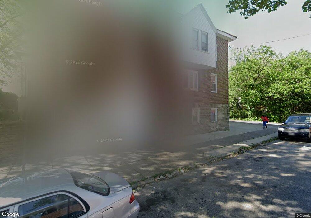
6901 Forrest Ave Philadelphia, PA 19138
West Oak Lane NeighborhoodEstimated Value: $209,000 - $247,000
3
Beds
1
Bath
1,440
Sq Ft
$158/Sq Ft
Est. Value
About This Home
This home is located at 6901 Forrest Ave, Philadelphia, PA 19138 and is currently estimated at $227,411, approximately $157 per square foot. 6901 Forrest Ave is a home located in Philadelphia County with nearby schools including William Rowen School, Gen. Louis Wagner Middle School, and Martin Luther King High School.
Ownership History
Date
Name
Owned For
Owner Type
Purchase Details
Closed on
Mar 3, 2006
Sold by
Walsh Charles
Bought by
Owen Syreeta
Current Estimated Value
Home Financials for this Owner
Home Financials are based on the most recent Mortgage that was taken out on this home.
Original Mortgage
$94,155
Outstanding Balance
$52,546
Interest Rate
6.15%
Mortgage Type
FHA
Estimated Equity
$174,865
Purchase Details
Closed on
Mar 23, 2000
Sold by
Chemical Bank
Bought by
Walsh Charles
Home Financials for this Owner
Home Financials are based on the most recent Mortgage that was taken out on this home.
Original Mortgage
$54,000
Interest Rate
8.14%
Purchase Details
Closed on
Dec 20, 1999
Sold by
White Raymond A and White Alice V
Bought by
Chemical Bank and Contimortgage Home Equity Loan Trust 199
Create a Home Valuation Report for This Property
The Home Valuation Report is an in-depth analysis detailing your home's value as well as a comparison with similar homes in the area
Home Values in the Area
Average Home Value in this Area
Purchase History
| Date | Buyer | Sale Price | Title Company |
|---|---|---|---|
| Owen Syreeta | $94,900 | None Available | |
| Walsh Charles | $21,000 | -- | |
| Chemical Bank | $25,000 | -- |
Source: Public Records
Mortgage History
| Date | Status | Borrower | Loan Amount |
|---|---|---|---|
| Open | Owen Syreeta | $94,155 | |
| Previous Owner | Walsh Charles | $54,000 |
Source: Public Records
Tax History Compared to Growth
Tax History
| Year | Tax Paid | Tax Assessment Tax Assessment Total Assessment is a certain percentage of the fair market value that is determined by local assessors to be the total taxable value of land and additions on the property. | Land | Improvement |
|---|---|---|---|---|
| 2026 | $2,419 | $207,700 | $41,540 | $166,160 |
| 2025 | $2,419 | $207,700 | $41,540 | $166,160 |
| 2024 | $2,419 | $207,700 | $41,540 | $166,160 |
| 2023 | $2,419 | $172,800 | $34,560 | $138,240 |
| 2022 | $1,257 | $127,800 | $34,560 | $93,240 |
| 2021 | $1,887 | $0 | $0 | $0 |
| 2020 | $1,887 | $0 | $0 | $0 |
| 2019 | $1,970 | $0 | $0 | $0 |
| 2018 | $1,212 | $0 | $0 | $0 |
| 2017 | $1,632 | $0 | $0 | $0 |
| 2016 | $1,212 | $0 | $0 | $0 |
| 2015 | $1,160 | $0 | $0 | $0 |
| 2014 | -- | $116,600 | $17,780 | $98,820 |
| 2012 | -- | $13,632 | $3,445 | $10,187 |
Source: Public Records
Map
Nearby Homes
- 6905 Forrest Ave
- 6908 Ogontz Ave
- 6838 Ogontz Ave
- 6869 Forrest Ave
- 6944 Cedar Park Ave
- 1934 69th Ave
- 7001 Limekiln Pike
- 7016 Andrews Ave
- 6732 Ogontz Ave
- 2056 Eastburn Ave
- 6733 N Woodstock St
- 6731 N Woodstock St
- 2070 E Haines St
- 7092 Forrest Ave
- 6943 N 19th St
- 1729 68th Ave
- 6642 N 20th St
- 7159 N 20th St
- 1720 68th Ave
- 2061 Independence St
- 6903 Forrest Ave
- 6907 Forrest Ave
- 6909 Forrest Ave
- 6911 Forrest Ave
- 6899 Forrest Ave
- 6913 Forrest Ave
- 6897 Forrest Ave
- 6915 Forrest Ave
- 6895 Forrest Ave
- 6917 Forrest Ave
- 6900 Forrest Ave
- 6893 Forrest Ave
- 6919 Forrest Ave
- 6904 Ogontz Ave
- 6902 Forrest Ave
- 6891 Forrest Ave
- 6906 Ogontz Ave
- 6904 Forrest Ave
- 6902 Ogontz Ave
- 6900 Ogontz Ave