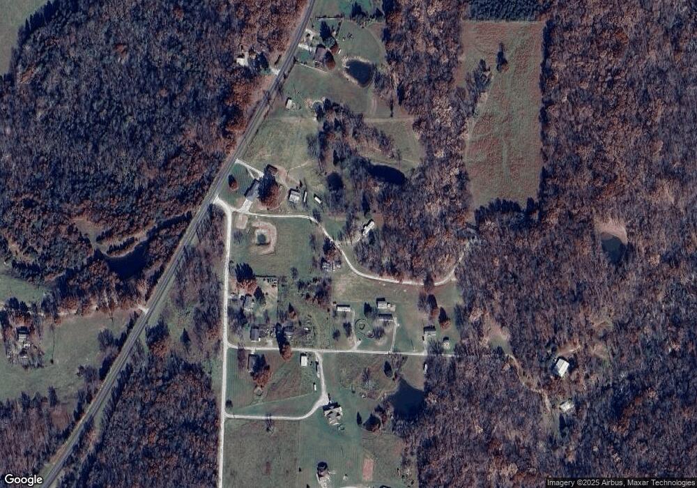
6901 MacVittie Ln Fulton, MO 65251
Estimated Value: $187,000 - $504,000
5
Beds
3
Baths
933
Sq Ft
$336/Sq Ft
Est. Value
About This Home
This home is located at 6901 MacVittie Ln, Fulton, MO 65251 and is currently estimated at $313,436, approximately $335 per square foot. 6901 MacVittie Ln is a home located in Callaway County with nearby schools including Fulton Senior High School and St. Peter Catholic School.
Ownership History
Date
Name
Owned For
Owner Type
Purchase Details
Closed on
Jul 11, 2023
Sold by
Macvittie Debra
Bought by
Macvittie Debra and Debra Macvittie Revocable Trust
Current Estimated Value
Purchase Details
Closed on
Dec 21, 2022
Sold by
Crouch James and Crouch Keren
Bought by
Stephens Avyanna
Purchase Details
Closed on
Nov 17, 2020
Sold by
Macvittie Debra
Bought by
Andres Richard J
Purchase Details
Closed on
Aug 11, 2020
Sold by
Macvittie Jay and Macvittie Debra
Bought by
Macvittie Debra
Purchase Details
Closed on
Jul 28, 2020
Sold by
Macvittie Debra
Bought by
Andres Richard J
Create a Home Valuation Report for This Property
The Home Valuation Report is an in-depth analysis detailing your home's value as well as a comparison with similar homes in the area
Home Values in the Area
Average Home Value in this Area
Purchase History
| Date | Buyer | Sale Price | Title Company |
|---|---|---|---|
| Macvittie Debra | -- | None Listed On Document | |
| Stephens Avyanna | -- | -- | |
| Andres Richard J | -- | None Available | |
| Macvittie Debra | -- | None Available | |
| Andres Richard J | -- | None Available |
Source: Public Records
Tax History Compared to Growth
Tax History
| Year | Tax Paid | Tax Assessment Tax Assessment Total Assessment is a certain percentage of the fair market value that is determined by local assessors to be the total taxable value of land and additions on the property. | Land | Improvement |
|---|---|---|---|---|
| 2024 | $813 | $13,407 | $0 | $0 |
| 2023 | $813 | $12,927 | $0 | $0 |
| 2022 | $780 | $12,927 | $1,111 | $11,816 |
| 2021 | $779 | $12,927 | $1,111 | $11,816 |
| 2020 | $789 | $12,927 | $1,111 | $11,816 |
| 2019 | $765 | $12,927 | $1,111 | $11,816 |
| 2018 | $789 | $12,939 | $1,123 | $11,816 |
| 2017 | $938 | $17,288 | $1,934 | $15,354 |
| 2016 | $982 | $17,300 | $0 | $0 |
| 2015 | $962 | $17,300 | $0 | $0 |
| 2014 | $880 | $15,820 | $0 | $0 |
Source: Public Records
Map
Nearby Homes
- 4604 County Road 115
- 910 E Street Eunice Rd
- 109 Bartley Ln
- 1103 Sioux Dr
- 1311 Cedarwood Dr
- 105 Dawson St
- 1009 Mohawk Dr
- 910 W Morningside Dr
- 500 Meadowlark Ln
- 0 3 34 Ac Tract 1 Hwy Uu Unit MIS25058633
- 0 3 27 Ac Tract 2 Hwy Uu Unit MIS25058623
- 0 3 27 Ac Tract 3 Hwy Uu Unit MIS25058617
- 505 Church St
- 817 Middle St
- Lot 3 - 17 Acres M L State Road Z
- 17 Ac M L-Lot 3 - State Road Z
- 4740 Jacks Ln
- 2 Acres M L Lot 4 State Road Z
- Lot 4 - 2 Acres M L Tbd State Road Z
- 2 AC-LOT 4 State Road Z
- 6810 State Road Z
- 6810-Lot 2 State Road Z
- 6810-LOT2 State Road Z
- 6810-LOT 1 State Road Z
- 6830 State Road Z
- 4726 County Road 119
- 4732 County Road 119
- 4744 County Road 119
- TRACT D State Road Z
- 6799 State Road Z
- 6825 State Road Z
- 6834 State Road Z
- 4798 County Road 119
- 6838 State Road Z
