6901 NW Appaloosa Ln Corvallis, OR 97330
Estimated Value: $833,000 - $1,075,000
4
Beds
3
Baths
3,435
Sq Ft
$277/Sq Ft
Est. Value
About This Home
This home is located at 6901 NW Appaloosa Ln, Corvallis, OR 97330 and is currently estimated at $950,666, approximately $276 per square foot. 6901 NW Appaloosa Ln is a home located in Benton County with nearby schools including Mt. View Elementary School, Cheldelin Middle School, and Crescent Valley High School.
Ownership History
Date
Name
Owned For
Owner Type
Purchase Details
Closed on
Jan 28, 2022
Sold by
Clark Shawn F and Clark Christina M
Bought by
Clark Trust
Current Estimated Value
Purchase Details
Closed on
Jul 22, 2011
Sold by
Alexander Thomas F and Votrain Nancy T
Bought by
Clark Shawn F and Clark Christina M
Home Financials for this Owner
Home Financials are based on the most recent Mortgage that was taken out on this home.
Original Mortgage
$298,000
Interest Rate
4.46%
Mortgage Type
New Conventional
Create a Home Valuation Report for This Property
The Home Valuation Report is an in-depth analysis detailing your home's value as well as a comparison with similar homes in the area
Home Values in the Area
Average Home Value in this Area
Purchase History
| Date | Buyer | Sale Price | Title Company |
|---|---|---|---|
| Clark Trust | $118,000 | None Listed On Document | |
| Clark Shawn F | $374,000 | Ticor Title |
Source: Public Records
Mortgage History
| Date | Status | Borrower | Loan Amount |
|---|---|---|---|
| Previous Owner | Clark Shawn F | $298,000 |
Source: Public Records
Tax History Compared to Growth
Tax History
| Year | Tax Paid | Tax Assessment Tax Assessment Total Assessment is a certain percentage of the fair market value that is determined by local assessors to be the total taxable value of land and additions on the property. | Land | Improvement |
|---|---|---|---|---|
| 2024 | $8,140 | $533,005 | -- | -- |
| 2023 | $7,903 | $517,481 | $0 | $0 |
| 2022 | $7,444 | $502,409 | $0 | $0 |
| 2021 | $7,192 | $487,776 | $0 | $0 |
| 2020 | $7,143 | $473,569 | $0 | $0 |
| 2019 | $6,548 | $459,776 | $0 | $0 |
| 2018 | $6,599 | $446,384 | $0 | $0 |
| 2017 | $6,023 | $433,383 | $0 | $0 |
| 2016 | $5,859 | $420,760 | $0 | $0 |
| 2015 | $5,699 | $408,505 | $0 | $0 |
| 2014 | $4,814 | $353,043 | $0 | $0 |
| 2012 | -- | $332,777 | $0 | $0 |
Source: Public Records
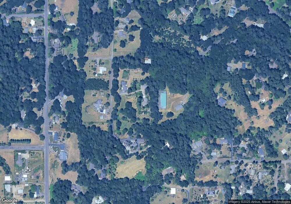
Map
Nearby Homes
- 6815 NW Concord Dr
- 6440 NW Sisters Place
- Lot 6 & 7 NW Overlook Dr
- 913 NW Raintree Dr
- 5823 NW Village Green Place
- 5833 NW Highland Place
- 115 NW Harmony Ln
- 6680 NW Niagara Place
- 1550 NW Emperor Dr
- 0 NE Elliott Cir
- 110 NE Thousand Oak Dr
- 110 NE Thousand Oaks Dr
- 6219 NE Pettibone Dr
- 6090 NW Rosewood Dr
- 5055 NE Elliott Cir
- 5055 NE Elliott Cir Unit 35 Cir
- Lot 6 NW Earliblue Dr
- Land - Lot #4 NW Earliblue Dr
- 2790 NW Sulphur Springs Rd
- 4 NW Earliblue (Lot 4) Ln
- 560 NW Leprechaun Ln
- 6925 NW Appaloosa Ln
- 6789 NW Appaloosa Ln
- 7015 NW Appaloosa Ln
- 6930 NW Appaloosa Ln
- 6980 NW Appaloosa Ln
- 525 NW Armstrong Way
- 465 NW Armstrong Way
- 7035 NW Appaloosa Ln
- 6560 NW Sumac Dr
- 530 NW Leprechaun Ln
- 7000 NW Appaloosa Ln
- 7055 NW Appaloosa Ln
- 6855 NW Mountain View Dr
- 6560 NW Appaloosa Ln
- 325 NW Leprechaun Ln
- 6550 NW Sumac Dr
- 395 NW Armstrong Way
- 6975 NW Mountain View Dr
- 6785 NW Mountain View Dr