6901 W 7300 N American Fork, UT 84003
4
Beds
3
Baths
2,292
Sq Ft
5.39
Acres
About This Home
This home is located at 6901 W 7300 N, American Fork, UT 84003. 6901 W 7300 N is a home located in Utah County with nearby schools including Greenwood Elementary School, American Fork Junior High School, and American Fork High School.
Ownership History
Date
Name
Owned For
Owner Type
Purchase Details
Closed on
Sep 20, 2019
Sold by
Af Pd Llc
Bought by
Af Pd Llc
Home Financials for this Owner
Home Financials are based on the most recent Mortgage that was taken out on this home.
Original Mortgage
$16,947,450
Outstanding Balance
$14,844,649
Interest Rate
3.6%
Mortgage Type
Commercial
Purchase Details
Closed on
Apr 8, 2019
Sold by
Af Pd Llc
Bought by
American Fork City
Purchase Details
Closed on
Jan 31, 2019
Sold by
Penrod Kelly M and Penrod Denise E
Bought by
Af Pd Llc
Purchase Details
Closed on
Feb 8, 2016
Sold by
Penrod Kelly M and Penrod Denise Penrod
Bought by
Renrod Klley M and Renrod Denise Renrod
Create a Home Valuation Report for This Property
The Home Valuation Report is an in-depth analysis detailing your home's value as well as a comparison with similar homes in the area
Home Values in the Area
Average Home Value in this Area
Purchase History
| Date | Buyer | Sale Price | Title Company |
|---|---|---|---|
| Af Pd Llc | -- | Metro National Title | |
| American Fork City | -- | None Available | |
| Af Pd Llc | -- | Us Title Insurance Agency | |
| Renrod Klley M | -- | None Available |
Source: Public Records
Mortgage History
| Date | Status | Borrower | Loan Amount |
|---|---|---|---|
| Open | Af Pd Llc | $16,947,450 |
Source: Public Records
Tax History Compared to Growth
Tax History
| Year | Tax Paid | Tax Assessment Tax Assessment Total Assessment is a certain percentage of the fair market value that is determined by local assessors to be the total taxable value of land and additions on the property. | Land | Improvement |
|---|---|---|---|---|
| 2020 | $0 | $0 | $0 | $0 |
| 2019 | $5,104 | $665,300 | $469,000 | $196,300 |
| 2018 | $1,023 | $577,300 | $454,000 | $123,300 |
| 2017 | $1,045 | $97,210 | $0 | $0 |
| 2016 | $1,100 | $93,968 | $0 | $0 |
| 2015 | $1,151 | $93,953 | $0 | $0 |
| 2014 | $1,158 | $94,040 | $0 | $0 |
Source: Public Records
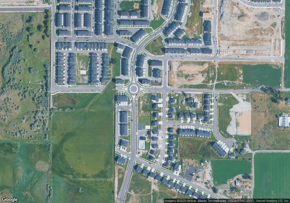
Map
Nearby Homes
- Buchanan Plan at Meadowbrook - Legacy
- Highgrove Plan at Meadowbrook - Regency
- Madison Plan at Meadowbrook - Legacy
- Hillsborough Plan at Meadowbrook - Regency
- kensington Plan at Meadowbrook - Regency
- Washington Plan at Meadowbrook - Legacy
- Jefferson Plan at Meadowbrook - Legacy
- McKinley Plan at Meadowbrook - Legacy
- 882 W 560 S
- 538 S 900 W
- 525 S 900 W
- 1024 W 570 S
- 902 W 800 S Unit 902
- 795 W 540 S
- 795 W 540 S Unit 338
- 798 W 520 S Unit 417
- 507 S 800 W Unit 410
- 777 W 540 S Unit 342
- 777 W 540 S
- 775 W 540 S Unit 343
- 653 S 950 W Unit 263
- 657 S 950 W
- 661 S 950 W
- 667 S 950 W
- 673 S 950 W
- 908 W 650 S
- 943 S 900 W Unit 100
- 914 W 650 S
- 679 S 950 W Unit 268
- 679 S 950 W
- 656 S 850 W Unit AFA103
- 656 S 850 W
- 683 S 950 W Unit 269
- 638 S 850 W Unit AFA102
- 934 W 650 S Unit 261
- 934 W 650 S
- 689 S 950 W Unit 270
- 948 W 650 S
- 688 S 850 W Unit AFA104
- 693 S 950 W Unit 271