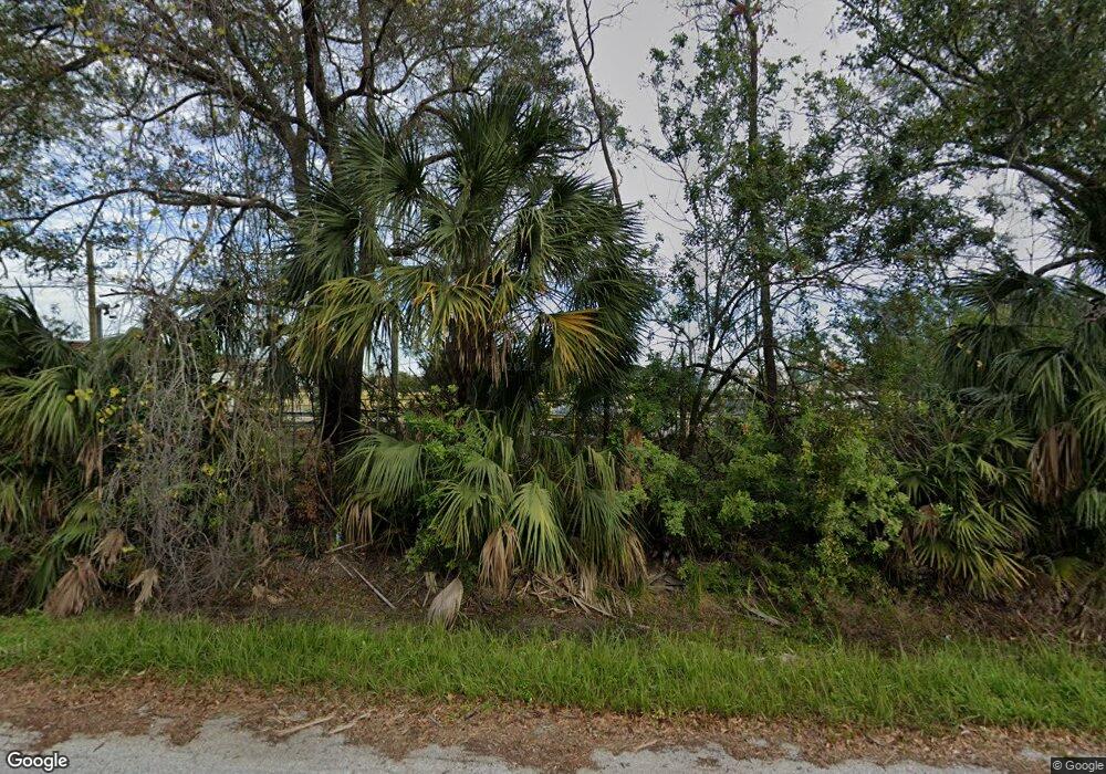
6902 E 6th Ave Tampa, FL 33619
Eastside Commercial Tampa NeighborhoodEstimated Value: $151,000
3
Beds
3
Baths
1,568
Sq Ft
$96/Sq Ft
Est. Value
About This Home
This home is located at 6902 E 6th Ave, Tampa, FL 33619 and is currently estimated at $151,000, approximately $96 per square foot. 6902 E 6th Ave is a home located in Hillsborough County with nearby schools including Kenly Elementary School, Mann Middle School, and Howard W. Blake High School & Magnet Program.
Ownership History
Date
Name
Owned For
Owner Type
Purchase Details
Closed on
Jul 11, 2005
Sold by
Levant Lee A
Bought by
Levant Enterprises Llc
Current Estimated Value
Purchase Details
Closed on
Oct 2, 1997
Sold by
Air Products And Chemicals Inc
Bought by
Levant Lee A
Home Financials for this Owner
Home Financials are based on the most recent Mortgage that was taken out on this home.
Original Mortgage
$270,000
Interest Rate
7.46%
Mortgage Type
Credit Line Revolving
Create a Home Valuation Report for This Property
The Home Valuation Report is an in-depth analysis detailing your home's value as well as a comparison with similar homes in the area
Home Values in the Area
Average Home Value in this Area
Purchase History
| Date | Buyer | Sale Price | Title Company |
|---|---|---|---|
| Levant Enterprises Llc | $133,400 | -- | |
| Levant Lee A | $300,000 | -- |
Source: Public Records
Mortgage History
| Date | Status | Borrower | Loan Amount |
|---|---|---|---|
| Previous Owner | Levant Lee A | $270,000 |
Source: Public Records
Tax History Compared to Growth
Tax History
| Year | Tax Paid | Tax Assessment Tax Assessment Total Assessment is a certain percentage of the fair market value that is determined by local assessors to be the total taxable value of land and additions on the property. | Land | Improvement |
|---|---|---|---|---|
| 2024 | $31,715 | $1,181,927 | $848,896 | $333,031 |
| 2023 | $29,016 | $1,031,870 | $808,472 | $223,398 |
| 2022 | $28,770 | $1,031,003 | $808,472 | $222,531 |
| 2021 | $25,562 | $914,356 | $727,625 | $186,731 |
| 2020 | $23,924 | $845,260 | $666,989 | $178,271 |
| 2019 | $21,996 | $762,396 | $606,354 | $156,042 |
| 2018 | $15,422 | $752,643 | $0 | $0 |
| 2017 | $14,998 | $734,045 | $0 | $0 |
| 2016 | $13,881 | $654,528 | $0 | $0 |
| 2015 | $12,437 | $595,025 | $0 | $0 |
| 2014 | $12,275 | $585,186 | $0 | $0 |
| 2013 | -- | $583,980 | $0 | $0 |
Source: Public Records
Map
Nearby Homes
- 2210 N 64th St
- 2217 N 64th St
- 2011 N 61st St
- 2809 Anthony St
- 0 Eugene St
- 6229 Eugene Ave
- 7201 E 21st Ave
- 6925 E 21st Ave
- 6812 E 21st Ave
- 6416 E 23rd Ave
- 5260 E 21st Ave
- 6517 E 24th Ave
- 6808 New York Dr
- 7409 & 7411 E 23rd Ave
- 3007 N 76th St
- 6902 Rhode Island Dr
- 3112 Gordon Ct
- 6902 E 26th Ave
- 7512 Rhode Island Dr
- 6610 Myrna Dr
- 7103 E 6th Ave
- 7101 E 7th Ave
- 1512 McKay Bay Ct Unit 2
- 1512 McKay Bay Ct Unit 4
- 1512 McKay Bay Ct Unit 3
- 1512 McKay Bay Ct
- 2417 N 70th St
- 1910 Orient Rd
- 1902 Orient Rd
- 7182 E 7th Ave Unit 103
- 1906 Orient Rd
- 2004 N 64th St
- 2105 N 65th St
- 2106 N 66th St
- 7007 E 14th Ave
- 2107 N 65th St
- 2100 Orient Rd
- 2103 N 64th St
- 2108 N 65th St
- 2105 N 64th St Unit 12
