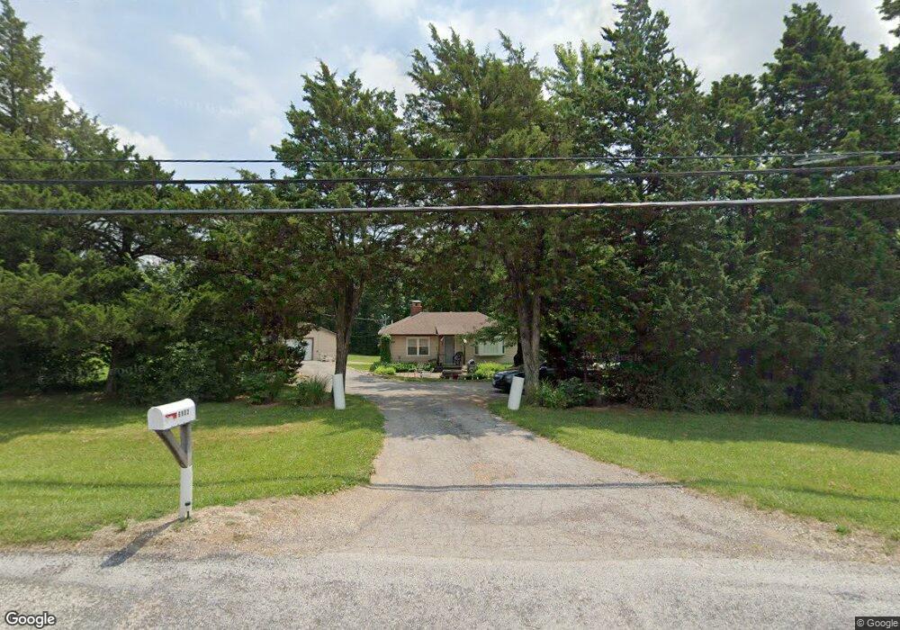
6902 Old State Route 21 Barnhart, MO 63012
Estimated Value: $135,000 - $205,000
--
Bed
--
Bath
768
Sq Ft
$222/Sq Ft
Est. Value
About This Home
This home is located at 6902 Old State Route 21, Barnhart, MO 63012 and is currently estimated at $170,872, approximately $222 per square foot. 6902 Old State Route 21 is a home located in Jefferson County with nearby schools including Antonia Elementary School, Antonia Middle School, and Seckman Senior High School.
Ownership History
Date
Name
Owned For
Owner Type
Purchase Details
Closed on
May 15, 2000
Sold by
Howard Leslie and Howard Elizabeth
Bought by
Godby Ronnie R and Godby Betty A
Current Estimated Value
Home Financials for this Owner
Home Financials are based on the most recent Mortgage that was taken out on this home.
Original Mortgage
$73,700
Outstanding Balance
$25,553
Interest Rate
8.19%
Estimated Equity
$145,319
Create a Home Valuation Report for This Property
The Home Valuation Report is an in-depth analysis detailing your home's value as well as a comparison with similar homes in the area
Home Values in the Area
Average Home Value in this Area
Purchase History
| Date | Buyer | Sale Price | Title Company |
|---|---|---|---|
| Godby Ronnie R | -- | First American Title |
Source: Public Records
Mortgage History
| Date | Status | Borrower | Loan Amount |
|---|---|---|---|
| Open | Godby Ronnie R | $73,700 |
Source: Public Records
Tax History Compared to Growth
Tax History
| Year | Tax Paid | Tax Assessment Tax Assessment Total Assessment is a certain percentage of the fair market value that is determined by local assessors to be the total taxable value of land and additions on the property. | Land | Improvement |
|---|---|---|---|---|
| 2025 | $1,185 | $18,300 | $5,900 | $12,400 |
| 2024 | $1,185 | $17,400 | $5,900 | $11,500 |
| 2023 | $1,185 | $17,400 | $5,900 | $11,500 |
| 2022 | $1,184 | $17,400 | $5,900 | $11,500 |
| 2021 | $1,185 | $17,400 | $5,900 | $11,500 |
| 2020 | $1,136 | $15,600 | $5,400 | $10,200 |
| 2019 | $1,136 | $15,600 | $5,400 | $10,200 |
| 2018 | $1,126 | $15,600 | $5,400 | $10,200 |
| 2017 | $1,088 | $15,600 | $5,400 | $10,200 |
| 2016 | $1,019 | $14,600 | $5,400 | $9,200 |
| 2015 | $948 | $14,600 | $5,400 | $9,200 |
| 2013 | $948 | $13,500 | $4,900 | $8,600 |
Source: Public Records
Map
Nearby Homes
- 6748 Old State Route 21
- 0 Wooded Acres
- 7577 Sheppard Dr
- 3544 Antonia Woods Dr
- 4598 Schenk Rd
- 4844 Walmar Rd
- 6420 Glennsway Dr
- 5389 Old State Route 21
- Amanda Plan at Antonia Estates
- Kayla Plan at Antonia Estates
- Marylyn Plan at Antonia Estates
- Madison Plan at Antonia Estates
- Julieann Plan at Antonia Estates
- Blake Plan at Antonia Estates
- Connor Plan at Antonia Estates
- Brittany Plan at Antonia Estates
- 0 Antonia Estates - Amanda Unit MAR24055190
- 0 Antonia Estates - Brittany Unit MAR24055149
- 0 Antonia Estates - Madison Unit MAR24055178
- 0 Antonia Estates - Connor Unit MAR24055157
- 6908 Old State Route 21
- 6901 Old State Route 21
- 6914 Old State Route 21
- 6884 Old State Route 21
- 6911 Old State Route 21
- 6891 Old State Route 21
- 6925 Old State Route 21
- 3 Wood View Lot
- 5 Wood View Lot
- 6941 Old State Route 21
- 4608 Starlight Dr
- 2 Woodcrest Cir
- 2 Wood View Lot
- 4618 Starlight Dr
- 3 Deepwoods Ln
- 6971 Old State Route 21
- 5 Deepwoods Ln
- 6821 Old State Route 21
- 4628 Starlight Dr
- 1 Deepwoods Ln