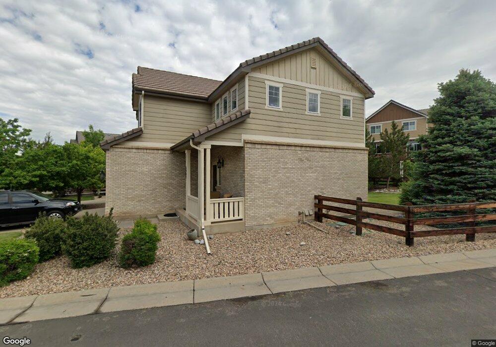
6902 S Algonquian Ct Aurora, CO 80016
Tallyn's Reach NeighborhoodEstimated Value: $572,000 - $601,000
3
Beds
4
Baths
1,457
Sq Ft
$402/Sq Ft
Est. Value
About This Home
This home is located at 6902 S Algonquian Ct, Aurora, CO 80016 and is currently estimated at $586,096, approximately $402 per square foot. 6902 S Algonquian Ct is a home located in Arapahoe County with nearby schools including Coyote Hills Elementary School, Cherokee Trail High School, and Our Lady of Loreto School.
Ownership History
Date
Name
Owned For
Owner Type
Purchase Details
Closed on
Oct 28, 2005
Sold by
Richmond American Homes Of Colorado Inc
Bought by
Race Diane L
Current Estimated Value
Home Financials for this Owner
Home Financials are based on the most recent Mortgage that was taken out on this home.
Original Mortgage
$218,951
Outstanding Balance
$118,939
Interest Rate
5.9%
Mortgage Type
Fannie Mae Freddie Mac
Estimated Equity
$467,157
Create a Home Valuation Report for This Property
The Home Valuation Report is an in-depth analysis detailing your home's value as well as a comparison with similar homes in the area
Home Values in the Area
Average Home Value in this Area
Purchase History
| Date | Buyer | Sale Price | Title Company |
|---|---|---|---|
| Race Diane L | $273,600 | -- |
Source: Public Records
Mortgage History
| Date | Status | Borrower | Loan Amount |
|---|---|---|---|
| Open | Race Diane L | $218,951 |
Source: Public Records
Tax History Compared to Growth
Tax History
| Year | Tax Paid | Tax Assessment Tax Assessment Total Assessment is a certain percentage of the fair market value that is determined by local assessors to be the total taxable value of land and additions on the property. | Land | Improvement |
|---|---|---|---|---|
| 2024 | $4,020 | $37,822 | -- | -- |
| 2023 | $4,020 | $37,822 | $0 | $0 |
| 2022 | $3,419 | $28,995 | $0 | $0 |
| 2021 | $3,426 | $28,995 | $0 | $0 |
| 2020 | $3,591 | $28,321 | $0 | $0 |
| 2019 | $3,518 | $28,321 | $0 | $0 |
| 2018 | $3,143 | $24,494 | $0 | $0 |
| 2017 | $3,117 | $24,494 | $0 | $0 |
| 2016 | $2,738 | $21,572 | $0 | $0 |
| 2015 | $2,657 | $21,572 | $0 | $0 |
| 2014 | $2,213 | $16,676 | $0 | $0 |
| 2013 | -- | $17,710 | $0 | $0 |
Source: Public Records
Map
Nearby Homes
- 6911 S Algonquian Ct
- 7036 S Gun Club Ct
- 6842 S Algonquian Ct
- 6995 S Buchanan Ct
- 23464 E Ontario Place
- 6722 S Winnipeg Cir Unit 103
- 23901 E Easter Place
- 22843 E Briarwood Place
- 7111 S Wenatchee Way Unit C
- 22960 E Roxbury Dr Unit E
- 22960 E Roxbury Dr Unit G
- 22801 E Briarwood Place
- 6560 S Addison Way
- 6648 S Catawba Way
- 22771 E Briarwood Place
- 7370 S Catawba Way
- 22782 E Briarwood Place
- 24277 E Davies Place
- 6552 S Biloxi Way
- 22754 E Rowland Dr
- 6900 S Algonquian Ct
- 6887 S Biloxi Ct
- 6931 S Algonquian Ct
- 6889 S Biloxi Ct
- 6923 S Algonquian Ct
- 6879 S Biloxi Ct
- 6892 S Algonquian Ct
- 6921 S Algonquian Ct
- 6933 S Algonquian Ct
- 6897 S Biloxi Ct
- 6877 S Biloxi Ct
- 6913 S Algonquian Ct
- 6890 S Algonquian Ct
- 6899 S Biloxi Ct
- 23531 E Portland Way
- 23521 E Portland Way
- 23511 E Portland Way
- 6882 S Algonquian Ct
- 6869 S Biloxi Ct
- 6907 S Biloxi Ct