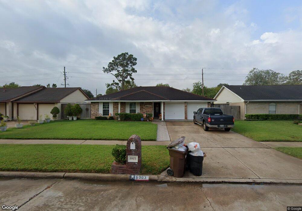
6903 Sandswept Ln Houston, TX 77086
North Houston NeighborhoodEstimated Value: $197,790 - $220,000
3
Beds
2
Baths
1,205
Sq Ft
$170/Sq Ft
Est. Value
About This Home
This home is located at 6903 Sandswept Ln, Houston, TX 77086 and is currently estimated at $204,448, approximately $169 per square foot. 6903 Sandswept Ln is a home located in Harris County with nearby schools including Kujawa EC/Pre-K/K School, Carmichael Elementary School, and Shotwell Middle School.
Ownership History
Date
Name
Owned For
Owner Type
Purchase Details
Closed on
Mar 31, 2000
Sold by
Patke Billy Ray and Patke Jannette M
Bought by
Ovalle Gabriel A and Ovalle Yuli E
Current Estimated Value
Home Financials for this Owner
Home Financials are based on the most recent Mortgage that was taken out on this home.
Original Mortgage
$63,906
Outstanding Balance
$22,114
Interest Rate
8.37%
Mortgage Type
FHA
Estimated Equity
$182,334
Create a Home Valuation Report for This Property
The Home Valuation Report is an in-depth analysis detailing your home's value as well as a comparison with similar homes in the area
Home Values in the Area
Average Home Value in this Area
Purchase History
| Date | Buyer | Sale Price | Title Company |
|---|---|---|---|
| Ovalle Gabriel A | -- | Fidelity National Title |
Source: Public Records
Mortgage History
| Date | Status | Borrower | Loan Amount |
|---|---|---|---|
| Open | Ovalle Gabriel A | $63,906 |
Source: Public Records
Tax History Compared to Growth
Tax History
| Year | Tax Paid | Tax Assessment Tax Assessment Total Assessment is a certain percentage of the fair market value that is determined by local assessors to be the total taxable value of land and additions on the property. | Land | Improvement |
|---|---|---|---|---|
| 2025 | $2,584 | $189,137 | $39,135 | $150,002 |
| 2024 | $2,584 | $189,137 | $39,135 | $150,002 |
| 2023 | $2,584 | $195,514 | $39,135 | $156,379 |
| 2022 | $3,335 | $164,829 | $33,165 | $131,664 |
| 2021 | $3,025 | $136,449 | $33,165 | $103,284 |
| 2020 | $3,057 | $129,606 | $33,165 | $96,441 |
| 2019 | $2,889 | $123,269 | $16,912 | $106,357 |
| 2018 | $985 | $117,224 | $16,912 | $100,312 |
| 2017 | $2,303 | $108,254 | $15,187 | $93,067 |
| 2016 | $2,093 | $98,440 | $15,187 | $83,253 |
| 2015 | $1,453 | $93,007 | $15,187 | $77,820 |
| 2014 | $1,453 | $70,901 | $15,187 | $55,714 |
Source: Public Records
Map
Nearby Homes
- 7002 Sandswept Ln
- 6722 Winding Trace Dr
- 7023 Sandswept Ln
- 6911 Silver Star Dr
- 6654 Brownie Campbell Rd
- 6630 Brownie Campbell Rd
- 6615 Winding Trace Dr
- 6822 Dusty Dawn Dr
- 7218 Winding Trace Dr
- 10307 Bammel North Houston Rd
- 10614 Mackenzie Dr
- 11007 Tobasa Ct
- 10522 Northview Dr
- 10306 Jillana Kaye Dr
- 11006 Crinkleawn Dr
- 6610 Northleaf Dr
- 10711 Heather Hill Dr
- 6502 Trail Valley Way
- 7222 Northleaf Dr
- 6830 Desert Rose Ln
- 6827 Sandswept Ln
- 6907 Sandswept Ln
- 6922 Trail Valley Way
- 6918 Trail Valley Way
- 6823 Sandswept Ln
- 6911 Sandswept Ln
- 6926 Trail Valley Way
- 6914 Trail Valley Way
- 6906 Sandswept Ln
- 6902 Sandswept Ln
- 6930 Trail Valley Way
- 6819 Sandswept Ln
- 6915 Sandswept Ln
- 6910 Sandswept Ln
- 6910 Trail Valley Way
- 6914 Sandswept Ln
- 6822 Sandswept Ln
- 6934 Trail Valley Way
- 6815 Sandswept Ln
- 6923 Sandswept Ln