6905 Findlay Rd Saint Johns, MI 48879
Estimated Value: $278,000 - $481,000
3
Beds
4
Baths
2,139
Sq Ft
$178/Sq Ft
Est. Value
About This Home
This home is located at 6905 Findlay Rd, Saint Johns, MI 48879 and is currently estimated at $380,894, approximately $178 per square foot. 6905 Findlay Rd is a home located in Clinton County with nearby schools including St. Johns High School.
Ownership History
Date
Name
Owned For
Owner Type
Purchase Details
Closed on
Aug 10, 2005
Sold by
Gove Ralph W and Gove Priscilla
Bought by
Gibbs John A and Gibbs Debra A
Current Estimated Value
Home Financials for this Owner
Home Financials are based on the most recent Mortgage that was taken out on this home.
Original Mortgage
$198,900
Outstanding Balance
$104,485
Interest Rate
5.66%
Mortgage Type
Fannie Mae Freddie Mac
Estimated Equity
$276,409
Create a Home Valuation Report for This Property
The Home Valuation Report is an in-depth analysis detailing your home's value as well as a comparison with similar homes in the area
Home Values in the Area
Average Home Value in this Area
Purchase History
| Date | Buyer | Sale Price | Title Company |
|---|---|---|---|
| Gibbs John A | $18,000 | First American Title |
Source: Public Records
Mortgage History
| Date | Status | Borrower | Loan Amount |
|---|---|---|---|
| Open | Gibbs John A | $198,900 |
Source: Public Records
Tax History Compared to Growth
Tax History
| Year | Tax Paid | Tax Assessment Tax Assessment Total Assessment is a certain percentage of the fair market value that is determined by local assessors to be the total taxable value of land and additions on the property. | Land | Improvement |
|---|---|---|---|---|
| 2025 | $2,427 | $174,600 | $17,000 | $157,600 |
| 2024 | $1,089 | $164,300 | $14,000 | $150,300 |
| 2023 | $1,031 | $146,900 | $0 | $0 |
| 2022 | $2,195 | $136,000 | $12,600 | $123,400 |
| 2021 | $2,146 | $123,800 | $11,300 | $112,500 |
| 2020 | $2,066 | $116,600 | $10,300 | $106,300 |
| 2019 | $1,967 | $104,000 | $9,800 | $94,200 |
| 2018 | $1,920 | $102,800 | $9,800 | $93,000 |
| 2017 | -- | $104,000 | $9,800 | $94,200 |
| 2016 | -- | $101,000 | $11,000 | $90,000 |
| 2015 | -- | $87,900 | $0 | $0 |
| 2011 | -- | $83,200 | $0 | $0 |
Source: Public Records
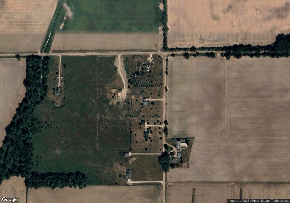
Map
Nearby Homes
- 5233 Paxton Rd
- 7757 N Forest Hill Rd
- 8095 Mcintosh Rd
- 8150 Idared Rd
- 7240 Empire Rd
- 0 V/L W Colony Rd
- 0 W Colony Unit 286993
- TBD E Main St
- 8843 N Dewitt Rd
- 126 E Washington St
- 129 E Main St
- V/L Mill St
- 209 W Adelaide St
- 7717 N Wacousta Rd
- 9515 W Moss Rd
- 4813 Lakeside Dr
- 17 Skyline Dr
- 005 Skyline Dr
- 5100 Rainbow Lake Rd
- 102 Lakeside Dr
- 5505 W Island Rd
- 6833 Findlay Rd
- 5599 W Island Rd
- 6798 Findlay Rd
- 6777 Findlay Rd
- 5707 W Island Rd
- 5915 W Island Rd
- 6455 Findlay Rd
- 5453 W Marshall Rd
- 7046 N Lowell Rd
- 6410 Findlay Rd
- 6011 W Island Rd
- 6397 Findlay Rd
- 5251 W Hyde Rd
- 6377 Findlay Rd
- 5133 W Marshall Rd
- 6115 W Island Rd
- 5115 W Marshall Rd
- 6363 Findlay Rd
- 5263 W Hyde Rd