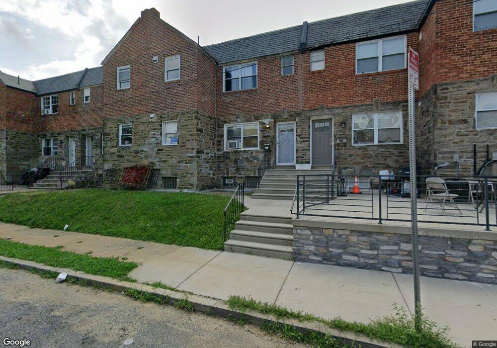
6905 Sylvester St Philadelphia, PA 19149
Castor Gardens NeighborhoodEstimated Value: $317,000 - $350,728
4
Beds
2
Baths
1,716
Sq Ft
$191/Sq Ft
Est. Value
About This Home
This home is located at 6905 Sylvester St, Philadelphia, PA 19149 and is currently estimated at $328,576, approximately $191 per square foot. 6905 Sylvester St is a home located in Philadelphia County with nearby schools including Solomon Solis-Cohen School, Castor Gardens Middle School, and Northeast High School.
Ownership History
Date
Name
Owned For
Owner Type
Purchase Details
Closed on
Aug 11, 2008
Sold by
Sadler Edward A and Sadler Doris R
Bought by
Louie For Liang
Current Estimated Value
Home Financials for this Owner
Home Financials are based on the most recent Mortgage that was taken out on this home.
Original Mortgage
$145,800
Outstanding Balance
$96,021
Interest Rate
6.4%
Mortgage Type
Commercial
Estimated Equity
$232,555
Purchase Details
Closed on
Jul 22, 1999
Sold by
Mccafferty Gerri
Bought by
Sadler Edward A
Create a Home Valuation Report for This Property
The Home Valuation Report is an in-depth analysis detailing your home's value as well as a comparison with similar homes in the area
Home Values in the Area
Average Home Value in this Area
Purchase History
| Date | Buyer | Sale Price | Title Company |
|---|---|---|---|
| Louie For Liang | $162,000 | None Available | |
| Sadler Edward A | $64,000 | -- |
Source: Public Records
Mortgage History
| Date | Status | Borrower | Loan Amount |
|---|---|---|---|
| Open | Louie For Liang | $145,800 |
Source: Public Records
Tax History Compared to Growth
Tax History
| Year | Tax Paid | Tax Assessment Tax Assessment Total Assessment is a certain percentage of the fair market value that is determined by local assessors to be the total taxable value of land and additions on the property. | Land | Improvement |
|---|---|---|---|---|
| 2025 | $3,077 | $323,900 | $64,780 | $259,120 |
| 2024 | $3,077 | $323,900 | $64,780 | $259,120 |
| 2023 | $3,077 | $219,800 | $43,960 | $175,840 |
| 2022 | $2,562 | $219,800 | $43,960 | $175,840 |
| 2021 | $2,562 | $0 | $0 | $0 |
| 2020 | $2,562 | $0 | $0 | $0 |
| 2019 | $2,458 | $0 | $0 | $0 |
| 2018 | $2,377 | $0 | $0 | $0 |
| 2017 | $2,377 | $0 | $0 | $0 |
| 2016 | $2,377 | $0 | $0 | $0 |
| 2015 | $2,275 | $0 | $0 | $0 |
| 2014 | -- | $169,800 | $23,505 | $146,295 |
| 2012 | -- | $19,616 | $1,014 | $18,602 |
Source: Public Records
Map
Nearby Homes
- 6900 Eastwood St
- 6826 Sylvester St
- 2011 Longshore Ave
- 6829 Horrocks St
- 6946 Kindred St
- 7028 Horrocks St
- 6834 Large St
- 7034 Souder St
- 6725 Eastwood St
- 2110 Longshore Ave
- 7039 Kindred St
- 6827 Lynford St
- 2119 Glenview St
- 6739 Lynford St
- 6640 Souder St
- 7123 Souder St
- 7019 Rutland St
- 6627 Oakland St
- 6621 Sylvester St
- 7035 Rutland St
- 6907 Sylvester St
- 6903 Sylvester St
- 6909 Sylvester St
- 6901 Sylvester St
- 6911 Sylvester St
- 6904 Oakland St
- 6906 Oakland St
- 6902 Oakland St
- 6900 Oakland St Unit 2ND FL
- 6900 Oakland St
- 6908 Oakland St
- 6913 Sylvester St
- 6910 Oakland St
- 6915 Sylvester St
- 6912 Oakland St
- 6904 Sylvester St
- 6906 Sylvester St
- 6902 Sylvester St
- 6900 Sylvester St
- 6908 Sylvester St