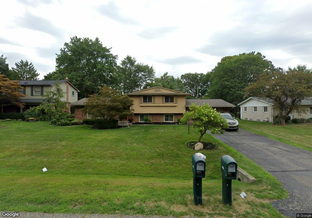
6905 Wild Ridge Ln West Bloomfield, MI 48322
Estimated Value: $349,214 - $426,000
3
Beds
3
Baths
1,960
Sq Ft
$199/Sq Ft
Est. Value
About This Home
This home is located at 6905 Wild Ridge Ln, West Bloomfield, MI 48322 and is currently estimated at $389,554, approximately $198 per square foot. 6905 Wild Ridge Ln is a home located in Oakland County with nearby schools including Sheiko Elementary School, West Bloomfield Middle School, and Bloomfield Maples Montessori.
Ownership History
Date
Name
Owned For
Owner Type
Purchase Details
Closed on
May 22, 2017
Sold by
Colley Dashaun D and Colley Jordonna D
Bought by
Colley Dashaun D and Colley Jordonna D
Current Estimated Value
Purchase Details
Closed on
Feb 14, 2011
Sold by
Langer Eric and Langer Evelyn
Bought by
Colley Jordonna D
Create a Home Valuation Report for This Property
The Home Valuation Report is an in-depth analysis detailing your home's value as well as a comparison with similar homes in the area
Home Values in the Area
Average Home Value in this Area
Purchase History
| Date | Buyer | Sale Price | Title Company |
|---|---|---|---|
| Colley Dashaun D | -- | None Available | |
| Colley Dashaun D | -- | None Available | |
| Colley Jordonna D | $148,000 | Title Express Llc |
Source: Public Records
Tax History Compared to Growth
Tax History
| Year | Tax Paid | Tax Assessment Tax Assessment Total Assessment is a certain percentage of the fair market value that is determined by local assessors to be the total taxable value of land and additions on the property. | Land | Improvement |
|---|---|---|---|---|
| 2024 | $2,057 | $141,990 | $0 | $0 |
| 2022 | $1,969 | $121,350 | $42,590 | $78,760 |
| 2021 | $2,992 | $116,050 | $0 | $0 |
| 2020 | $1,930 | $112,710 | $42,590 | $70,120 |
| 2018 | $2,885 | $109,270 | $42,590 | $66,680 |
| 2015 | -- | $79,310 | $0 | $0 |
| 2014 | -- | $73,160 | $0 | $0 |
| 2011 | -- | $67,210 | $0 | $0 |
Source: Public Records
Map
Nearby Homes
- 7023 Wild Ridge Ln
- 6769 Heather Heath
- 6624 Mellow Wood Ln
- 7027 Beverly Crest Dr
- 6843 Leslee Crest Dr
- 6564 Alderley Way
- 7251 N Briarcliff Knoll Dr
- 7335 Coach Ln
- 6545 Post Oak Dr
- 5312 Cambourne Place
- 7421 Heather Heath
- 7477 Heather Heath
- 7209 Stonebrook Rd
- 7496 Cornwall Ct
- 7477 Gramercy Cir Unit 17
- 30515 W 14 Mile Rd Unit 30
- 30515 W 14 Mile Rd Unit 37
- 7479 Gramercy Cir Unit 16
- 30475 W 14 Mile Rd Unit 80
- 30475 W 14 Mile Rd Unit 95
- 6919 Wild Ridge Ln
- 6751 Wild Ridge Ln
- 6734 Edinborough
- 6748 Edinborough
- 6933 Wild Ridge Ln
- 6737 Wild Ridge Ln
- 6902 Wild Ridge Ln
- 6720 Edinborough
- 6910 Wild Ridge Ln
- 6748 Wild Ridge Ln
- 6930 Wild Ridge Ln
- 6947 Wild Ridge Ln
- 6723 Wild Ridge Ln
- 6732 Wild Ridge Ln
- 6706 Edinborough
- 6776 Edinborough
- 6944 Wild Ridge Ln
- 6937 Pine Eagle Ln
- 6951 Pine Eagle Ln
- 6718 Wild Ridge Ln