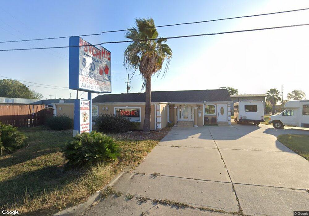
6906 Fairbanks n Houston Rd Houston, TX 77040
North Houston NeighborhoodEstimated Value: $341,000 - $377,477
--
Bed
--
Bath
2,505
Sq Ft
$143/Sq Ft
Est. Value
About This Home
This home is located at 6906 Fairbanks n Houston Rd, Houston, TX 77040 and is currently estimated at $357,826, approximately $142 per square foot. 6906 Fairbanks n Houston Rd is a home located in Harris County with nearby schools including Post Elementary School, Dean Middle School, and Jersey Village High School.
Ownership History
Date
Name
Owned For
Owner Type
Purchase Details
Closed on
Aug 11, 2014
Sold by
Cepeda Maria G
Bought by
Villarreal Teresa C
Current Estimated Value
Purchase Details
Closed on
Oct 18, 2004
Sold by
Shojaie Mansour Salami
Bought by
Evans Steve
Create a Home Valuation Report for This Property
The Home Valuation Report is an in-depth analysis detailing your home's value as well as a comparison with similar homes in the area
Home Values in the Area
Average Home Value in this Area
Purchase History
| Date | Buyer | Sale Price | Title Company |
|---|---|---|---|
| Villarreal Teresa C | -- | -- | |
| Villarreal Teresa C | -- | -- | |
| Evans Steve | -- | -- |
Source: Public Records
Mortgage History
| Date | Status | Borrower | Loan Amount |
|---|---|---|---|
| Closed | Evans Steve | $0 |
Source: Public Records
Tax History Compared to Growth
Tax History
| Year | Tax Paid | Tax Assessment Tax Assessment Total Assessment is a certain percentage of the fair market value that is determined by local assessors to be the total taxable value of land and additions on the property. | Land | Improvement |
|---|---|---|---|---|
| 2025 | $6,738 | $365,782 | $144,950 | $220,832 |
| 2024 | $6,738 | $365,582 | $144,950 | $220,632 |
| 2023 | $6,738 | $360,978 | $144,950 | $216,028 |
| 2022 | $4,587 | $230,716 | $111,500 | $119,216 |
| 2021 | $4,291 | $205,194 | $111,500 | $93,694 |
| 2020 | $4,234 | $196,515 | $111,500 | $85,015 |
| 2019 | $4,538 | $202,962 | $111,500 | $91,462 |
| 2018 | $2,308 | $160,255 | $78,050 | $82,205 |
| 2017 | $3,563 | $159,315 | $78,050 | $81,265 |
| 2016 | $3,611 | $161,474 | $78,050 | $83,424 |
| 2015 | $3,404 | $162,089 | $78,050 | $84,039 |
| 2014 | $3,404 | $151,680 | $78,050 | $73,630 |
Source: Public Records
Map
Nearby Homes
- 8402 Bondale St
- 7605 Fairbanks North Houston Rd
- 8817 Emmott Rd
- 6819 Oakwood Grove
- 8020 Oakwood Forest Dr
- 8007 E Oakwood Ct
- 7311 Woodoak Dr
- 7410 Wood Bluff Blvd
- 9214 Woodland Oaks Dr
- 14142 Packard St
- 9207 Loren Ln
- 14023 Packard St
- 7718 Breezeway St
- 7911 Battleoak Dr
- 7918 Battleoak Dr
- 7802 Percussion Place
- 7731 Deadwood Dr
- 7714 Rolling Fork Ln
- 8715 Andante Dr
- 8046 Ellinger Ln
- 6906 Houston
- 8427 Bondale St
- 8423 Bondale St
- 8414 Bondale St
- 8419 Bondale St
- 8410 Bondale St
- 8415 Bondale St
- 8411 Bondale St
- 8407 Bondale St
- 8407 Bondale St
- 6938 Fairbanks n Houston Rd
- 8430 W Little York Rd
- 8406 W Little York Rd
- 8415 W Little York Rd
- 8423 W Little York Rd
- 6920 Flintlock Rd
- 6934 Flintlock Rd
- 6714 Fairbanks n Houston Rd
- 6930 Flintlock Rd
- 6902 Flintlock Rd