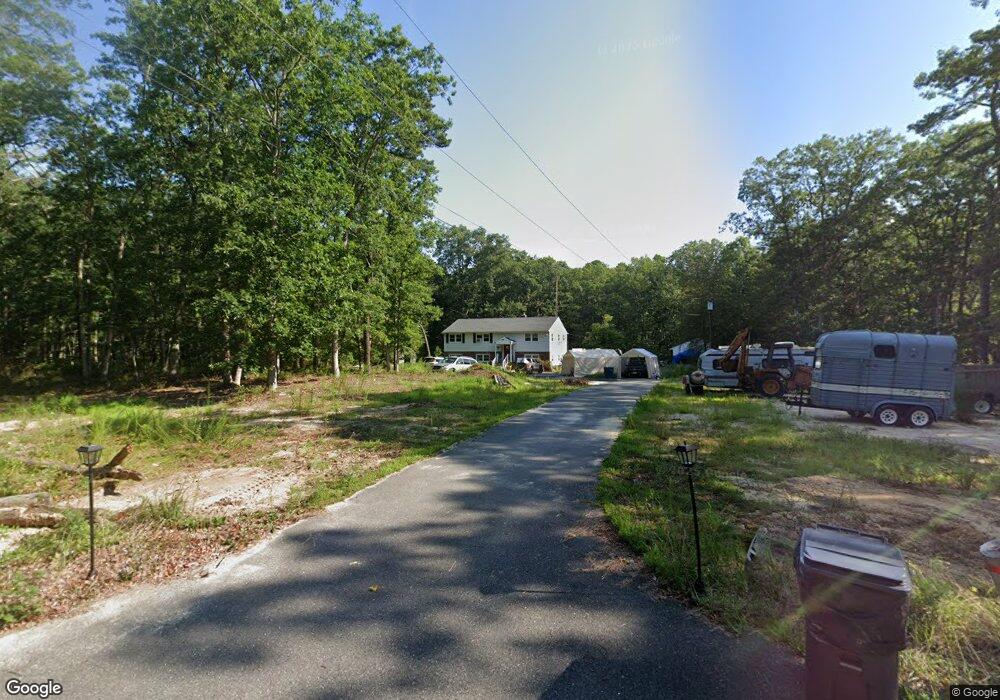
6907 Old Landis Ave Mays Landing, NJ 08330
Estimated Value: $404,000 - $505,000
--
Bed
--
Bath
2,688
Sq Ft
$166/Sq Ft
Est. Value
About This Home
This home is located at 6907 Old Landis Ave, Mays Landing, NJ 08330 and is currently estimated at $445,861, approximately $165 per square foot. 6907 Old Landis Ave is a home with nearby schools including Joseph Shaner School, George L. Hess Educational Complex, and William Davies Middle School.
Ownership History
Date
Name
Owned For
Owner Type
Purchase Details
Closed on
Oct 24, 2001
Sold by
Young John E and Young Dorothy E
Bought by
Rivera Juanita
Current Estimated Value
Home Financials for this Owner
Home Financials are based on the most recent Mortgage that was taken out on this home.
Original Mortgage
$102,400
Outstanding Balance
$39,731
Interest Rate
6.77%
Estimated Equity
$406,130
Purchase Details
Closed on
Jan 22, 1992
Sold by
Oloughlin Michael T
Bought by
Young John E and Young Dorothy E
Purchase Details
Closed on
Jan 21, 1992
Sold by
Krail David P
Bought by
Oloughlin Michael T and Oloughlin Lynn
Create a Home Valuation Report for This Property
The Home Valuation Report is an in-depth analysis detailing your home's value as well as a comparison with similar homes in the area
Home Values in the Area
Average Home Value in this Area
Purchase History
| Date | Buyer | Sale Price | Title Company |
|---|---|---|---|
| Rivera Juanita | $128,000 | Fidelity National Title Ins | |
| Young John E | $113,000 | -- | |
| Oloughlin Michael T | -- | -- |
Source: Public Records
Mortgage History
| Date | Status | Borrower | Loan Amount |
|---|---|---|---|
| Open | Rivera Juanita | $102,400 |
Source: Public Records
Tax History Compared to Growth
Tax History
| Year | Tax Paid | Tax Assessment Tax Assessment Total Assessment is a certain percentage of the fair market value that is determined by local assessors to be the total taxable value of land and additions on the property. | Land | Improvement |
|---|---|---|---|---|
| 2025 | $7,421 | $216,300 | $59,700 | $156,600 |
| 2024 | $7,421 | $216,300 | $59,700 | $156,600 |
| 2023 | $6,978 | $216,300 | $59,700 | $156,600 |
| 2022 | $6,978 | $216,300 | $59,700 | $156,600 |
| 2021 | $6,963 | $216,300 | $59,700 | $156,600 |
| 2020 | $6,963 | $216,300 | $59,700 | $156,600 |
| 2019 | $6,980 | $216,300 | $59,700 | $156,600 |
| 2018 | $6,736 | $216,300 | $59,700 | $156,600 |
| 2017 | $6,630 | $216,300 | $59,700 | $156,600 |
| 2016 | $6,444 | $216,300 | $59,700 | $156,600 |
| 2015 | $6,225 | $216,300 | $59,700 | $156,600 |
| 2014 | $6,265 | $238,500 | $70,200 | $168,300 |
Source: Public Records
Map
Nearby Homes
- 6414 Strand Ave
- 6422 Strand Ave
- 6839 Harding Hwy
- 5485 Landis Ave
- 1368 Sitka Ave
- 1362 Annapolis Ave
- 6917 Market St
- 0 Merton Ave Unit NJAC2020566
- 328 Llewellyn Ave
- 0 Railroad Blvd
- 0 South Ave
- 6752 Harding Hwy
- 6141 Harley Ave
- 0 San Francisco Ave
- 127 Fir Ave
- 329 Millville Ave
- 1031 Tuckahoe Rd
- 1516 Thirty Third St
- 1306 Harding Hwy
- 301 Broad St
- 00 Landis Ave
- 0 Landis Unit 492792
- 6360 Maryland Ave
- 6899 Landis Ave
- 6898 Landis Ave
- 6894 Old Landis Ave
- 6895 Old Landis Ave
- 6361 Maryland Ave
- 6378 Maryland Ave
- 6375 Estelle Ave
- 6882 Old Landis Ave
- 6924 Old Landis Ave
- 6924 Landis Ave
- 6883 Landis Ave
- 6372 Estelle Ave
- 6391 Estelle Ave
- 6906 Harding Hwy
- 6902 Harding Hwy
- 6388 Estelle Ave
- 6894 Harding Hwy