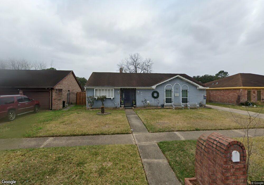
6907 Silver Star Dr Houston, TX 77086
North Houston NeighborhoodEstimated Value: $221,000 - $243,000
3
Beds
2
Baths
1,988
Sq Ft
$117/Sq Ft
Est. Value
About This Home
This home is located at 6907 Silver Star Dr, Houston, TX 77086 and is currently estimated at $232,822, approximately $117 per square foot. 6907 Silver Star Dr is a home located in Harris County with nearby schools including Kujawa EC/Pre-K/K School, Carmichael Elementary School, and Shotwell Middle School.
Ownership History
Date
Name
Owned For
Owner Type
Purchase Details
Closed on
Mar 31, 2003
Sold by
Maldonado Josefa C
Bought by
Maldonado Josefa C
Current Estimated Value
Purchase Details
Closed on
Apr 2, 2001
Sold by
Maldonado Manuel
Bought by
Maldonado Manuel and Maldonado Josefa C
Purchase Details
Closed on
Nov 6, 1998
Sold by
Vanchau Son and Nguyen Tina
Bought by
Nguyen Phuong Huy
Create a Home Valuation Report for This Property
The Home Valuation Report is an in-depth analysis detailing your home's value as well as a comparison with similar homes in the area
Home Values in the Area
Average Home Value in this Area
Purchase History
| Date | Buyer | Sale Price | Title Company |
|---|---|---|---|
| Maldonado Josefa C | -- | -- | |
| Maldonado Manuel | -- | -- | |
| Nguyen Phuong Huy | -- | Houston Title Company |
Source: Public Records
Tax History Compared to Growth
Tax History
| Year | Tax Paid | Tax Assessment Tax Assessment Total Assessment is a certain percentage of the fair market value that is determined by local assessors to be the total taxable value of land and additions on the property. | Land | Improvement |
|---|---|---|---|---|
| 2025 | $4,176 | $205,232 | $39,265 | $165,967 |
| 2024 | $4,176 | $208,806 | $39,265 | $169,541 |
| 2023 | $4,176 | $216,791 | $39,265 | $177,526 |
| 2022 | $2,711 | $176,180 | $33,275 | $142,905 |
| 2021 | $2,458 | $143,180 | $33,275 | $109,905 |
| 2020 | $2,485 | $134,449 | $33,275 | $101,174 |
| 2019 | $2,348 | $128,373 | $16,966 | $111,407 |
| 2018 | $348 | $120,492 | $16,966 | $103,526 |
| 2017 | $1,871 | $111,778 | $15,235 | $96,543 |
| 2016 | $1,701 | $99,410 | $15,235 | $84,175 |
| 2015 | $427 | $90,941 | $15,235 | $75,706 |
| 2014 | $427 | $63,438 | $15,235 | $48,203 |
Source: Public Records
Map
Nearby Homes
- 6911 Silver Star Dr
- 6822 Dusty Dawn Dr
- 7023 Sandswept Ln
- 7002 Sandswept Ln
- 10307 Bammel North Houston Rd
- 6830 Desert Rose Ln
- 6722 Winding Trace Dr
- 10306 Jillana Kaye Dr
- 6703 Deer Ridge Ln
- 10614 Mackenzie Dr
- 7302 Seton Lake Dr
- 7307 Silver Star Dr
- 6615 Winding Trace Dr
- 9815 Lonsford Dr
- 6654 Brownie Campbell Rd
- 7218 Winding Trace Dr
- 10711 Heather Hill Dr
- 6630 Brownie Campbell Rd
- 10214 Trade Winds Dr
- 6502 Trail Valley Way
- 6903 Silver Star Dr
- 6922 Cloud Swept Ln
- 6918 Cloud Swept Ln
- 6915 Silver Star Dr
- 6839 Silver Star Dr
- 6926 Cloud Swept Ln
- 6914 Cloud Swept Ln
- 6919 Silver Star Dr
- 6930 Cloud Swept Ln
- 6835 Silver Star Dr
- 6910 Cloud Swept Ln
- 6923 Silver Star Dr
- 6831 Silver Star Dr
- 6934 Cloud Swept Ln
- 6906 Cloud Swept Ln
- 6919 Cloud Swept Ln
- 6923 Cloud Swept Ln
- 6915 Cloud Swept Ln
- 6931 Cloud Swept Ln
- 6911 Cloud Swept Ln