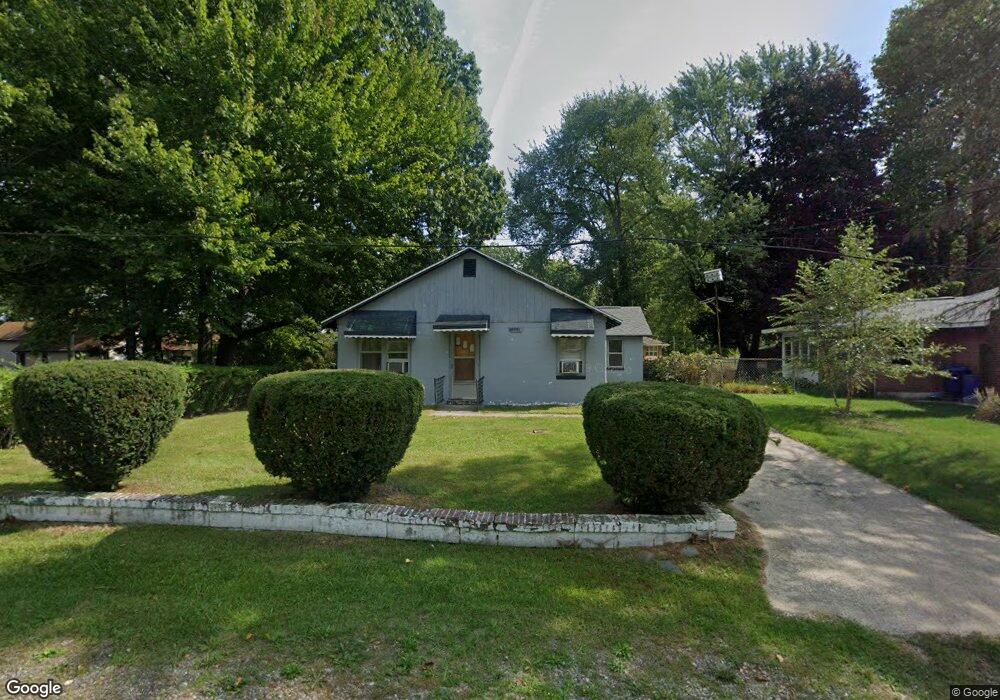
69081 Center St Paw Paw, MI 49079
Estimated Value: $178,970 - $460,000
--
Bed
--
Bath
1,220
Sq Ft
$230/Sq Ft
Est. Value
About This Home
This home is located at 69081 Center St, Paw Paw, MI 49079 and is currently estimated at $280,243, approximately $229 per square foot. 69081 Center St is a home located in Van Buren County with nearby schools including Paw Paw Early Elementary School, Paw Paw Later Elementary School, and Paw Paw Middle School.
Ownership History
Date
Name
Owned For
Owner Type
Purchase Details
Closed on
Sep 29, 2015
Sold by
Williams Annette and Williams Reggie
Bought by
Herron Jessie and Herron Brenda
Current Estimated Value
Home Financials for this Owner
Home Financials are based on the most recent Mortgage that was taken out on this home.
Original Mortgage
$83,000
Outstanding Balance
$65,370
Interest Rate
3.91%
Mortgage Type
New Conventional
Estimated Equity
$214,873
Purchase Details
Closed on
Mar 31, 2000
Sold by
Wilburn James W
Bought by
Herron Jesse and Herron Brenda
Purchase Details
Closed on
Jul 31, 1995
Sold by
Fifer Oliver B
Bought by
Wilburn James and Wilburn Georgia
Create a Home Valuation Report for This Property
The Home Valuation Report is an in-depth analysis detailing your home's value as well as a comparison with similar homes in the area
Home Values in the Area
Average Home Value in this Area
Purchase History
| Date | Buyer | Sale Price | Title Company |
|---|---|---|---|
| Herron Jessie | -- | Attorney | |
| Herron Jesse | $69,100 | -- | |
| Wilburn James | $48,200 | -- |
Source: Public Records
Mortgage History
| Date | Status | Borrower | Loan Amount |
|---|---|---|---|
| Open | Herron Jessie | $83,000 |
Source: Public Records
Tax History Compared to Growth
Tax History
| Year | Tax Paid | Tax Assessment Tax Assessment Total Assessment is a certain percentage of the fair market value that is determined by local assessors to be the total taxable value of land and additions on the property. | Land | Improvement |
|---|---|---|---|---|
| 2025 | $306 | $52,700 | $0 | $0 |
| 2024 | $306 | $59,100 | $0 | $0 |
| 2023 | $291 | $59,200 | $0 | $0 |
| 2022 | $1,418 | $25,900 | $0 | $0 |
| 2021 | $1,447 | $36,700 | $7,500 | $29,200 |
| 2020 | $1,383 | $35,100 | $7,500 | $27,600 |
| 2019 | $1,341 | $30,300 | $30,300 | $0 |
| 2018 | $1,313 | $34,400 | $34,400 | $0 |
| 2017 | $1,288 | $26,100 | $0 | $0 |
| 2016 | $1,277 | $26,200 | $0 | $0 |
| 2015 | $729 | $26,200 | $0 | $0 |
| 2014 | $726 | $24,169 | $0 | $0 |
| 2013 | -- | $24,200 | $24,200 | $0 |
Source: Public Records
Map
Nearby Homes
- 0 Palmer Dr
- 43834 Eagle Lake Dr
- 0 70th Ave
- 43618 Carla Dr
- 44850 Woodman Dr
- 77199 M-51
- 60846 N Lakeshore Dr
- Parcel A Territorial Rd
- 66598 Territorial Rd
- 58356 Cr 671
- 58797 Territorial Rd
- 73541 39th St
- 38126 72nd Ave Unit b
- 38126 72nd Ave
- 80660 42nd St
- 81480 42nd St
- 44702 B 56th Ave
- 00 Lakeview Dr
- TBD Greenbriar Terrace
- 310 Rogers St
- 69123 Center St
- 1 Center St
- 0 Center St
- 69074 Center St
- 69193 Center St
- 69138 Palmer Dr
- 69124 Center St
- 69016 Center St
- 68987 Eagle Dr
- 44086 South St
- 68974 Center St
- 68939 Palmer Dr
- 68991 Palmer Dr
- 69083 Palmer Dr
- 68913 Palmer Dr
- 69025 Palmer Dr
- 57 South St
- 69121 Palmer Dr
- 68926 Eagle Dr
- 44030 South St