6909 Landfill Rd Waynesboro, PA 17268
Estimated Value: $254,000 - $274,000
--
Bed
--
Bath
1,378
Sq Ft
$192/Sq Ft
Est. Value
About This Home
This home is located at 6909 Landfill Rd, Waynesboro, PA 17268 and is currently estimated at $264,746, approximately $192 per square foot. 6909 Landfill Rd is a home with nearby schools including Waynesboro Area Senior High School and Providence School - Pigeon Hill Building.
Ownership History
Date
Name
Owned For
Owner Type
Purchase Details
Closed on
Jan 19, 2018
Sold by
Rodgers Bryce and Pesanti Alan
Bought by
Sprecher Daniel J
Current Estimated Value
Home Financials for this Owner
Home Financials are based on the most recent Mortgage that was taken out on this home.
Original Mortgage
$158,083
Outstanding Balance
$133,164
Interest Rate
3.87%
Mortgage Type
FHA
Estimated Equity
$131,582
Purchase Details
Closed on
Aug 22, 2017
Sold by
Christopher Thomas H
Bought by
Rodgers Bryce and Pesanti Alan
Create a Home Valuation Report for This Property
The Home Valuation Report is an in-depth analysis detailing your home's value as well as a comparison with similar homes in the area
Home Values in the Area
Average Home Value in this Area
Purchase History
| Date | Buyer | Sale Price | Title Company |
|---|---|---|---|
| Sprecher Daniel J | $161,000 | None Available | |
| Rodgers Bryce | $40,000 | None Available |
Source: Public Records
Mortgage History
| Date | Status | Borrower | Loan Amount |
|---|---|---|---|
| Open | Sprecher Daniel J | $158,083 |
Source: Public Records
Tax History Compared to Growth
Tax History
| Year | Tax Paid | Tax Assessment Tax Assessment Total Assessment is a certain percentage of the fair market value that is determined by local assessors to be the total taxable value of land and additions on the property. | Land | Improvement |
|---|---|---|---|---|
| 2025 | $1,818 | $12,460 | $200 | $12,260 |
| 2024 | $1,762 | $12,460 | $200 | $12,260 |
| 2023 | $1,713 | $12,460 | $200 | $12,260 |
| 2022 | $1,664 | $12,460 | $200 | $12,260 |
| 2021 | $787 | $6,080 | $200 | $5,880 |
| 2020 | $787 | $6,080 | $200 | $5,880 |
| 2019 | $769 | $6,080 | $200 | $5,880 |
| 2018 | $743 | $6,080 | $200 | $5,880 |
| 2017 | $727 | $6,080 | $200 | $5,880 |
| 2016 | $174 | $6,080 | $200 | $5,880 |
| 2015 | $162 | $6,080 | $200 | $5,880 |
| 2014 | $162 | $6,080 | $200 | $5,880 |
Source: Public Records
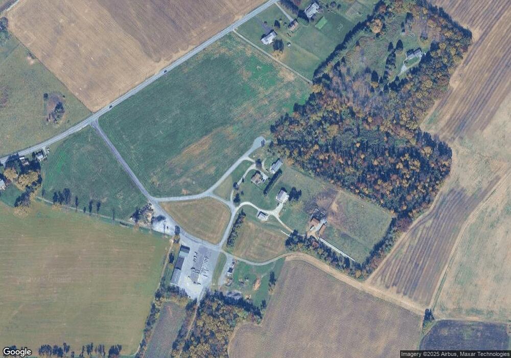
Map
Nearby Homes
- 7468 Anthony Hwy
- 286 Verdier St
- 8620 Monns Gap Rd
- 111 Poplar St
- 5434 Manheim Rd
- 6 S Main St
- 8652 Mormon Church Rd
- 6159 Orphanage Rd
- 7130 St Annes Dr
- 7205 Fairway Dr S
- 7059 Duck Hook Ln
- 7060 Duck Hook Ln
- 7136 Sandwich Ln
- 7121 Sandwich Ln
- 6158 Merion Dr
- 6852 Lytham Ln
- 7023 Saint Annes Dr
- 6337 Medina Ridge Dr
- 6396 Saucon Valley Dr
- 6456 Wayne Hwy
- 6933 Landfill Rd
- 6822 Slabtown Rd
- 7261 Slabtown Rd
- 6826 Slabtown Rd
- 6816 Slabtown Rd
- 6830 Slabtown Rd
- 6834 Slabtown Rd
- 6798 Slabtown Rd
- 6838 Slabtown Rd
- 6788 Slabtown Rd
- 6714 Slabtown Rd
- 6842 Slabtown Rd
- 6682 Slabtown Rd
- 6850 Slabtown Rd
- 8128 Tomstown Rd
- 6660 Slabtown Rd
- 6862 Slabtown Rd
- 6868 Slabtown Rd
- 6865 Slabtown Rd
- 6667 Slabtown Rd