6909 Maple St Stockwell, IN 47983
Stockwell NeighborhoodEstimated Value: $132,000 - $189,000
--
Bed
--
Bath
720
Sq Ft
$221/Sq Ft
Est. Value
About This Home
This home is located at 6909 Maple St, Stockwell, IN 47983 and is currently estimated at $159,040, approximately $220 per square foot. 6909 Maple St is a home with nearby schools including James Cole Elementary School, Wainwright Middle School, and McCutcheon High School.
Ownership History
Date
Name
Owned For
Owner Type
Purchase Details
Closed on
Jun 23, 2015
Sold by
Hammond Phillip L
Bought by
Hammond Willard D
Current Estimated Value
Home Financials for this Owner
Home Financials are based on the most recent Mortgage that was taken out on this home.
Original Mortgage
$50,600
Interest Rate
3.82%
Mortgage Type
New Conventional
Purchase Details
Closed on
Dec 2, 2009
Sold by
Miller Cynthia and Estate Of Mary Catherine Hammo
Bought by
Hammond Phillip L and Hammond Ada S
Home Financials for this Owner
Home Financials are based on the most recent Mortgage that was taken out on this home.
Original Mortgage
$49,542
Interest Rate
4.96%
Mortgage Type
VA
Create a Home Valuation Report for This Property
The Home Valuation Report is an in-depth analysis detailing your home's value as well as a comparison with similar homes in the area
Home Values in the Area
Average Home Value in this Area
Purchase History
| Date | Buyer | Sale Price | Title Company |
|---|---|---|---|
| Hammond Willard D | -- | -- | |
| Hammond Willard D | -- | -- | |
| Hammond Phillip L | -- | None Available |
Source: Public Records
Mortgage History
| Date | Status | Borrower | Loan Amount |
|---|---|---|---|
| Closed | Hammond Willard D | $50,600 | |
| Closed | Hammond Phillip L | $49,542 |
Source: Public Records
Tax History Compared to Growth
Tax History
| Year | Tax Paid | Tax Assessment Tax Assessment Total Assessment is a certain percentage of the fair market value that is determined by local assessors to be the total taxable value of land and additions on the property. | Land | Improvement |
|---|---|---|---|---|
| 2024 | $416 | $101,300 | $30,000 | $71,300 |
| 2023 | $409 | $99,000 | $30,000 | $69,000 |
| 2022 | $234 | $71,200 | $9,300 | $61,900 |
| 2021 | $210 | $63,800 | $9,300 | $54,500 |
| 2020 | $191 | $59,800 | $9,300 | $50,500 |
| 2019 | $191 | $58,600 | $9,300 | $49,300 |
| 2018 | $198 | $59,000 | $9,300 | $49,700 |
| 2017 | $205 | $59,300 | $9,300 | $50,000 |
| 2016 | $156 | $54,700 | $9,300 | $45,400 |
| 2014 | $750 | $52,800 | $9,300 | $43,500 |
| 2013 | $733 | $51,800 | $9,300 | $42,500 |
Source: Public Records
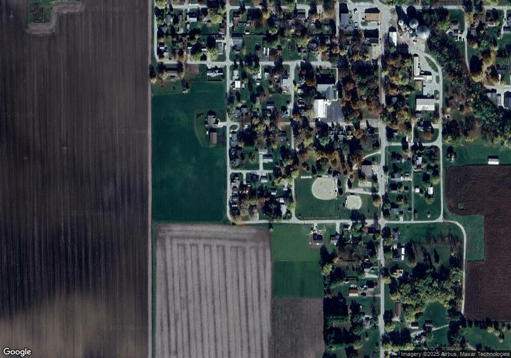
Map
Nearby Homes
- 9314 S 700 E
- 9205 Yorktown St
- 6943 Monroe St
- 7858 E 800 S
- 7926 US Highway 52 S
- 4927 E 900 Rd S
- 4875 E 900 Rd S
- 4851 E 900 Rd S
- 4801 E 900 Rd S
- 8631 Newcastle Rd
- 9305 Main St
- 3626 E 800 S
- 9609 White St
- 5760 S 800 E
- 11816 Orange St
- 9322 Main St
- 11818 Madison St
- 0 S 800 E Unit 202536919
- 6520 E 460 S
- 7660 Beth Ann Ln