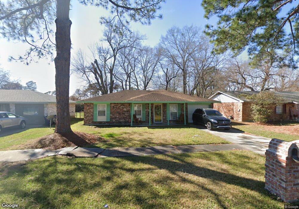
6909 Sutton Dr Baton Rouge, LA 70812
Merrydale NeighborhoodEstimated Value: $122,400 - $156,000
3
Beds
6
Baths
1,316
Sq Ft
$106/Sq Ft
Est. Value
About This Home
This home is located at 6909 Sutton Dr, Baton Rouge, LA 70812 and is currently estimated at $139,350, approximately $105 per square foot. 6909 Sutton Dr is a home located in East Baton Rouge Parish with nearby schools including Glen Oaks Park Elementary School, Glen Oaks Senior High School, and Celerity Lanier Charter School.
Ownership History
Date
Name
Owned For
Owner Type
Purchase Details
Closed on
Feb 5, 2009
Sold by
Carey Shangrila M
Bought by
Reed Paulisha
Current Estimated Value
Home Financials for this Owner
Home Financials are based on the most recent Mortgage that was taken out on this home.
Original Mortgage
$90,801
Outstanding Balance
$57,612
Interest Rate
5.17%
Mortgage Type
FHA
Estimated Equity
$81,738
Create a Home Valuation Report for This Property
The Home Valuation Report is an in-depth analysis detailing your home's value as well as a comparison with similar homes in the area
Home Values in the Area
Average Home Value in this Area
Purchase History
| Date | Buyer | Sale Price | Title Company |
|---|---|---|---|
| Reed Paulisha | $92,000 | -- |
Source: Public Records
Mortgage History
| Date | Status | Borrower | Loan Amount |
|---|---|---|---|
| Open | Reed Paulisha | $90,801 |
Source: Public Records
Tax History Compared to Growth
Tax History
| Year | Tax Paid | Tax Assessment Tax Assessment Total Assessment is a certain percentage of the fair market value that is determined by local assessors to be the total taxable value of land and additions on the property. | Land | Improvement |
|---|---|---|---|---|
| 2024 | $427 | $10,400 | $880 | $9,520 |
| 2023 | $427 | $10,400 | $880 | $9,520 |
| 2022 | $1,468 | $10,400 | $880 | $9,520 |
| 2021 | $1,445 | $10,400 | $880 | $9,520 |
| 2020 | $1,460 | $10,400 | $880 | $9,520 |
| 2019 | $1,374 | $9,450 | $800 | $8,650 |
| 2018 | $1,360 | $9,450 | $800 | $8,650 |
| 2017 | $1,360 | $9,450 | $800 | $8,650 |
| 2016 | $300 | $9,450 | $800 | $8,650 |
| 2015 | $269 | $9,200 | $800 | $8,400 |
| 2014 | $268 | $9,200 | $800 | $8,400 |
| 2013 | -- | $9,200 | $800 | $8,400 |
Source: Public Records
Map
Nearby Homes
- 6822 Oak Park Dr
- 7672 Sumrall Dr
- 6970 Coronet Dr
- 6868 Oak Glen Dr
- 7915 Mickens Rd
- 7925 Mickens Rd
- 6744 Dalark Dr
- 7153 Perimeter Dr
- 6411 Landis Dr
- 6131 Matthews St
- 6757 Myrtlewood Dr
- 6022 E Fairlane Ct
- 6032 Matthews St
- 5965 Denova St
- 6779 E Upland Ave
- 5912 Atlanta Ave
- 7057 Modesto Ave
- TBD Silverleaf Ave
- 5837 Denova St
- 6723 E Monarch Ave
- 6887 Sutton Dr
- 6921 Sutton Dr
- 6839 Sutton Dr
- 6935 Sutton Dr
- 6858 Oakside Dr
- 6922 Oakside Dr
- 6842 Oakside Dr
- 6936 Oakside Dr
- 6914 Sutton Dr
- 6944 Sutton Dr
- 6813 Sutton Dr
- 6878 Sutton Dr
- 7448 Sumrall Dr
- 6836 Oakside Dr
- 6966 Sutton Dr
- 6846 Sutton Dr
- 6948 Oakside Dr
- 6777 Sutton Dr
- 7524 Sumrall Dr
- 6818 Sutton Dr