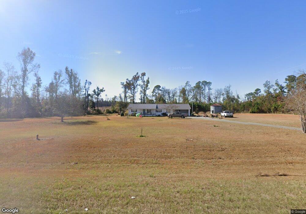
6909 Us Highway 441 N Broxton, GA 31519
Estimated Value: $141,000 - $345,000
--
Bed
1
Bath
2,045
Sq Ft
$106/Sq Ft
Est. Value
About This Home
This home is located at 6909 Us Highway 441 N, Broxton, GA 31519 and is currently estimated at $216,141, approximately $105 per square foot. 6909 Us Highway 441 N is a home located in Coffee County with nearby schools including Broxton-Mary Hayes Elementary School, Coffee Middle School, and Coffee County High School.
Ownership History
Date
Name
Owned For
Owner Type
Purchase Details
Closed on
Jan 31, 2017
Sold by
Fussell Sheila
Bought by
Farabow Jonathan Wyatt and Decosta Brittany Siobhan
Current Estimated Value
Home Financials for this Owner
Home Financials are based on the most recent Mortgage that was taken out on this home.
Original Mortgage
$121,106
Outstanding Balance
$100,029
Interest Rate
4.2%
Mortgage Type
Purchase Money Mortgage
Estimated Equity
$116,112
Purchase Details
Closed on
Jan 8, 2011
Sold by
Fussell Shelia and Collins Dexter S
Bought by
Fussell Shelia and Collins Dexter S
Create a Home Valuation Report for This Property
The Home Valuation Report is an in-depth analysis detailing your home's value as well as a comparison with similar homes in the area
Home Values in the Area
Average Home Value in this Area
Purchase History
| Date | Buyer | Sale Price | Title Company |
|---|---|---|---|
| Farabow Jonathan Wyatt | $105,000 | -- | |
| Fussell Shelia | -- | -- |
Source: Public Records
Mortgage History
| Date | Status | Borrower | Loan Amount |
|---|---|---|---|
| Open | Farabow Jonathan Wyatt | $121,106 |
Source: Public Records
Tax History Compared to Growth
Tax History
| Year | Tax Paid | Tax Assessment Tax Assessment Total Assessment is a certain percentage of the fair market value that is determined by local assessors to be the total taxable value of land and additions on the property. | Land | Improvement |
|---|---|---|---|---|
| 2024 | $1,020 | $46,473 | $12,665 | $33,808 |
| 2023 | $1,030 | $46,473 | $12,665 | $33,808 |
| 2022 | $1,128 | $46,473 | $12,665 | $33,808 |
| 2021 | $1,128 | $46,473 | $12,665 | $33,808 |
| 2020 | $1,129 | $46,473 | $12,665 | $33,808 |
| 2019 | $1,129 | $46,473 | $12,665 | $33,808 |
| 2018 | $1,020 | $46,633 | $12,665 | $33,968 |
| 2017 | $1,138 | $46,664 | $12,696 | $33,968 |
| 2016 | $1,139 | $46,664 | $12,696 | $33,968 |
| 2015 | $1,141 | $46,504 | $12,696 | $33,808 |
| 2014 | $1,146 | $46,504 | $12,696 | $33,808 |
Source: Public Records
Map
Nearby Homes
- 171 Sparrow Rd
- 699 Twin Lakes Dr
- 197 Mobley Bluff Rd
- 1020 Alabama St N
- 504 Miller Ave
- 441 U S 319
- 0 E River Rd Unit 1646569
- 0 E River Rd Unit 20927603
- 0 E River Rd Unit 154466
- 0 E River Rd Unit 10297440
- 0 E River Rd Unit 20291894
- 126 Oscar Patton Estates
- 57 E Dogwood Dr
- 744 Lotts Crossing
- 00 W River Rd
- 4653 Douglas Braxton Hwy
- 407 Broxton West Green Hwy
- 279 W H Smith Rd
- 5495 Cross Rd
- 00 Ambrose Rd
- 7035 Us Highway 441 N
- 7035 Us Highway 441 N
- 35 Sapp Still Rd
- 7048 Us Highway 441 N
- 55 Sapp Still Rd
- 7095 Us Highway 441 N
- 7099 Us Highway 441 N
- 7094 N U S Hwy 441
- 7094 U S 441
- 7094 Us Highway 441 N
- 91 Sapp Still Rd
- 7150 Us Highway 441 N
- 1670 Ernest Pridgen Rd
- 6173 Us Highway 441 N
- 5613 Us Highway 441 N
- 1508 Arley Solomon Rd
- 1370 Arley Solomon Rd
- 1390 Ernest Pridgen Rd
- 1390 Ernest Pridgen Rd