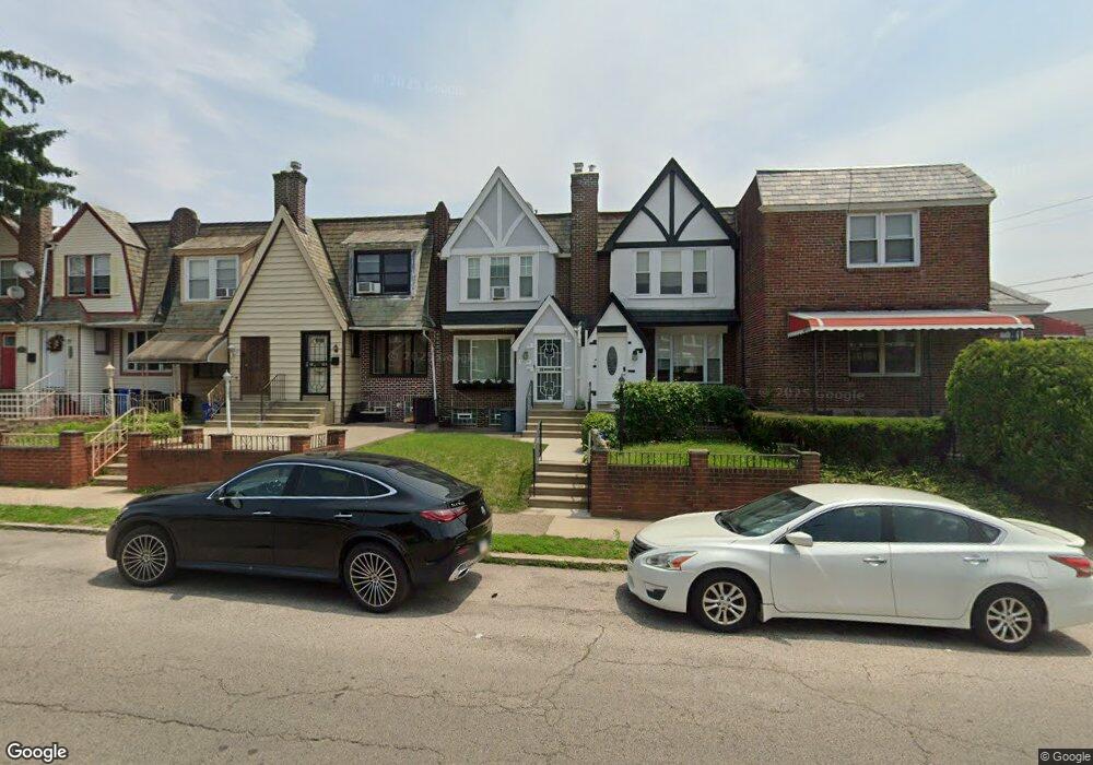
6909 Wister St Philadelphia, PA 19138
West Oak Lane NeighborhoodEstimated Value: $196,045 - $268,000
3
Beds
1
Bath
1,136
Sq Ft
$200/Sq Ft
Est. Value
About This Home
This home is located at 6909 Wister St, Philadelphia, PA 19138 and is currently estimated at $227,761, approximately $200 per square foot. 6909 Wister St is a home located in Philadelphia County with nearby schools including William Rowen School, Gen. Louis Wagner Middle School, and Martin Luther King High School.
Ownership History
Date
Name
Owned For
Owner Type
Purchase Details
Closed on
May 28, 1999
Sold by
Resources For Human Development Inc
Bought by
Miller Eunice L
Current Estimated Value
Purchase Details
Closed on
Sep 16, 1998
Sold by
Hud
Bought by
Resources For Human Development Inc
Purchase Details
Closed on
Dec 18, 1997
Sold by
Gmac Mtg Corp
Bought by
Hud
Purchase Details
Closed on
Nov 27, 1997
Sold by
Love Kenneth A and Love Debra
Bought by
Gmac Mtg Corp
Create a Home Valuation Report for This Property
The Home Valuation Report is an in-depth analysis detailing your home's value as well as a comparison with similar homes in the area
Home Values in the Area
Average Home Value in this Area
Purchase History
| Date | Buyer | Sale Price | Title Company |
|---|---|---|---|
| Miller Eunice L | $58,000 | -- | |
| Resources For Human Development Inc | $26,910 | -- | |
| Hud | -- | -- | |
| Gmac Mtg Corp | $10,000 | -- |
Source: Public Records
Tax History Compared to Growth
Tax History
| Year | Tax Paid | Tax Assessment Tax Assessment Total Assessment is a certain percentage of the fair market value that is determined by local assessors to be the total taxable value of land and additions on the property. | Land | Improvement |
|---|---|---|---|---|
| 2025 | $2,144 | $189,100 | $37,820 | $151,280 |
| 2024 | $2,144 | $189,100 | $37,820 | $151,280 |
| 2023 | $2,144 | $153,200 | $30,640 | $122,560 |
| 2022 | $957 | $108,200 | $30,640 | $77,560 |
| 2021 | $1,587 | $0 | $0 | $0 |
| 2020 | $1,587 | $0 | $0 | $0 |
| 2019 | $1,657 | $0 | $0 | $0 |
| 2018 | $1,494 | $0 | $0 | $0 |
| 2017 | $1,494 | $0 | $0 | $0 |
| 2016 | $1,074 | $0 | $0 | $0 |
| 2015 | $1,028 | $0 | $0 | $0 |
| 2014 | -- | $106,700 | $9,504 | $97,196 |
| 2012 | -- | $14,272 | $2,473 | $11,799 |
Source: Public Records
Map
Nearby Homes
- 6332 E Wister St
- 6824 Rodney St
- 6620 Cornelius St
- 6635 Hollis St
- 6661 Cornelius St
- 2152 Stenton Ave
- 2070 E Haines St
- 2061 Independence St
- 2120 66th Ave
- 2125 Stenton Ave
- 6603 N 21st St
- 1521 E Walnut Ln
- 1344 Narragansett St
- 2115 Stenton Ave
- 2105 Stenton Ave
- 6531 N Beechwood St
- 1544 Beverly Rd
- 6733 N Woodstock St
- 1537 Beverly Rd
- 6731 N Woodstock St
- 6911 Wister St
- 6907 Wister St
- 6913 Wister St
- 6905 Wister St
- 6915 Wister St
- 6917 Wister St
- 6919 Wister St
- 6921 Wister St
- 6923 Wister St
- 6925 Wister St
- 6927 Wister St
- 6313 E Wister St
- 6914 Wister St
- 6912 Wister St
- 6916 Wister St
- 6910 Wister St
- 6918 Wister St
- 6920 Wister St
- 6908 Wister St
- 6929 Wister St