Estimated Value: $509,000 - $642,000
3
Beds
3
Baths
3,080
Sq Ft
$193/Sq Ft
Est. Value
About This Home
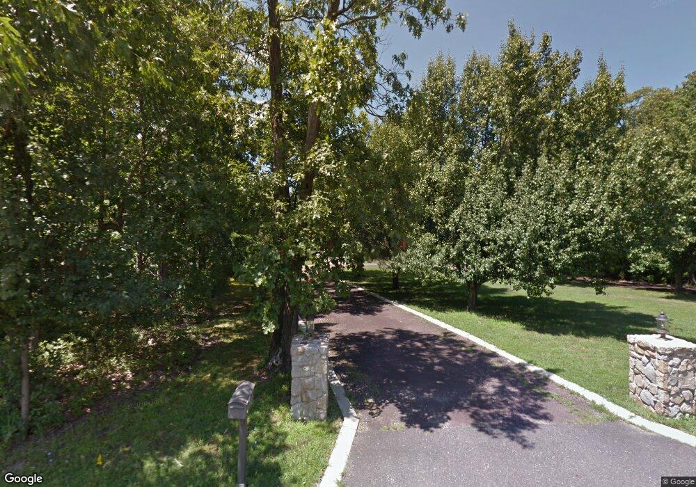
This home is located at 691 Buck Rd, Elmer, NJ 08318 and is currently estimated at $595,576, approximately $193 per square foot. 691 Buck Rd is a home located in Salem County with nearby schools including Elmer Elementary School, Pittsgrove Township Middle School, and Arthur P. Schalick High School.
Ownership History
Date
Name
Owned For
Owner Type
Purchase Details
Closed on
Jun 12, 2020
Sold by
Reoch Paul Allen
Bought by
Bittle Charles D and Bittle Melissa J
Current Estimated Value
Purchase Details
Closed on
Mar 11, 2011
Sold by
Tuller Christine M
Bought by
Bittle Melissa June and Bittle Charles Dennis
Home Financials for this Owner
Home Financials are based on the most recent Mortgage that was taken out on this home.
Original Mortgage
$280,000
Interest Rate
4.84%
Mortgage Type
VA
Purchase Details
Closed on
Mar 18, 2008
Sold by
Tuller James A
Bought by
Tuller Christine M
Purchase Details
Closed on
Aug 17, 1994
Sold by
Beckel Sharyn M
Bought by
Tuller James A and Tuller Christine M
Purchase Details
Closed on
Aug 9, 1994
Sold by
Beckel Cletus E and Beckel Sharyn M
Bought by
Beckel Sharyn M
Create a Home Valuation Report for This Property
The Home Valuation Report is an in-depth analysis detailing your home's value as well as a comparison with similar homes in the area
Home Values in the Area
Average Home Value in this Area
Purchase History
| Date | Buyer | Sale Price | Title Company |
|---|---|---|---|
| Bittle Charles D | $20,000 | Dominion Ttl Svcs Bridgeton | |
| Bittle Melissa June | $280,000 | -- | |
| Tuller Christine M | -- | -- | |
| Tuller James A | $22,000 | -- | |
| Beckel Sharyn M | -- | -- |
Source: Public Records
Mortgage History
| Date | Status | Borrower | Loan Amount |
|---|---|---|---|
| Previous Owner | Bittle Melissa June | $280,000 |
Source: Public Records
Tax History Compared to Growth
Tax History
| Year | Tax Paid | Tax Assessment Tax Assessment Total Assessment is a certain percentage of the fair market value that is determined by local assessors to be the total taxable value of land and additions on the property. | Land | Improvement |
|---|---|---|---|---|
| 2025 | $14,281 | $343,600 | $69,700 | $273,900 |
| 2024 | $12,413 | $343,600 | $69,700 | $273,900 |
| 2023 | $12,413 | $316,100 | $69,700 | $246,400 |
| 2022 | $11,667 | $301,000 | $69,700 | $231,300 |
| 2021 | $10,167 | $301,000 | $69,700 | $231,300 |
| 2020 | $10,328 | $276,000 | $44,700 | $231,300 |
| 2019 | $10,151 | $276,000 | $44,700 | $231,300 |
| 2018 | $9,925 | $276,000 | $44,700 | $231,300 |
| 2017 | $9,547 | $276,000 | $44,700 | $231,300 |
| 2016 | $9,058 | $276,000 | $44,700 | $231,300 |
| 2015 | $8,619 | $276,000 | $44,700 | $231,300 |
| 2014 | $9,003 | $300,800 | $44,700 | $256,100 |
Source: Public Records
Map
Nearby Homes
- 0 00011 010 Mckishen Rd
- 0 00011 09 Mckishen Rd
- 0 Mckishen Rd
- 0 00011 05 Mckishen Rd
- 0 00011 08 Mckishen Rd
- 0 00011 07 Mckishen Rd
- 0 00011 04 Lawrence Corner Rd
- 0 00011 03 Lawrence Corner Rd
- 0 00011 02 Lawrence Corner Rd
- 1088 Lakewood Place
- 138 Upper Neck Rd
- 1102 Swans Way
- 617 Lower Mill Rd
- 520 S Main St
- 34 Oaklyn Terrace
- 51 Laurel Ave
- 315 S Main St
- 95 Park Ave
- 217 S Main St
- 211 213 S Main St