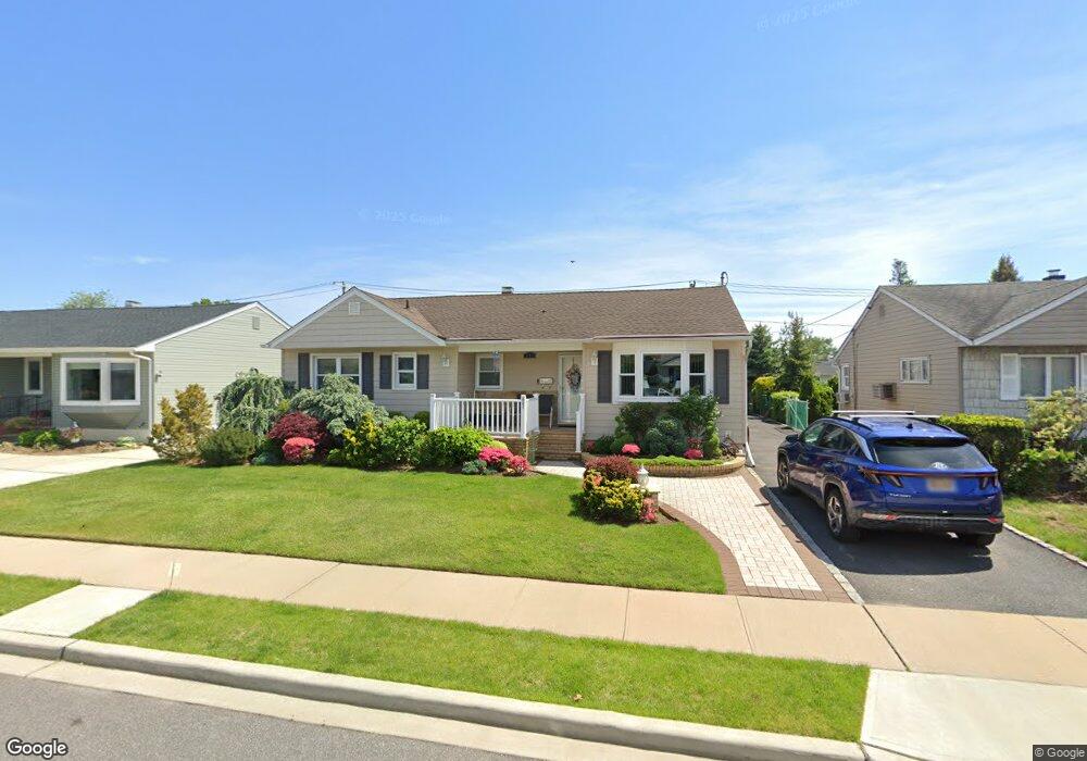
691 Byron Ave Franklin Square, NY 11010
Estimated Value: $852,549 - $885,000
3
Beds
3
Baths
1,596
Sq Ft
$544/Sq Ft
Est. Value
About This Home
This home is located at 691 Byron Ave, Franklin Square, NY 11010 and is currently estimated at $868,775, approximately $544 per square foot. 691 Byron Ave is a home located in Nassau County with nearby schools including Hebrew Academy of Nassau County (HANC).
Ownership History
Date
Name
Owned For
Owner Type
Purchase Details
Closed on
Jul 25, 2025
Sold by
Wilensky Jane E
Bought by
Torres Deborah
Current Estimated Value
Purchase Details
Closed on
Oct 17, 2016
Sold by
Wilensky Leonard S and Wilensky Jane E
Bought by
Torres Deborah and Wilensky Family 2016 Irrevocable Trust
Purchase Details
Closed on
Apr 18, 2014
Sold by
Cjj Holding Corporation
Bought by
Wilensky Leonard S and Wilensky Jane E
Purchase Details
Closed on
Sep 4, 2013
Sold by
Tunstall Mary and The Estate Of Francis H Schlichtig
Bought by
Cjj Holding
Create a Home Valuation Report for This Property
The Home Valuation Report is an in-depth analysis detailing your home's value as well as a comparison with similar homes in the area
Home Values in the Area
Average Home Value in this Area
Purchase History
| Date | Buyer | Sale Price | Title Company |
|---|---|---|---|
| Torres Deborah | -- | None Available | |
| Torres Deborah | -- | None Available | |
| Torres Deborah | -- | None Available | |
| Torres Deborah | -- | None Available | |
| Wilensky Leonard S | $525,000 | Fidelity Nationa Title Ins | |
| Wilensky Leonard S | $525,000 | Fidelity Nationa Title Ins | |
| Wilensky Leonard S | $525,000 | Fidelity Nationa Title Ins | |
| Cjj Holding | $310,000 | -- | |
| Cjj Holding | $310,000 | -- | |
| Cjj Holding | $310,000 | -- |
Source: Public Records
Tax History Compared to Growth
Tax History
| Year | Tax Paid | Tax Assessment Tax Assessment Total Assessment is a certain percentage of the fair market value that is determined by local assessors to be the total taxable value of land and additions on the property. | Land | Improvement |
|---|---|---|---|---|
| 2025 | $11,265 | $532 | $200 | $332 |
| 2024 | $3,787 | $543 | $204 | $339 |
| 2023 | $10,241 | $569 | $214 | $355 |
| 2022 | $10,241 | $569 | $214 | $355 |
| 2021 | $12,434 | $589 | $212 | $377 |
| 2020 | $10,023 | $735 | $505 | $230 |
| 2019 | $3,468 | $788 | $439 | $349 |
| 2018 | $4,127 | $840 | $0 | $0 |
| 2017 | $6,766 | $893 | $503 | $390 |
| 2016 | $10,970 | $945 | $532 | $413 |
| 2015 | $4,981 | $961 | $541 | $420 |
| 2014 | $4,981 | $961 | $541 | $420 |
| 2013 | $4,218 | $961 | $541 | $420 |
Source: Public Records
Map
Nearby Homes
- 708 Anderson Ave
- 600 Dogwood Ave
- 791 Caryl St
- 816 Anderson Ave
- 726 Meisser St
- 850 First Ave
- 865 Third Ave
- 757 Marion St
- 911 First Ave
- 993 Ferngate Dr
- 518 Nassau Blvd
- 422 Saint Agnes Place
- 576 Western Park Dr
- 807 Cypress Dr
- 722 Palmetto Dr
- 771 Maple Place
- 1053 Lorraine Dr
- 1048 Windermere Rd
- 818 Palmetto Dr
- 350 Paul Place
- 685 Byron Ave
- 690 Anderson Ave
- 696 Anderson Ave
- 679 Byron Ave
- 684 Anderson Ave
- 702 Anderson Ave
- 690 Byron Ave
- 684 Byron Ave
- 678 Anderson Ave
- 709 Byron Ave
- 702 Byron Ave
- 673 Byron Ave
- 678 Byron Ave
- 620 Smith St
- 708 Byron Ave
- 672 Anderson Ave
- 715 Byron Ave
- 714 Anderson Ave
- 691 Morton Ave
- 695 Anderson Ave