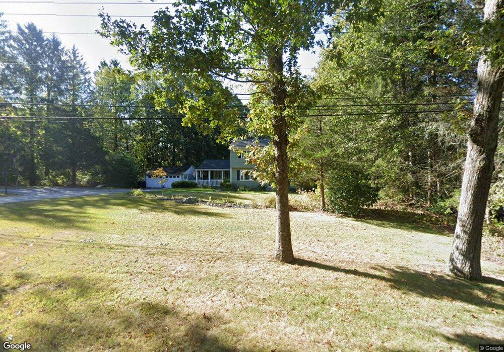
691 Colonel Ledyard Hwy Ledyard, CT 06339
Estimated Value: $382,000 - $452,000
3
Beds
6
Baths
1,782
Sq Ft
$239/Sq Ft
Est. Value
About This Home
This home is located at 691 Colonel Ledyard Hwy, Ledyard, CT 06339 and is currently estimated at $425,762, approximately $238 per square foot. 691 Colonel Ledyard Hwy is a home located in New London County with nearby schools including Ledyard Middle School and Ledyard High School.
Ownership History
Date
Name
Owned For
Owner Type
Purchase Details
Closed on
Sep 18, 2009
Sold by
Us Bk
Bought by
Farris Melody L and Farris Bradley S
Current Estimated Value
Home Financials for this Owner
Home Financials are based on the most recent Mortgage that was taken out on this home.
Original Mortgage
$193,400
Interest Rate
5.28%
Purchase Details
Closed on
May 6, 2009
Sold by
Larcher Nancy E
Bought by
Us Bank Na Tr
Purchase Details
Closed on
Jan 3, 2006
Sold by
Mazzella Anthony
Bought by
Larcher Nancy E
Home Financials for this Owner
Home Financials are based on the most recent Mortgage that was taken out on this home.
Original Mortgage
$222,400
Interest Rate
6.39%
Purchase Details
Closed on
Dec 16, 2002
Sold by
Gale Lauren Est
Bought by
Mazzella Anthony
Purchase Details
Closed on
Sep 20, 2000
Sold by
Oneal Mark and Oneal Gayle
Bought by
Miles Joseph
Create a Home Valuation Report for This Property
The Home Valuation Report is an in-depth analysis detailing your home's value as well as a comparison with similar homes in the area
Home Values in the Area
Average Home Value in this Area
Purchase History
| Date | Buyer | Sale Price | Title Company |
|---|---|---|---|
| Farris Melody L | $197,000 | -- | |
| Us Bank Na Tr | -- | -- | |
| Larcher Nancy E | $278,000 | -- | |
| Mazzella Anthony | $107,500 | -- | |
| Miles Joseph | $183,000 | -- |
Source: Public Records
Mortgage History
| Date | Status | Borrower | Loan Amount |
|---|---|---|---|
| Closed | Miles Joseph | $181,250 | |
| Closed | Miles Joseph | $193,400 | |
| Previous Owner | Miles Joseph | $222,400 |
Source: Public Records
Tax History Compared to Growth
Tax History
| Year | Tax Paid | Tax Assessment Tax Assessment Total Assessment is a certain percentage of the fair market value that is determined by local assessors to be the total taxable value of land and additions on the property. | Land | Improvement |
|---|---|---|---|---|
| 2025 | $5,691 | $153,230 | $49,770 | $103,460 |
| 2024 | $5,378 | $152,740 | $49,770 | $102,970 |
| 2023 | $5,279 | $152,740 | $49,770 | $102,970 |
| 2022 | $5,166 | $152,740 | $49,770 | $102,970 |
| 2021 | $5,132 | $152,740 | $49,770 | $102,970 |
| 2020 | $4,727 | $135,170 | $47,320 | $87,850 |
| 2019 | $4,739 | $135,170 | $47,320 | $87,850 |
| 2018 | $4,635 | $135,170 | $47,320 | $87,850 |
| 2017 | $4,398 | $135,170 | $47,320 | $87,850 |
| 2016 | $4,312 | $135,170 | $47,320 | $87,850 |
| 2015 | $4,109 | $135,170 | $47,320 | $87,850 |
| 2014 | $4,251 | $142,170 | $49,770 | $92,400 |
Source: Public Records
Map
Nearby Homes
- 675 Colonel Ledyard Hwy
- 19 Center Dr
- 105 Spicer Hill Rd
- 7 Chidley Way
- 134 Iron St
- 155 Iron St
- 528 Colonel Ledyard Hwy
- 31 Seabury Ave
- 5 Sachem Ln
- 9 Reservoir View
- 25 Old Colony Ln
- 39 Ash Dr Unit 9
- 148 Gallup Hill Rd
- 11 Wicklow Turn
- 17 Autumn Way
- 7 Captain Amos Stanton Dr
- 452 Colonel Ledyard Hwy
- 12 Cartridge Trail
- 20 Lakeside Dr Unit P
- 113 Meeting House Ln
- 695 Colonel Ledyard Hwy
- 2 Wolf Ridge Gap
- 687 Colonel Ledyard Hwy
- 2 Fairway Dr
- 1 Wolf Ridge Gap
- 699 Colonel Ledyard Hwy
- 690 Colonel Ledyard Hwy
- 3 Wolf Ridge Gap
- 683 Colonel Ledyard Hwy
- 686 Colonel Ledyard Hwy
- 4 Wolf Ridge Gap
- 4 Fairway Dr
- 682 Colonel Ledyard Hwy
- 5 Wolf Ridge Gap
- 7 Wolf Ridge Gap
- 679 Colonel Ledyard Hwy
- 16 Center Dr
- 4 Colby Dr
- 10 Center Dr
- 12 Center Dr