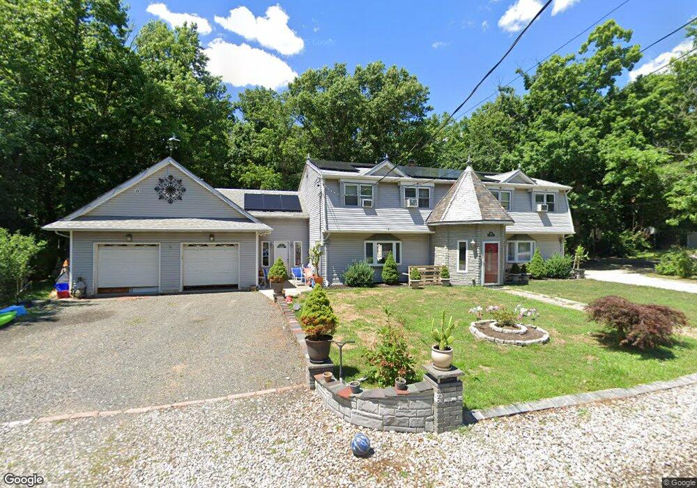
691 Cook Ave Unit 691B South Amboy, NJ 08879
Estimated Value: $567,000 - $754,887
3
Beds
1
Bath
3,214
Sq Ft
$207/Sq Ft
Est. Value
About This Home
This home is located at 691 Cook Ave Unit 691B, South Amboy, NJ 08879 and is currently estimated at $665,472, approximately $207 per square foot. 691 Cook Ave Unit 691B is a home located in Middlesex County with nearby schools including Old Bridge High School, Matawan Montessori Academy, and Icob Academy.
Ownership History
Date
Name
Owned For
Owner Type
Purchase Details
Closed on
Mar 26, 2021
Sold by
Turek Pawel and Turek Alicja
Bought by
Turek Pawel and Turek Alicja
Current Estimated Value
Home Financials for this Owner
Home Financials are based on the most recent Mortgage that was taken out on this home.
Original Mortgage
$427,000
Outstanding Balance
$390,673
Interest Rate
3.87%
Mortgage Type
New Conventional
Estimated Equity
$274,800
Purchase Details
Closed on
Aug 25, 2004
Sold by
Hamadyk Barry
Bought by
Levine Darin and Levine Joanna Regner
Home Financials for this Owner
Home Financials are based on the most recent Mortgage that was taken out on this home.
Original Mortgage
$244,000
Interest Rate
6.08%
Create a Home Valuation Report for This Property
The Home Valuation Report is an in-depth analysis detailing your home's value as well as a comparison with similar homes in the area
Home Values in the Area
Average Home Value in this Area
Purchase History
| Date | Buyer | Sale Price | Title Company |
|---|---|---|---|
| Turek Pawel | -- | New Title Company Name | |
| Turek Pawel | -- | New Title Company Name | |
| Levine Darin | $305,000 | -- |
Source: Public Records
Mortgage History
| Date | Status | Borrower | Loan Amount |
|---|---|---|---|
| Open | Turek Pawel | $427,000 | |
| Closed | Turek Pawel | $427,000 | |
| Previous Owner | Levine Darin | $244,000 |
Source: Public Records
Tax History Compared to Growth
Tax History
| Year | Tax Paid | Tax Assessment Tax Assessment Total Assessment is a certain percentage of the fair market value that is determined by local assessors to be the total taxable value of land and additions on the property. | Land | Improvement |
|---|---|---|---|---|
| 2025 | $11,160 | $194,800 | $50,500 | $144,300 |
| 2024 | $10,702 | $194,800 | $50,500 | $144,300 |
| 2023 | $10,702 | $194,800 | $50,500 | $144,300 |
| 2022 | $10,414 | $194,800 | $50,500 | $144,300 |
| 2021 | $7,635 | $194,800 | $50,500 | $144,300 |
| 2020 | $10,098 | $194,800 | $50,500 | $144,300 |
| 2019 | $9,937 | $194,800 | $50,500 | $144,300 |
| 2018 | $9,826 | $194,800 | $50,500 | $144,300 |
| 2017 | $9,520 | $194,800 | $50,500 | $144,300 |
| 2016 | $9,331 | $194,800 | $50,500 | $144,300 |
| 2015 | $9,167 | $194,800 | $50,500 | $144,300 |
| 2014 | $9,056 | $194,800 | $50,500 | $144,300 |
Source: Public Records
Map
Nearby Homes
- 310 Woodland Ave
- 429 Lea Ave
- 737 Prospect Ave
- 243 Alpine Way
- 438 Brookside Ave
- 239 Alpine Way
- 169 Norwood Ave
- 615 Greenwood Ave
- 940 Grove Ave
- 146 Orchard Ave
- 250 Brookside Ave
- 281 Prospect Ave
- 16 Harbor Bay Cir
- 21 Lantana Way
- 301 Shoreland Cir
- 809 Summerfield Ave
- 110 Summerfield Ave
- 235 Garfield Ave
- 9 Picaron Place Unit 46
- 238 Shoreland Cir
- 691 Cook Ave
- 693 Cook Ave
- 643 Cook Ave
- 643 Cook Ave Unit 1
- 640 Cook Ave
- 416 Maurer Ave
- 804 Charles St
- 802 Charles St
- 637 Cook Ave
- 728 Charles St
- 730 Charles St
- 732 Charles St
- 655 Woodland Ave
- 656 Woodland Ave
- 652 Woodland Ave
- 658 Woodland Ave
- 783 Charles St
- 797 Charles St
- 648 Woodland Ave
- 663 Woodland Ave