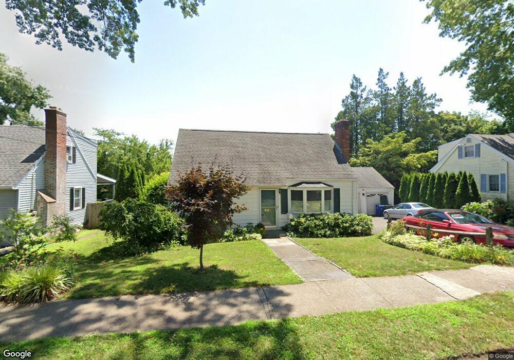
691 Garfield Ave Bridgeport, CT 06606
Brooklawn-Saint Vincent NeighborhoodEstimated Value: $319,000 - $407,000
3
Beds
1
Bath
1,152
Sq Ft
$327/Sq Ft
Est. Value
About This Home
This home is located at 691 Garfield Ave, Bridgeport, CT 06606 and is currently estimated at $377,015, approximately $327 per square foot. 691 Garfield Ave is a home located in Fairfield County with nearby schools including Madison School, Central High School, and Catholic Academy of Bridgeport-St. Raphael Academy.
Ownership History
Date
Name
Owned For
Owner Type
Purchase Details
Closed on
Aug 28, 2013
Sold by
Brooklawn Condo Assn
Bought by
Mastroianni John
Current Estimated Value
Purchase Details
Closed on
Jan 11, 2005
Sold by
Martine Viola
Bought by
Mastrioanni John
Home Financials for this Owner
Home Financials are based on the most recent Mortgage that was taken out on this home.
Original Mortgage
$116,250
Interest Rate
5.75%
Mortgage Type
Purchase Money Mortgage
Create a Home Valuation Report for This Property
The Home Valuation Report is an in-depth analysis detailing your home's value as well as a comparison with similar homes in the area
Home Values in the Area
Average Home Value in this Area
Purchase History
| Date | Buyer | Sale Price | Title Company |
|---|---|---|---|
| Mastroianni John | $81,500 | -- | |
| Mastroianni John | $81,500 | -- | |
| Mastrioanni John | $175,000 | -- | |
| Mastrioanni John | $175,000 | -- |
Source: Public Records
Mortgage History
| Date | Status | Borrower | Loan Amount |
|---|---|---|---|
| Previous Owner | Mastrioanni John | $116,250 |
Source: Public Records
Tax History Compared to Growth
Tax History
| Year | Tax Paid | Tax Assessment Tax Assessment Total Assessment is a certain percentage of the fair market value that is determined by local assessors to be the total taxable value of land and additions on the property. | Land | Improvement |
|---|---|---|---|---|
| 2025 | $6,931 | $159,520 | $80,510 | $79,010 |
| 2024 | $6,931 | $159,520 | $80,510 | $79,010 |
| 2023 | $6,931 | $159,520 | $80,510 | $79,010 |
| 2022 | $6,931 | $159,520 | $80,510 | $79,010 |
| 2021 | $6,931 | $159,520 | $80,510 | $79,010 |
| 2020 | $6,769 | $125,380 | $48,780 | $76,600 |
| 2019 | $6,769 | $125,380 | $48,780 | $76,600 |
| 2018 | $6,817 | $125,380 | $48,780 | $76,600 |
| 2017 | $6,817 | $125,380 | $48,780 | $76,600 |
| 2016 | $6,817 | $125,380 | $48,780 | $76,600 |
| 2015 | $6,293 | $149,120 | $54,130 | $94,990 |
| 2014 | $6,293 | $149,120 | $54,130 | $94,990 |
Source: Public Records
Map
Nearby Homes
- 201 High Ridge Dr
- 412 Jackson Ave
- 45 Sampson St
- 2445 Park Ave Unit 23
- 125 Alexander Dr
- 125 Sampson St
- 76 Suburban Ave
- 2625 Park Ave Unit 14N
- 2625 Park Ave Unit 10F
- 2625 Park Ave Unit PHB
- 33 Jackson Ave Unit 35
- 137 Holroyd St
- 11 Myron Ave
- 241 Sampson St
- 31 Taft Ave
- 2675 Park Ave Unit 3
- 2675 Park Ave Unit 22
- 97 Calvin Ave
- 1213 Wood Ave
- 119 Madison Terrace
- 705 Garfield Ave
- 677 Garfield Ave
- 1194 Capitol Ave
- 1184 Capitol Ave
- 1174 Capitol Ave
- 1214 Capitol Ave
- 721 Garfield Ave
- 688 Garfield Ave
- 704 Garfield Ave
- 1168 Capitol Ave
- 674 Garfield Ave
- 720 Garfield Ave
- 653 Garfield Ave
- 1224 Capitol Ave
- 1156 Capitol Ave
- 1185 Capitol Ave
- 1234 Capitol Ave
- 695 Lincoln Ave
- 730 Garfield Ave