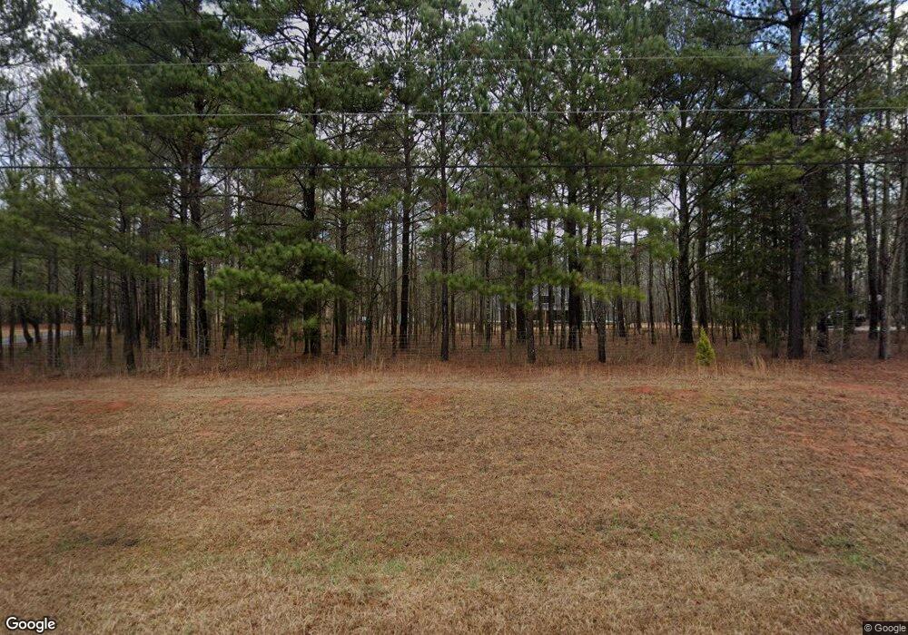
691 Jim Daws Rd Monroe, GA 30656
Estimated Value: $663,287 - $991,000
--
Bed
--
Bath
3,158
Sq Ft
$245/Sq Ft
Est. Value
About This Home
This home is located at 691 Jim Daws Rd, Monroe, GA 30656 and is currently estimated at $774,429, approximately $245 per square foot. 691 Jim Daws Rd is a home with nearby schools including Monroe Elementary School, Carver Middle School, and Monroe Area High School.
Ownership History
Date
Name
Owned For
Owner Type
Purchase Details
Closed on
Mar 10, 2020
Sold by
Jackson & Jojo Llc
Bought by
Towe Avery S and Towe Kerry A
Current Estimated Value
Purchase Details
Closed on
Feb 12, 2020
Sold by
Jackson & Jojo Llc
Bought by
Brown William
Purchase Details
Closed on
Jan 30, 2020
Sold by
Jackson & Jojo Llc
Bought by
Warren Merrell Anthony and Warren Debra W
Purchase Details
Closed on
Jan 29, 2019
Sold by
James L And Cynthia Malcom Living Trust
Bought by
Jackson & Jojo Llc
Purchase Details
Closed on
Mar 19, 2018
Sold by
James Malcom
Bought by
James Malcom
Purchase Details
Closed on
Jan 16, 2015
Sold by
Odum Carolyn Elaine
Bought by
Odom Odum Carolyn Elaine and Odom Ozment Betsy
Purchase Details
Closed on
Jun 1, 2014
Sold by
Stephens Malcom Velma
Bought by
Odom Elaine Malcom and Malcom James L
Create a Home Valuation Report for This Property
The Home Valuation Report is an in-depth analysis detailing your home's value as well as a comparison with similar homes in the area
Home Values in the Area
Average Home Value in this Area
Purchase History
| Date | Buyer | Sale Price | Title Company |
|---|---|---|---|
| Towe Avery S | $110,000 | -- | |
| Brown William | $110,000 | -- | |
| Warren Merrell Anthony | $112,500 | -- | |
| Jackson & Jojo Llc | -- | -- | |
| Jackson & Jojo Llc | $221,000 | -- | |
| James Malcom | -- | -- | |
| Odom Odum Carolyn Elaine | -- | -- | |
| Odom Elaine Malcom | -- | -- |
Source: Public Records
Tax History Compared to Growth
Tax History
| Year | Tax Paid | Tax Assessment Tax Assessment Total Assessment is a certain percentage of the fair market value that is determined by local assessors to be the total taxable value of land and additions on the property. | Land | Improvement |
|---|---|---|---|---|
| 2024 | $5,800 | $219,320 | $64,640 | $154,680 |
| 2023 | $5,348 | $211,080 | $61,520 | $149,560 |
| 2022 | $5,817 | $196,360 | $57,560 | $138,800 |
| 2021 | $5,298 | $165,200 | $44,760 | $120,440 |
| 2020 | $2,527 | $75,640 | $75,640 | $0 |
| 2019 | $2,325 | $56,000 | $56,000 | $0 |
| 2018 | $1,873 | $56,000 | $56,000 | $0 |
| 2017 | $1,789 | $51,920 | $51,920 | $0 |
| 2016 | $1,425 | $41,960 | $41,960 | $0 |
| 2015 | $1,448 | $41,960 | $41,960 | $0 |
| 2014 | $1,364 | $38,560 | $0 | $0 |
Source: Public Records
Map
Nearby Homes
- 216 Saddle Creek Dr
- 440 Mount Vernon Rd NW
- 2500 Old Athens Hwy
- 304 Thoroughbred Trail
- 1230 Old Athens Hwy
- 0 Georgia 83 Hwy Unit 10648356
- 0 Unisia Dr
- 0 Unisia Dr Unit 10637468
- 1600 Beagle Run NW
- 1186 Emmas Path
- 885 Cattle Barn Rd
- 908 Fawnfield Dr
- 918 Creekside Way
- 0 Hearn Rd NW Unit 10647785
- 2021 Windfield Dr
- 1740 Gratis Rd
- 1412 Palmer Dr
- 3510 Windfield Terrace
- 705 River Rock Ct
- 1230 Good Hope Rd
- 2034 Wall Rd
- 2145 Wall Rd
- 2070 Wall Rd
- 177 Wall Rd
- 640 Jim Daws Rd
- 0 Wall Rd Unit CM958448
- 0 Wall Rd Unit 7477525
- 0 Wall Rd Unit 6865918
- 0 Wall Rd Unit 8956769
- 0 Wall Rd Unit 8102665
- 0 Wall Rd Unit 8135475
- 0 Wall Rd Unit 8426282
- 0 Wall Rd Unit 8470133
- 0 Wall Rd Unit 6814060
- 0 Wall Rd Unit 8863661
- 0 Wall Rd
- 1 Wall Rd
- 3 Wall Rd
- 2 Wall Rd
- 2090 Wall Rd
