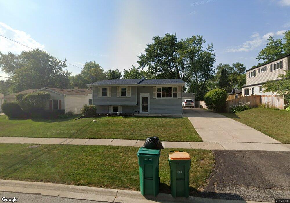
691 Maple Dr Buffalo Grove, IL 60089
South Buffalo Grove NeighborhoodEstimated Value: $367,011 - $407,000
3
Beds
1
Bath
1,031
Sq Ft
$378/Sq Ft
Est. Value
About This Home
This home is located at 691 Maple Dr, Buffalo Grove, IL 60089 and is currently estimated at $389,753, approximately $378 per square foot. 691 Maple Dr is a home located in Cook County with nearby schools including Henry W Longfellow Elementary School, Cooper Middle School, and Buffalo Grove High School.
Ownership History
Date
Name
Owned For
Owner Type
Purchase Details
Closed on
Dec 12, 2013
Sold by
Kallal Claudia J
Bought by
Kallal Claudia J and Bottum Kevin J
Current Estimated Value
Purchase Details
Closed on
May 27, 2005
Sold by
Musolf Paul J and Musolf Marilyn J
Bought by
The William F Kallal Trust
Create a Home Valuation Report for This Property
The Home Valuation Report is an in-depth analysis detailing your home's value as well as a comparison with similar homes in the area
Home Values in the Area
Average Home Value in this Area
Purchase History
| Date | Buyer | Sale Price | Title Company |
|---|---|---|---|
| Kallal Claudia J | -- | None Available | |
| The William F Kallal Trust | $329,000 | -- |
Source: Public Records
Tax History Compared to Growth
Tax History
| Year | Tax Paid | Tax Assessment Tax Assessment Total Assessment is a certain percentage of the fair market value that is determined by local assessors to be the total taxable value of land and additions on the property. | Land | Improvement |
|---|---|---|---|---|
| 2024 | $3,791 | $28,000 | $6,480 | $21,520 |
| 2023 | $3,763 | $28,000 | $6,480 | $21,520 |
| 2022 | $3,763 | $28,000 | $6,480 | $21,520 |
| 2021 | $4,203 | $23,029 | $4,140 | $18,889 |
| 2020 | $3,810 | $23,029 | $4,140 | $18,889 |
| 2019 | $3,793 | $25,532 | $4,140 | $21,392 |
| 2018 | $5,769 | $23,621 | $3,600 | $20,021 |
| 2017 | $4,076 | $23,621 | $3,600 | $20,021 |
| 2016 | $4,675 | $23,621 | $3,600 | $20,021 |
| 2015 | $5,312 | $20,133 | $3,060 | $17,073 |
| 2014 | $5,255 | $20,133 | $3,060 | $17,073 |
| 2013 | $6,218 | $20,133 | $3,060 | $17,073 |
Source: Public Records
Map
Nearby Homes
- 98 Stonegate Rd
- 410 Chatham Cir
- 310 Rosewood Ave
- 921 Bernard Dr
- 408 Indian Hill Dr
- 455 Mayfair Ln
- 535 Estate Dr
- 746 Old Checker Rd Unit E5
- 476 Raupp Blvd
- 25 Crestview Terrace
- 859 Beechwood Rd
- 665 Thornwood Dr
- 183 Saint Marys Pkwy
- 872 Old Checker Rd Unit E3
- 813 Stradford Cir Unit 21B2
- 234 Mohawk Trail
- 1112 Auburn Ln
- 820 Weidner Rd Unit 4013
- 820 Weidner Rd Unit 409
- 98 Glendale Rd
- 685 Maple Dr
- 199 Cherrywood Rd
- 673 Maple Dr
- 692 Hickory Dr Unit 6
- 684 Hickory Dr
- 221 Cherrywood Rd
- 674 Hickory Dr
- 692 Maple Dr
- 661 Maple Dr
- 684 Maple Dr
- 171 Cherrywood Rd
- 674 Maple Dr
- 664 Hickory Dr
- 200 Cherrywood Rd
- 210 Cherrywood Rd
- 190 Cherrywood Rd
- 653 Maple Dr Unit 6
- 220 Cherrywood Rd
- 662 Maple Dr
- 180 Cherrywood Rd