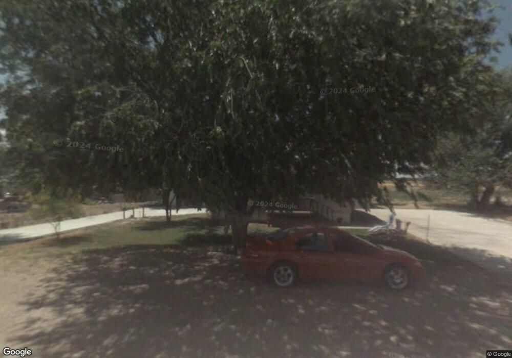
691 N 4600 W Fillmore, UT 84631
Estimated Value: $416,853 - $498,000
--
Bed
--
Bath
--
Sq Ft
1.94
Acres
About This Home
This home is located at 691 N 4600 W, Fillmore, UT 84631 and is currently estimated at $443,463. 691 N 4600 W is a home.
Ownership History
Date
Name
Owned For
Owner Type
Purchase Details
Closed on
Jul 30, 2014
Sold by
Dallas J Dallas J
Bought by
Anderson Stephen C and Anderson Beulah I
Current Estimated Value
Purchase Details
Closed on
Sep 28, 2012
Sold by
Woodliff Jeanne Elizabeth Briggs
Bought by
Griffith Dallas J
Home Financials for this Owner
Home Financials are based on the most recent Mortgage that was taken out on this home.
Original Mortgage
$57,091
Interest Rate
8.25%
Create a Home Valuation Report for This Property
The Home Valuation Report is an in-depth analysis detailing your home's value as well as a comparison with similar homes in the area
Home Values in the Area
Average Home Value in this Area
Purchase History
| Date | Buyer | Sale Price | Title Company |
|---|---|---|---|
| Anderson Stephen C | -- | First American Title Insur | |
| Griffith Dallas J | -- | First American Title Insuran |
Source: Public Records
Mortgage History
| Date | Status | Borrower | Loan Amount |
|---|---|---|---|
| Previous Owner | Griffith Dallas J | $57,091 |
Source: Public Records
Tax History Compared to Growth
Tax History
| Year | Tax Paid | Tax Assessment Tax Assessment Total Assessment is a certain percentage of the fair market value that is determined by local assessors to be the total taxable value of land and additions on the property. | Land | Improvement |
|---|---|---|---|---|
| 2025 | $1,195 | $158,993 | $21,055 | $137,938 |
| 2024 | $164,185 | $164,185 | $15,372 | $148,813 |
| 2023 | $164,185 | $164,185 | $15,372 | $148,813 |
| 2022 | $1,012 | $96,889 | $14,250 | $82,639 |
| 2021 | $849 | $78,480 | $12,600 | $65,880 |
| 2020 | $785 | $73,537 | $13,050 | $60,487 |
| 2019 | $718 | $67,789 | $13,050 | $54,739 |
| 2018 | $700 | $67,789 | $13,050 | $54,739 |
| 2017 | $697 | $64,489 | $9,750 | $54,739 |
| 2016 | $609 | $59,015 | $9,750 | $49,265 |
| 2015 | $574 | $55,626 | $9,750 | $45,876 |
| 2014 | -- | $50,229 | $9,750 | $40,479 |
| 2013 | -- | $49,194 | $9,750 | $39,444 |
Source: Public Records
Map
Nearby Homes
- 7500 N 3900 Rd W
- 1360 N 3900 West Rd
- 2000 N West Frontage I-15
- 400 W 2600 North St
- 3700 W 5800 N
- 205 N 100 E
- 1565 W Sunflower Ln Unit 3
- 1615 W Sunflower Ln
- 1615 W Sunflower Ln Unit 4
- 1565 W Sunflower Ln
- 410 W 400 N
- 310 S 500 West Rd
- 1100 S 725 Rd W
- 335 W 400 North St
- 225 W 200 St N
- 380 N 200 St W
- 295 N 100 West St
- 165 N 100 W
- 390 N 100 W
- 75 N 100 West St