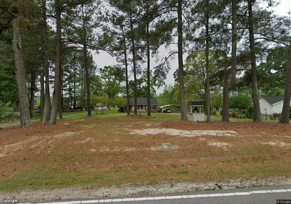
691 Otis Burrows Rd Louisburg, NC 27549
Estimated Value: $193,000 - $233,470
3
Beds
1
Bath
1,053
Sq Ft
$201/Sq Ft
Est. Value
About This Home
This home is located at 691 Otis Burrows Rd, Louisburg, NC 27549 and is currently estimated at $211,868, approximately $201 per square foot. 691 Otis Burrows Rd is a home located in Franklin County with nearby schools including Louisburg Elementary School, Terrell Lane Middle School, and Louisburg High School.
Ownership History
Date
Name
Owned For
Owner Type
Purchase Details
Closed on
Apr 22, 2019
Sold by
Driver Donald K
Bought by
Driver Stephen Lewis and Marie Pearl Driver Trust
Current Estimated Value
Purchase Details
Closed on
Dec 6, 2018
Sold by
Alternator And Starter Service Llc
Bought by
Driver Donald K
Purchase Details
Closed on
Sep 18, 2007
Sold by
Yow Donna B and Bobbitt Donna B
Bought by
Marshall Bobby Lee
Home Financials for this Owner
Home Financials are based on the most recent Mortgage that was taken out on this home.
Original Mortgage
$89,000
Interest Rate
1.5%
Mortgage Type
Adjustable Rate Mortgage/ARM
Create a Home Valuation Report for This Property
The Home Valuation Report is an in-depth analysis detailing your home's value as well as a comparison with similar homes in the area
Home Values in the Area
Average Home Value in this Area
Purchase History
| Date | Buyer | Sale Price | Title Company |
|---|---|---|---|
| Driver Stephen Lewis | -- | None Available | |
| Driver Donald K | -- | None Available | |
| Marshall Bobby Lee | $89,000 | None Available |
Source: Public Records
Mortgage History
| Date | Status | Borrower | Loan Amount |
|---|---|---|---|
| Previous Owner | Marshall Bobby Lee | $89,000 |
Source: Public Records
Tax History Compared to Growth
Tax History
| Year | Tax Paid | Tax Assessment Tax Assessment Total Assessment is a certain percentage of the fair market value that is determined by local assessors to be the total taxable value of land and additions on the property. | Land | Improvement |
|---|---|---|---|---|
| 2025 | $1,396 | $213,502 | $69,312 | $144,190 |
| 2024 | $1,396 | $213,502 | $69,312 | $144,190 |
| 2023 | $1,112 | $113,550 | $27,600 | $85,950 |
| 2022 | $1,102 | $113,550 | $27,600 | $85,950 |
| 2021 | $1,113 | $113,550 | $27,600 | $85,950 |
| 2020 | $1,108 | $113,550 | $27,600 | $85,950 |
| 2019 | $1,096 | $113,550 | $27,600 | $85,950 |
| 2018 | $1,093 | $113,550 | $27,600 | $85,950 |
| 2017 | $1,013 | $95,410 | $24,640 | $70,770 |
| 2016 | $1,046 | $95,410 | $24,640 | $70,770 |
| 2015 | $1,041 | $95,410 | $24,640 | $70,770 |
| 2014 | $966 | $95,410 | $24,640 | $70,770 |
Source: Public Records
Map
Nearby Homes
- 65 Hillside Village Dr
- 25 Hillside Village Dr
- 705 Timberlake Rd
- 1213 U S 401
- 3004 Us 401 Hwy S
- 0 Us 401 Hwy S
- 20 Lemon Drop Ln
- 30 Lemon Drop Ln
- 631 N Carolina 39
- 560 S N C 39 Hwy
- 30 Watermelon Dr
- 35 Watermelon Dr
- 25 Watermelon Dr
- Glimmer Plan at Green Hill
- Radiance Plan at Green Hill
- Solstice Plan at Green Hill
- Beacon Plan at Green Hill
- Luna Plan at Green Hill
- Falcon Plan at Green Hill
- Hubble Plan at Green Hill
- 701 Otis Burrows Rd
- 709 Otis Burrows Rd
- 661 Otis Burrows Rd
- 655 Otis Burrows Rd
- 625 F Cottrell Rd
- 625 Otis Burrows Rd
- 622 Ef Cottrell Rd
- 638 Ef Cottrell Rd
- 656 Ef Cottrell Rd
- 608 Ef Cottrell Rd
- 4 N Ridge Dr
- 180 Hillside Village Dr
- 165 Northdale Ct
- 165 Hillside Village Dr
- 175 Northdale Ct
- 155 Northdale Ct
- 145 Northdale Ct
- 135 Northdale Ct
- 170 Hillside Village Dr
- 9 N Ridge Dr