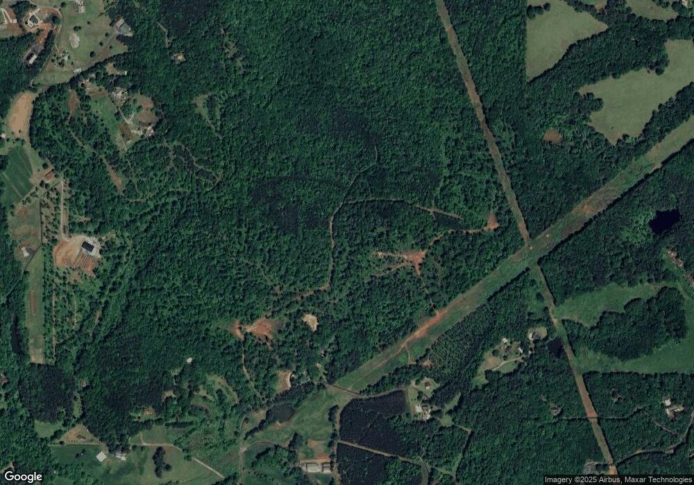
691 Theodore Cox Cir Canton, GA 30114
Estimated Value: $368,000 - $559,000
3
Beds
2
Baths
1,600
Sq Ft
$287/Sq Ft
Est. Value
About This Home
This home is located at 691 Theodore Cox Cir, Canton, GA 30114 and is currently estimated at $458,735, approximately $286 per square foot. 691 Theodore Cox Cir is a home located in Cherokee County with nearby schools including R. M. Moore Elementary School, Teasley Middle School, and Cherokee High School.
Ownership History
Date
Name
Owned For
Owner Type
Purchase Details
Closed on
Aug 13, 2019
Sold by
George Micah Whitefield
Bought by
Berger Jay and Berger Janice Pierce
Current Estimated Value
Purchase Details
Closed on
Apr 22, 2019
Sold by
George Micah Whitefield
Bought by
George Micah Whitefield and George Jennifer Marie
Home Financials for this Owner
Home Financials are based on the most recent Mortgage that was taken out on this home.
Original Mortgage
$166,250
Interest Rate
4.2%
Mortgage Type
New Conventional
Create a Home Valuation Report for This Property
The Home Valuation Report is an in-depth analysis detailing your home's value as well as a comparison with similar homes in the area
Home Values in the Area
Average Home Value in this Area
Purchase History
| Date | Buyer | Sale Price | Title Company |
|---|---|---|---|
| Berger Jay | $390,000 | -- | |
| George Micah Whitefield | -- | -- | |
| George Micah Whitefield | $175,000 | -- |
Source: Public Records
Mortgage History
| Date | Status | Borrower | Loan Amount |
|---|---|---|---|
| Previous Owner | George Micah Whitefield | $166,250 |
Source: Public Records
Tax History Compared to Growth
Tax History
| Year | Tax Paid | Tax Assessment Tax Assessment Total Assessment is a certain percentage of the fair market value that is determined by local assessors to be the total taxable value of land and additions on the property. | Land | Improvement |
|---|---|---|---|---|
| 2025 | $821 | $173,040 | $94,000 | $79,040 |
| 2024 | $774 | $146,720 | $67,120 | $79,600 |
| 2023 | $563 | $123,360 | $56,640 | $66,720 |
| 2022 | $647 | $96,560 | $48,240 | $48,320 |
| 2021 | $644 | $81,840 | $41,960 | $39,880 |
| 2020 | $1,989 | $70,000 | $35,058 | $34,942 |
| 2019 | $1,770 | $62,280 | $35,280 | $27,000 |
| 2018 | $1,743 | $60,960 | $35,280 | $25,680 |
| 2017 | $1,734 | $153,600 | $35,280 | $26,160 |
| 2016 | $1,734 | $148,900 | $35,280 | $24,280 |
| 2015 | $1,764 | $150,000 | $35,280 | $24,720 |
| 2014 | $1,696 | $143,900 | $33,800 | $23,760 |
Source: Public Records
Map
Nearby Homes
- 908 Sardis Rd
- 932 Sardis Rd
- 735 Sardis Cir
- 737 Sardis Cir
- 544 Sardis Cir
- 240 Land Rd
- 0 Friendship Rd Unit 7664369
- 0 Friendship Rd Unit 10623273
- 506 Black Horse Cir
- 535 Black Horse Cir
- 533 Black Horse Cir
- 2020 Darby Rd
- 3869 Lower Burris Rd
- 520 Black Horse Cir
- 261 Clayton Trail
- 6231 Reinhardt College Pkwy
- 1723 Darby Rd
- 569 Byrd Mountain Ln
- 782 Lower Burris Rd
- 1717 Darby Rd
- 201 Sardis Cir
- 255 Sardis Cir
- 10 Theodore Cox Cir
- 09 Theodore Cox Cir
- 892 Theodore Cox Cir
- 541 Theodore Cox Cir
- 00 Theodore Cox Ln
- 891 Theodore Cox Cir
- 895 Theodore Cox Cir
- 284 Theodore Cox Cir
- 363 Theodore Cox Cir
- 329 Theodore Cox Cir
- 230 Ironwood Rd
- 361 Theodore Cox Cir
- 295 Theodore Cox Cir
- 193 Theodore Cox Cir
- 333 Theodore Cox Cir
- 1245 Theodore Cox Cir
- 239 Sardis Rd
- * Theodore Cox Cir
