6910 Bret Ln E Shepherd, MT 59079
Estimated Value: $545,000 - $621,000
3
Beds
2
Baths
2,240
Sq Ft
$260/Sq Ft
Est. Value
About This Home
This home is located at 6910 Bret Ln E, Shepherd, MT 59079 and is currently estimated at $581,935, approximately $259 per square foot. 6910 Bret Ln E is a home located in Yellowstone County with nearby schools including Shepherd Elementary School, Shepherd Middle School, and Shepherd High School.
Ownership History
Date
Name
Owned For
Owner Type
Purchase Details
Closed on
May 20, 2016
Sold by
Wetsch Monti J
Bought by
Harr Thomas and Mccleary Sharon M
Current Estimated Value
Home Financials for this Owner
Home Financials are based on the most recent Mortgage that was taken out on this home.
Original Mortgage
$294,500
Outstanding Balance
$233,906
Interest Rate
3.59%
Mortgage Type
New Conventional
Estimated Equity
$348,029
Create a Home Valuation Report for This Property
The Home Valuation Report is an in-depth analysis detailing your home's value as well as a comparison with similar homes in the area
Purchase History
| Date | Buyer | Sale Price | Title Company |
|---|---|---|---|
| Harr Thomas | -- | American Title & Escrow |
Source: Public Records
Mortgage History
| Date | Status | Borrower | Loan Amount |
|---|---|---|---|
| Open | Harr Thomas | $294,500 |
Source: Public Records
Tax History
| Year | Tax Paid | Tax Assessment Tax Assessment Total Assessment is a certain percentage of the fair market value that is determined by local assessors to be the total taxable value of land and additions on the property. | Land | Improvement |
|---|---|---|---|---|
| 2025 | $3,788 | $534,900 | $118,704 | $416,196 |
| 2024 | $3,788 | $443,100 | $86,806 | $356,294 |
| 2023 | $3,854 | $443,100 | $86,806 | $356,294 |
| 2022 | $3,337 | $354,800 | $0 | $0 |
| 2021 | $3,454 | $354,800 | $0 | $0 |
| 2020 | $3,125 | $309,000 | $0 | $0 |
| 2019 | $2,588 | $309,000 | $0 | $0 |
| 2018 | $2,476 | $277,500 | $0 | $0 |
| 2017 | $2,410 | $277,500 | $0 | $0 |
| 2016 | $2,359 | $283,200 | $0 | $0 |
| 2015 | $2,338 | $283,200 | $0 | $0 |
| 2014 | $2,007 | $130,221 | $0 | $0 |
Source: Public Records
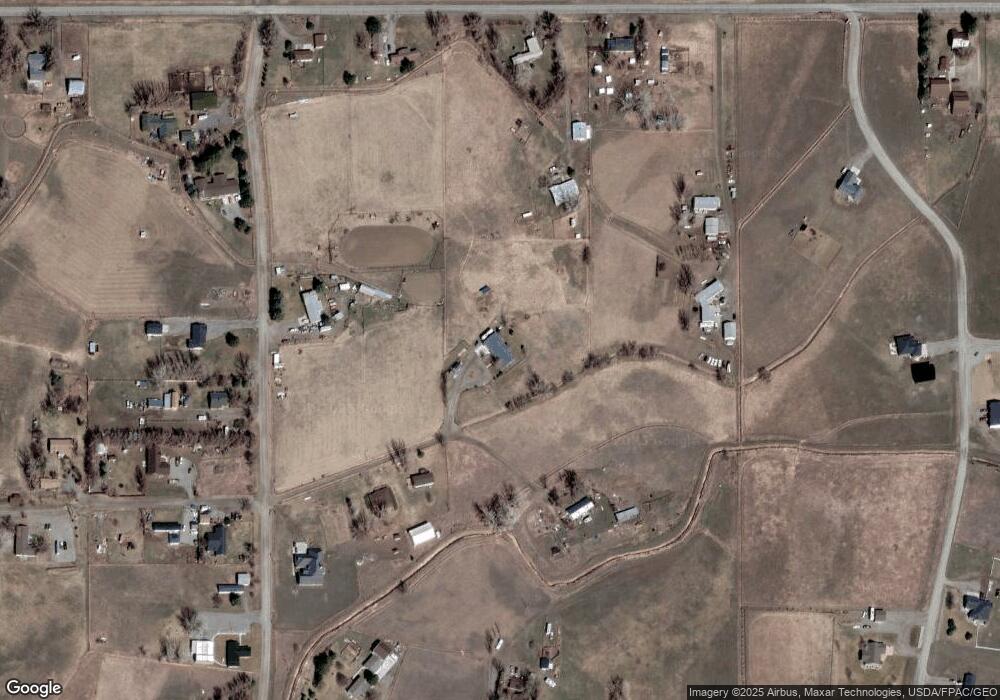
Map
Nearby Homes
- 6835 Eagle Bend Blvd
- 7340 Wild Game Trail
- 7420 Whitetail Run
- 7729 Buckskin Dr
- 5652 Bengston Rd
- 8020 Wade St
- 5615 Scandia Rd
- 9705 Shepherd Rd
- 5430 Cerkoney Ln
- 10550 Reno Ln
- 6513 Frey Rd
- 1794 N 4th Rd
- 0 Shepherd Road Lot Shepherd Rd
- 0 SHepherd Road lot Shepherd Rd
- 10052 Floating Island Way
- 6345 Pleasant Hollow Trail
- 852 W I Rd
- 2573 Road 8
- 2573 N 8th Rd
- 2285 N 9th Rd
- 6838 Bret Ln E
- 6914 Church Rd
- 8641 Razor Creek Dr
- 6946 Church Rd
- 8624 Razor Creek Dr
- 8624 Razor Creek Dr
- 6802 Bret Ln E
- 8636 Razor Creek Dr
- 6735 Bret Ln W
- 6828 Church Rd
- 8716 Razor Creek Dr
- 6928 Church Rd
- 8588 Razor Creek Dr
- 0 Razor Cir
- 6743 Razor Cir
- 6810 Church Rd
- 6903 Jamyne Ln
- 6815 Jamyne Ln
- TBD Razor Cir
- 6740 Eagle Bend Blvd
Your Personal Tour Guide
Ask me questions while you tour the home.