6910 Forrest Rd Columbus, GA 31907
East Columbus NeighborhoodEstimated Value: $56,511 - $135,000
2
Beds
1
Bath
831
Sq Ft
$95/Sq Ft
Est. Value
About This Home
This home is located at 6910 Forrest Rd, Columbus, GA 31907 and is currently estimated at $78,628, approximately $94 per square foot. 6910 Forrest Rd is a home located in Muscogee County with nearby schools including Forrest Road Elementary School, Fort Middle School, and Kendrick High School.
Ownership History
Date
Name
Owned For
Owner Type
Purchase Details
Closed on
Jul 20, 2022
Sold by
Ciprian Poplacean Ioan
Bought by
Sfr3-080 Llc
Current Estimated Value
Purchase Details
Closed on
Apr 27, 2020
Sold by
Turnipseed Yvonne
Bought by
Poplacean Ioan Ciprian
Purchase Details
Closed on
Jul 10, 2016
Sold by
Arthur R
Bought by
Turnipseed Yvonne and Tigner Reginald C
Purchase Details
Closed on
Jan 21, 2014
Sold by
Cullins Debra Ann Turnipse
Bought by
Turnipseed Arthur R
Purchase Details
Closed on
Jun 25, 2013
Sold by
Graham Larry
Bought by
Turnipseed Arthur R
Create a Home Valuation Report for This Property
The Home Valuation Report is an in-depth analysis detailing your home's value as well as a comparison with similar homes in the area
Home Values in the Area
Average Home Value in this Area
Purchase History
| Date | Buyer | Sale Price | Title Company |
|---|---|---|---|
| Sfr3-080 Llc | $38,000 | None Listed On Document | |
| Poplacean Ioan Ciprian | -- | -- | |
| Turnipseed Yvonne | -- | -- | |
| Turnipseed Arthur R | -- | -- | |
| Turnipseed Arthur R | -- | -- |
Source: Public Records
Tax History
| Year | Tax Paid | Tax Assessment Tax Assessment Total Assessment is a certain percentage of the fair market value that is determined by local assessors to be the total taxable value of land and additions on the property. | Land | Improvement |
|---|---|---|---|---|
| 2025 | $982 | $25,076 | $2,688 | $22,388 |
| 2024 | $982 | $25,076 | $2,688 | $22,388 |
| 2023 | $597 | $15,160 | $2,440 | $12,720 |
| 2022 | $582 | $14,248 | $2,688 | $11,560 |
| 2021 | $274 | $6,000 | $2,200 | $3,800 |
| 2020 | $299 | $7,324 | $2,688 | $4,636 |
| 2019 | $300 | $7,324 | $2,688 | $4,636 |
| 2018 | $300 | $7,324 | $2,688 | $4,636 |
| 2017 | $301 | $7,324 | $2,688 | $4,636 |
| 2016 | $198 | $4,798 | $2,163 | $2,635 |
| 2015 | -- | $4,798 | $2,163 | $2,635 |
| 2014 | $198 | $4,798 | $2,163 | $2,635 |
| 2013 | -- | $4,798 | $2,163 | $2,635 |
Source: Public Records
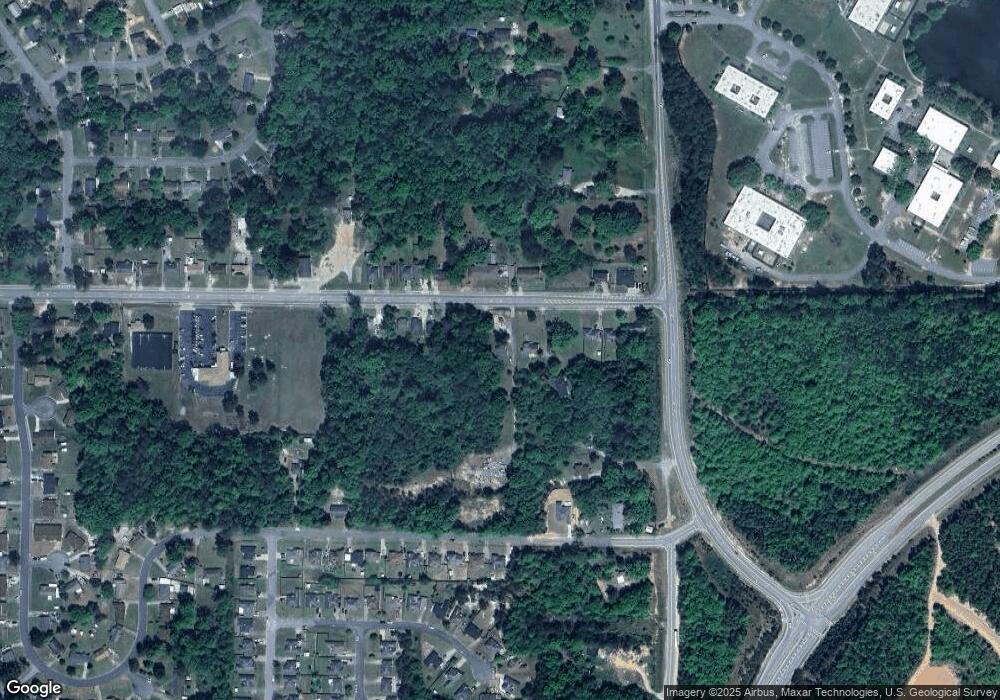
Map
Nearby Homes
- 2735 Schatulga Rd
- 2737 Schatulga Rd
- 5646 Boby Dr
- 5644 Peggy Dr
- 6636 Foxboro Dr
- 2216 Hunter Ct
- 6946 Boby Ct
- 3041 Waddell Dr
- 2143 Hunter Ct
- 2708 Courtland Ave
- 6703 Aldora Dr
- 6424 Lemongrass Dr
- 6386 Lemongrass Dr
- 3 Playfield Ct
- 6378 Lemongrass Dr
- 6374 Lemongrass Dr
- 6370 Lemongrass Dr
- 6362 Lemongrass Dr
- 1925 Woodhollow Dr
- 1826 Woodhollow Dr
- 6900 & 6904 Forrest Rd
- 6918 Forrest Rd
- 6844 Forrest Rd
- 6840 Forrest Rd
- 2729 Schatulga Rd
- 6851 Forrest Rd
- 6838 Forrest Rd
- 6960 Forrest Rd
- 6915 Forrest Rd
- 6923 Forest Rd
- 6923 Forrest Rd
- 6845 Forrest Rd
- 6832 Forrest Rd
- 6927 Forrest Rd
- 6927 Forest Rd
- 6970 Forrest Rd
- 6828 Forrest Rd
- 6841 Forrest Rd
- 6925 Mitchell Dr
- 6931 Forrest Rd
Your Personal Tour Guide
Ask me questions while you tour the home.