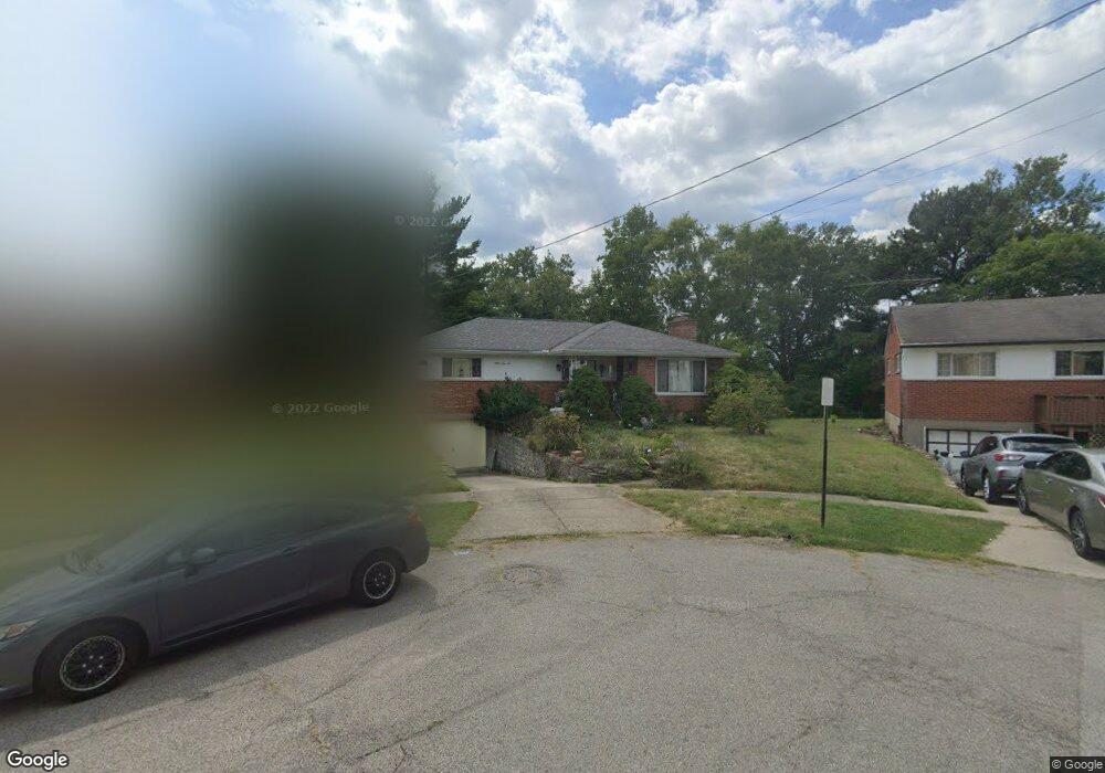
6910 Terrylynn Ln Cincinnati, OH 45239
Estimated Value: $197,000 - $223,437
3
Beds
2
Baths
1,299
Sq Ft
$161/Sq Ft
Est. Value
About This Home
This home is located at 6910 Terrylynn Ln, Cincinnati, OH 45239 and is currently estimated at $209,109, approximately $160 per square foot. 6910 Terrylynn Ln is a home located in Hamilton County with nearby schools including North College Hill Elementary School, North College Hill Middle School, and North College Hill High School.
Ownership History
Date
Name
Owned For
Owner Type
Purchase Details
Closed on
Aug 29, 2002
Sold by
Weierman Carl J and Weierman June C
Bought by
Redd Jane A
Current Estimated Value
Home Financials for this Owner
Home Financials are based on the most recent Mortgage that was taken out on this home.
Original Mortgage
$82,000
Outstanding Balance
$35,053
Interest Rate
6.56%
Estimated Equity
$174,056
Create a Home Valuation Report for This Property
The Home Valuation Report is an in-depth analysis detailing your home's value as well as a comparison with similar homes in the area
Home Values in the Area
Average Home Value in this Area
Purchase History
| Date | Buyer | Sale Price | Title Company |
|---|---|---|---|
| Redd Jane A | $102,500 | -- |
Source: Public Records
Mortgage History
| Date | Status | Borrower | Loan Amount |
|---|---|---|---|
| Open | Redd Jane A | $82,000 |
Source: Public Records
Tax History Compared to Growth
Tax History
| Year | Tax Paid | Tax Assessment Tax Assessment Total Assessment is a certain percentage of the fair market value that is determined by local assessors to be the total taxable value of land and additions on the property. | Land | Improvement |
|---|---|---|---|---|
| 2024 | $2,913 | $53,428 | $10,014 | $43,414 |
| 2023 | $2,760 | $53,428 | $10,014 | $43,414 |
| 2022 | $2,591 | $36,519 | $8,442 | $28,077 |
| 2021 | $2,526 | $36,519 | $8,442 | $28,077 |
| 2020 | $2,563 | $36,519 | $8,442 | $28,077 |
| 2019 | $2,296 | $30,947 | $7,154 | $23,793 |
| 2018 | $2,297 | $30,947 | $7,154 | $23,793 |
| 2017 | $2,167 | $30,947 | $7,154 | $23,793 |
| 2016 | $1,962 | $27,808 | $7,053 | $20,755 |
| 2015 | $1,974 | $27,808 | $7,053 | $20,755 |
| 2014 | $1,973 | $27,808 | $7,053 | $20,755 |
| 2013 | $2,181 | $31,962 | $8,106 | $23,856 |
Source: Public Records
Map
Nearby Homes
- 2424 Banning Rd
- 2412 Amelia Ct
- 2342 Banning Rd
- 2268 Deblin Dr
- 2481 Crosley Meadow
- 2538 Byrneside Dr
- 2347 Golf Dr
- 6851 Rutherford Ct
- 2021 Catalpa Ave
- 2598 Byrneside Dr
- 2390 Golf Dr
- 2503 Flanigan Ct
- 2532 Flanigan Ct
- 2536 Flanigan Ct
- 2125 Mckinley Ave
- 2029 Sundale Ave
- 6505 Simpson Ave
- 6292 Simpson Ave
- 5851 Monfort Hills Ave
- 1948 Catalpa Ave
- 6916 Terrylynn Ln
- 6902 Terrylynn Ln
- 6807 Kenbyrne Ct
- 6948 Kellway Ct
- 6815 Kenbyrne Ct
- 6922 Terrylynn Ln
- 6952 Kellway Ct
- 6909 Terrylynn Ln
- 6827 Kenbyrne Ct
- 6921 Terrylynn Ln
- 6802 Kenbyrne Ct
- 6949 Kellway Ct
- 6956 Kellway Ct
- 6928 Terrylynn Ln
- 6839 Kenbyrne Ct
- 6929 Terrylynn Ln
- 6953 Kellway Ct
- 6851 Kenbyrne Ct
- 6934 Terrylynn Ln
- 6806 Kenbyrne Ct