6910 Williamson Rd Roanoke, VA 24019
--
Bed
--
Bath
51,351
Sq Ft
18.24
Acres
About This Home
This home is located at 6910 Williamson Rd, Roanoke, VA 24019. 6910 Williamson Rd is a home located in Roanoke County with nearby schools including Burlington Elementary School, Northside Middle School, and Northside High School.
Ownership History
Date
Name
Owned For
Owner Type
Purchase Details
Closed on
Feb 13, 2006
Sold by
Friendship Apartment Village Corp
Bought by
Silverado Holdings Llc
Home Financials for this Owner
Home Financials are based on the most recent Mortgage that was taken out on this home.
Original Mortgage
$75,000
Outstanding Balance
$42,397
Interest Rate
6.27%
Mortgage Type
Credit Line Revolving
Create a Home Valuation Report for This Property
The Home Valuation Report is an in-depth analysis detailing your home's value as well as a comparison with similar homes in the area
Home Values in the Area
Average Home Value in this Area
Purchase History
| Date | Buyer | Sale Price | Title Company |
|---|---|---|---|
| Silverado Holdings Llc | $950,000 | None Available |
Source: Public Records
Mortgage History
| Date | Status | Borrower | Loan Amount |
|---|---|---|---|
| Open | Silverado Holdings Llc | $75,000 |
Source: Public Records
Tax History Compared to Growth
Tax History
| Year | Tax Paid | Tax Assessment Tax Assessment Total Assessment is a certain percentage of the fair market value that is determined by local assessors to be the total taxable value of land and additions on the property. | Land | Improvement |
|---|---|---|---|---|
| 2025 | $31,656 | $3,073,400 | $1,295,400 | $1,778,000 |
| 2024 | $31,293 | $3,008,900 | $1,295,400 | $1,713,500 |
| 2023 | $30,854 | $2,910,800 | $1,295,400 | $1,615,400 |
| 2022 | $32,413 | $2,973,700 | $1,295,400 | $1,678,300 |
| 2021 | $32,413 | $2,973,700 | $1,295,400 | $1,678,300 |
| 2020 | $32,346 | $2,967,500 | $1,295,400 | $1,672,100 |
| 2019 | $32,035 | $2,939,000 | $1,295,400 | $1,643,600 |
| 2018 | $30,722 | $2,894,400 | $1,214,400 | $1,680,000 |
| 2017 | $30,722 | $2,818,500 | $1,214,400 | $1,604,100 |
| 2016 | $31,137 | $2,856,600 | $1,214,400 | $1,642,200 |
| 2015 | $31,142 | $2,857,100 | $1,214,900 | $1,642,200 |
| 2014 | $31,982 | $2,934,100 | $1,214,900 | $1,719,200 |
Source: Public Records
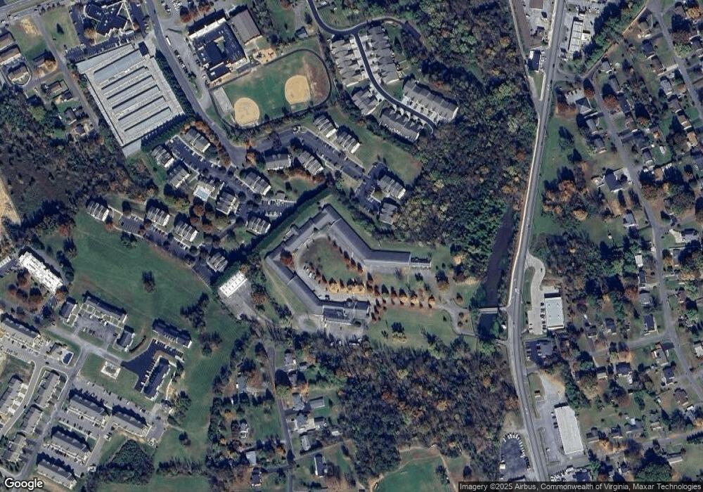
Map
Nearby Homes
- 6673 Jojo Ln
- 6663 Jojo Ln
- 6653 Jojo Ln
- 6643 Jojo Ln
- 6613 Jojo Ln
- 6603 Jojo Ln
- 142 Elwood St
- 6674 Village Green Dr
- 0 Chester Dr
- 328 Boxley Rd
- 252 Knoll Rd
- 1121 Nover Ave
- 427 Boxley Rd
- 210 Post Rd
- 7522 New Barrens Ct
- 6615 Northway Dr
- 518 Boxley Rd
- 6510 Brookfield Rd
- 1141 Starmount Ave
- 6359 Greenway Dr
- 7301 S Barrens Rd
- 7266 S Barrens Rd
- 7266 S Barrens Rd
- 7390 S Barrens Rd
- 6637 Pendleton Ave
- 6629 Pendleton Ave
- 6655 Stonelyn Cottage Ct
- 6659 Stonelyn Cottage Ct
- 6663 Stonelyn Cottage Ct
- 6653 Stonelyn Cottage Ct
- 6630 Pendleton Ave
- 6651 Stonelyn Cottage Ct
- 6649 Stonelyn Cottage Ct
- 6671 Stonelyn Cottage Ct
- 6491 Carefree Ln
- 7262 S Barrens Rd
- 6623 Pendleton Ave
- 6675 Stonelyn Cottage Ct
- 6645 Stonelyn Cottage Ct
- 6643 Stonelyn Cottage Ct