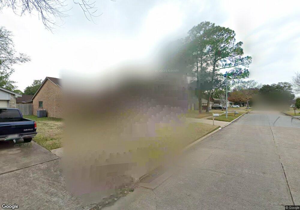
6911 Cloud Swept Ln Houston, TX 77086
North Houston NeighborhoodEstimated Value: $226,000 - $250,000
3
Beds
2
Baths
1,862
Sq Ft
$128/Sq Ft
Est. Value
About This Home
This home is located at 6911 Cloud Swept Ln, Houston, TX 77086 and is currently estimated at $238,408, approximately $128 per square foot. 6911 Cloud Swept Ln is a home located in Harris County with nearby schools including Kujawa EC/Pre-K/K School, Carmichael Elementary School, and Shotwell Middle School.
Ownership History
Date
Name
Owned For
Owner Type
Purchase Details
Closed on
Aug 13, 2002
Sold by
Garner Carl W and Garner Nora
Bought by
Stewart Carl D and Stewart Lori A
Current Estimated Value
Home Financials for this Owner
Home Financials are based on the most recent Mortgage that was taken out on this home.
Original Mortgage
$66,500
Outstanding Balance
$28,240
Interest Rate
6.6%
Estimated Equity
$210,168
Create a Home Valuation Report for This Property
The Home Valuation Report is an in-depth analysis detailing your home's value as well as a comparison with similar homes in the area
Home Values in the Area
Average Home Value in this Area
Purchase History
| Date | Buyer | Sale Price | Title Company |
|---|---|---|---|
| Stewart Carl D | -- | American Title Co |
Source: Public Records
Mortgage History
| Date | Status | Borrower | Loan Amount |
|---|---|---|---|
| Open | Stewart Carl D | $66,500 |
Source: Public Records
Tax History Compared to Growth
Tax History
| Year | Tax Paid | Tax Assessment Tax Assessment Total Assessment is a certain percentage of the fair market value that is determined by local assessors to be the total taxable value of land and additions on the property. | Land | Improvement |
|---|---|---|---|---|
| 2025 | $3,156 | $225,736 | $39,329 | $186,407 |
| 2024 | $3,156 | $229,321 | $39,329 | $189,992 |
| 2023 | $3,156 | $237,328 | $39,329 | $197,999 |
| 2022 | $3,862 | $196,606 | $33,330 | $163,276 |
| 2021 | $3,502 | $163,510 | $33,330 | $130,180 |
| 2020 | $3,540 | $154,747 | $33,330 | $121,417 |
| 2019 | $3,346 | $148,666 | $16,993 | $131,673 |
| 2018 | $1,197 | $140,771 | $16,993 | $123,778 |
| 2017 | $2,666 | $132,028 | $15,259 | $116,769 |
| 2016 | $2,424 | $119,622 | $15,259 | $104,363 |
| 2015 | $1,713 | $111,132 | $15,259 | $95,873 |
| 2014 | $1,713 | $83,544 | $15,259 | $68,285 |
Source: Public Records
Map
Nearby Homes
- 6822 Dusty Dawn Dr
- 6911 Silver Star Dr
- 6830 Desert Rose Ln
- 10306 Jillana Kaye Dr
- 6703 Deer Ridge Ln
- 7023 Sandswept Ln
- 10307 Bammel North Houston Rd
- 7002 Sandswept Ln
- 6606 Dusty Dawn Dr
- 9815 Lonsford Dr
- 6722 Winding Trace Dr
- 10214 Trade Winds Dr
- 7011 Lower Arrow Dr
- 6706 Redding Springs Ln
- 7307 Silver Star Dr
- 7302 Seton Lake Dr
- 6615 Winding Trace Dr
- 10614 Mackenzie Dr
- 6502 Trail Valley Way
- 6654 Brownie Campbell Rd
- 6915 Cloud Swept Ln
- 6907 Cloud Swept Ln
- 6922 Dusty Dawn Dr
- 6918 Dusty Dawn Dr
- 6919 Cloud Swept Ln
- 6903 Cloud Swept Ln
- 6926 Dusty Dawn Dr
- 6914 Dusty Dawn Dr
- 6914 Cloud Swept Ln
- 6910 Cloud Swept Ln
- 6918 Cloud Swept Ln
- 6835 Cloud Swept Ln
- 6906 Cloud Swept Ln
- 6923 Cloud Swept Ln
- 6930 Dusty Dawn Dr
- 6910 Dusty Dawn Dr
- 6834 Cloud Swept Ln
- 6922 Cloud Swept Ln
- 6831 Cloud Swept Ln
- 6923 Dusty Dawn Dr