6911 Patten Tract Rd Unit b Sandusky, OH 44870
Estimated Value: $322,000 - $337,000
4
Beds
3
Baths
2,460
Sq Ft
$134/Sq Ft
Est. Value
About This Home
This home is located at 6911 Patten Tract Rd Unit b, Sandusky, OH 44870 and is currently estimated at $329,261, approximately $133 per square foot. 6911 Patten Tract Rd Unit b is a home located in Erie County with nearby schools including Furry Elementary School, Meadowlawn Elementary School, and Briar Middle School.
Ownership History
Date
Name
Owned For
Owner Type
Purchase Details
Closed on
Sep 28, 2009
Sold by
Patton Robert C and Patton Teresa A
Bought by
Maldonado James A and Maldonado Kristin D
Current Estimated Value
Home Financials for this Owner
Home Financials are based on the most recent Mortgage that was taken out on this home.
Original Mortgage
$157,559
Outstanding Balance
$100,504
Interest Rate
5.19%
Mortgage Type
FHA
Estimated Equity
$228,757
Purchase Details
Closed on
Jul 17, 2000
Sold by
Miller Gary E
Bought by
Patton Robert C and Patton Teresa A
Home Financials for this Owner
Home Financials are based on the most recent Mortgage that was taken out on this home.
Original Mortgage
$131,000
Interest Rate
8.55%
Mortgage Type
New Conventional
Create a Home Valuation Report for This Property
The Home Valuation Report is an in-depth analysis detailing your home's value as well as a comparison with similar homes in the area
Home Values in the Area
Average Home Value in this Area
Purchase History
We collect this data history from publicly available records. To have your information removed, we recommend requesting removal directly through your county’s website.
| Date | Buyer | Sale Price | Title Company |
|---|---|---|---|
| Maldonado James A | $163,000 | Hartung Title | |
| Patton Robert C | $169,000 | -- |
Source: Public Records
Mortgage History
We collect this data history from publicly available records. To have your information removed, we recommend requesting removal directly through your county’s website.
| Date | Status | Borrower | Loan Amount |
|---|---|---|---|
| Open | Maldonado James A | $157,559 | |
| Previous Owner | Patton Robert C | $131,000 |
Source: Public Records
Tax History
| Year | Tax Paid | Tax Assessment Tax Assessment Total Assessment is a certain percentage of the fair market value that is determined by local assessors to be the total taxable value of land and additions on the property. | Land | Improvement |
|---|---|---|---|---|
| 2025 | $4,102 | $91,762 | $10,671 | $81,091 |
| 2024 | $4,102 | $91,762 | $10,671 | $81,091 |
| 2023 | $4,193 | $76,037 | $7,409 | $68,628 |
| 2022 | $4,261 | $76,047 | $7,409 | $68,638 |
| 2021 | $4,256 | $76,050 | $7,410 | $68,640 |
| 2020 | $3,680 | $66,330 | $7,410 | $58,920 |
| 2019 | $3,787 | $66,330 | $7,410 | $58,920 |
| 2018 | $3,789 | $66,330 | $7,410 | $58,920 |
| 2017 | $3,818 | $65,030 | $12,890 | $52,140 |
| 2016 | $3,334 | $65,030 | $12,890 | $52,140 |
| 2015 | $3,273 | $65,030 | $12,890 | $52,140 |
| 2014 | $3,436 | $67,520 | $12,890 | $54,630 |
| 2013 | $3,203 | $67,520 | $12,890 | $54,630 |
Source: Public Records
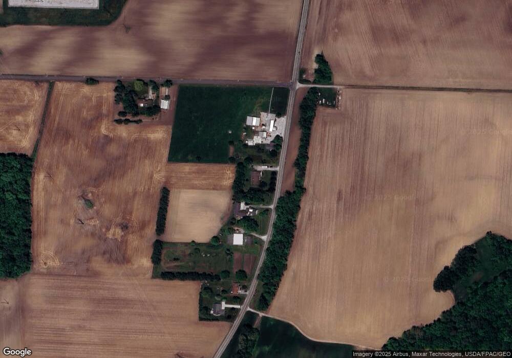
Map
Nearby Homes
- 2702 W Bogart Rd
- 4702 W Mason Rd
- 6208 Skadden Rd
- 5105 Campbell St
- 0 Skadden Rd
- 1315 S Lake Wilmer Dr Unit 109
- 1305 S Lake Wilmer Dr Unit 207
- 1305 S Lake Wilmer Dr Unit 303A
- 4716 Lake Ct
- 0 Quarry Lakes Dr Unit 20205329
- 0 Quarry Lakes Dr Unit 20205328
- 612 Helina Dr
- 5802 Cambridge Cir
- 3816 Hoffman Dr
- 5015 Denver Ave
- 4611 Columbus Ave
- 504 Meadow Ln
- 3712 Matthes Ave
- 3712 Ronald Dr
- 301 Schiller Ave
- 6911 Patten Tract Rd
- 6915 Patten Tract Rd
- 7015 Patten Tract Rd
- 7011 Patten Tract Rd
- 2510 Fox Rd
- 7205 Patten Tract Rd
- 7303 Patten Tract Rd
- 2900 Fox Rd
- 7319 Patten Tract Rd
- 7003 Patten Tract Rd
- 7513 Patten Tract Rd
- 3005 Fox Rd
- 7519 Patten Tract Rd
- 7507 Patten Tract Rd
- 7603 Patten Tract Rd
- 3016 Fox Rd
- 3015 Fox Rd
- 7609 Patten Tract Rd
- 3020 Fox Rd
- 7505 Patten Tract Rd
Your Personal Tour Guide
Ask me questions while you tour the home.