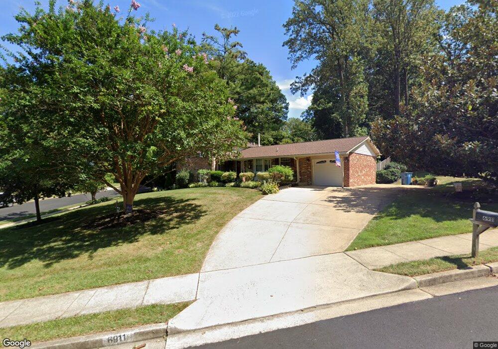
6911 Spur Rd Springfield, VA 22153
Estimated Value: $730,000 - $766,000
4
Beds
3
Baths
1,311
Sq Ft
$573/Sq Ft
Est. Value
About This Home
This home is located at 6911 Spur Rd, Springfield, VA 22153 and is currently estimated at $751,734, approximately $573 per square foot. 6911 Spur Rd is a home located in Fairfax County with nearby schools including Orange Hunt Elementary School, Irving Middle School, and West Springfield High School.
Ownership History
Date
Name
Owned For
Owner Type
Purchase Details
Closed on
Jul 31, 1997
Sold by
Sullivan Catherine Maureen
Bought by
Grazankowski Richard P and Grazankowski Patricia D
Current Estimated Value
Home Financials for this Owner
Home Financials are based on the most recent Mortgage that was taken out on this home.
Original Mortgage
$144,000
Outstanding Balance
$21,603
Interest Rate
7.55%
Mortgage Type
New Conventional
Estimated Equity
$730,131
Create a Home Valuation Report for This Property
The Home Valuation Report is an in-depth analysis detailing your home's value as well as a comparison with similar homes in the area
Home Values in the Area
Average Home Value in this Area
Purchase History
| Date | Buyer | Sale Price | Title Company |
|---|---|---|---|
| Grazankowski Richard P | $192,000 | -- |
Source: Public Records
Mortgage History
| Date | Status | Borrower | Loan Amount |
|---|---|---|---|
| Open | Grazankowski Richard P | $144,000 |
Source: Public Records
Tax History
| Year | Tax Paid | Tax Assessment Tax Assessment Total Assessment is a certain percentage of the fair market value that is determined by local assessors to be the total taxable value of land and additions on the property. | Land | Improvement |
|---|---|---|---|---|
| 2025 | $8,234 | $725,960 | $306,000 | $419,960 |
| 2024 | $8,234 | $710,730 | $301,000 | $409,730 |
| 2023 | $7,608 | $674,130 | $276,000 | $398,130 |
| 2022 | $7,207 | $630,240 | $256,000 | $374,240 |
| 2021 | $6,271 | $534,370 | $221,000 | $313,370 |
| 2020 | $6,274 | $530,100 | $221,000 | $309,100 |
| 2019 | $6,217 | $525,330 | $216,000 | $309,330 |
| 2018 | $5,964 | $503,920 | $206,000 | $297,920 |
| 2017 | $5,691 | $490,170 | $201,000 | $289,170 |
| 2016 | $5,679 | $490,170 | $201,000 | $289,170 |
Source: Public Records
Map
Nearby Homes
- 6802 Sydenstricker Rd
- 6639 Green Ash Dr
- 8905 Side Saddle Rd
- 7121 Red Horse Tavern Ln
- 9202 Rockefeller Ln
- 7200 Beachway Ct
- 6606 Huntsman Blvd
- 6819 Lavant Dr
- 7149 Game Lord Dr
- 8600 Kentford Dr
- 8615 Kerry Ln
- 6352 Shaundale Dr
- 6360 Draco St
- 8735 Stone Hill Place
- 6319 Fenestra Ct Unit 138A
- 8826 Surveyors Place
- 7217 Galgate Dr
- 7105 Galgate Dr
- 7604 Bertito Ln
- 9712 Klimt Ct
- 6913 Spur Rd
- 9110 Joyce Phillip Ct
- 6912 Spur Rd
- 9108 Joyce Phillip Ct
- 6910 Spur Rd
- 9103 Joyce Phillip Ct
- 9104 Donna Dean Dr
- 9106 Joyce Phillip Ct
- 6908 Spur Rd
- 9106 Donna Dean Dr
- 9102 Donna Dean Dr
- 9104 Joyce Phillip Ct
- 6906 Spur Rd
- 6905 Spur Rd
- 9108 Donna Dean Dr
- 9101 Joyce Phillip Ct
- 6903 Spur Rd
- 6804 Sydenstricker Rd
- 6806 Sydenstricker Rd
- 9110 Donna Dean Dr
Your Personal Tour Guide
Ask me questions while you tour the home.