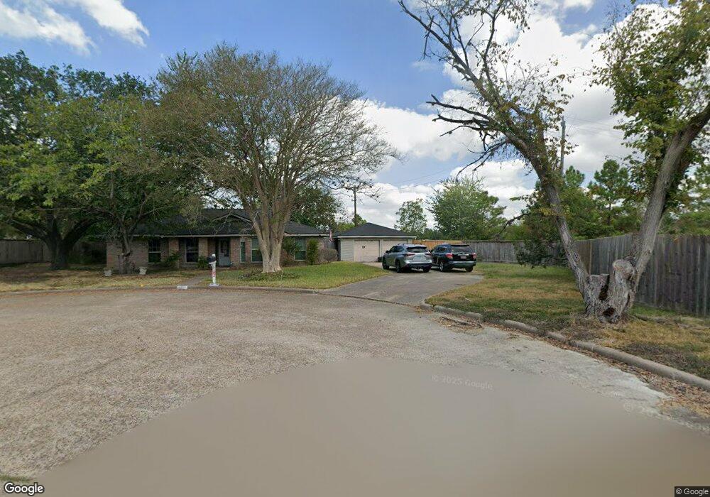
6911 Vinewood Cir Houston, TX 77088
Greater Inwood NeighborhoodEstimated Value: $233,507 - $324,000
4
Beds
3
Baths
1,930
Sq Ft
$139/Sq Ft
Est. Value
About This Home
This home is located at 6911 Vinewood Cir, Houston, TX 77088 and is currently estimated at $268,127, approximately $138 per square foot. 6911 Vinewood Cir is a home located in Harris County with nearby schools including Edward a Vines EC/Pre-K/K School, J. Ruth Smith Elementary, and Hoffman Middle School.
Ownership History
Date
Name
Owned For
Owner Type
Purchase Details
Closed on
Jul 8, 1996
Sold by
Np Funding I Lp
Bought by
Obryant Vevlyn J
Current Estimated Value
Home Financials for this Owner
Home Financials are based on the most recent Mortgage that was taken out on this home.
Original Mortgage
$67,900
Outstanding Balance
$4,826
Interest Rate
8.05%
Estimated Equity
$263,301
Purchase Details
Closed on
Dec 5, 1995
Sold by
Bracher Victor C
Bought by
Np Funding I Lp
Create a Home Valuation Report for This Property
The Home Valuation Report is an in-depth analysis detailing your home's value as well as a comparison with similar homes in the area
Home Values in the Area
Average Home Value in this Area
Purchase History
| Date | Buyer | Sale Price | Title Company |
|---|---|---|---|
| Obryant Vevlyn J | -- | American Title Co | |
| Np Funding I Lp | $57,927 | -- |
Source: Public Records
Mortgage History
| Date | Status | Borrower | Loan Amount |
|---|---|---|---|
| Open | Obryant Vevlyn J | $67,900 |
Source: Public Records
Tax History Compared to Growth
Tax History
| Year | Tax Paid | Tax Assessment Tax Assessment Total Assessment is a certain percentage of the fair market value that is determined by local assessors to be the total taxable value of land and additions on the property. | Land | Improvement |
|---|---|---|---|---|
| 2025 | $97 | $234,389 | $39,416 | $194,973 |
| 2024 | $97 | $234,389 | $39,416 | $194,973 |
| 2023 | $97 | $234,389 | $39,416 | $194,973 |
| 2022 | $3,489 | $193,739 | $23,866 | $169,873 |
| 2021 | $3,322 | $182,610 | $15,188 | $167,422 |
| 2020 | $3,173 | $145,467 | $15,188 | $130,279 |
| 2019 | $3,024 | $139,925 | $15,188 | $124,737 |
| 2018 | $1,068 | $99,350 | $15,188 | $84,162 |
| 2017 | $2,902 | $109,391 | $15,188 | $94,203 |
| 2016 | $2,830 | $109,391 | $15,188 | $94,203 |
| 2015 | $1,924 | $109,391 | $15,188 | $94,203 |
| 2014 | $1,924 | $88,162 | $15,188 | $72,974 |
Source: Public Records
Map
Nearby Homes
- 6918 Bent Branch Dr
- 6202 Wagonwheel Cir
- 6931 Wagonwheel Ln
- 7606 Victory Dr
- 6338 Maple Hill Dr
- 5907 Darkwood Dr
- 7146 Bayou Forest Dr
- 7211 Deep Forest Dr
- 6310 Silver Chalice Dr
- 5906 Lawn Ln
- 5914 Lawn Ln
- 7218 Jadewood Dr Unit 770
- 6311 Fairwood Dr
- 7219 Ridge Oak Dr
- 7526 Antoine Dr
- 6407 Deirdre Anne Dr
- 7402 Alabonson Rd Unit 506
- 7402 Alabonson Rd Unit 309
- 7402 Alabonson Rd Unit 510
- 7402 Alabonson Rd Unit 108
- 0 Vinewood Unit 351345
- 6907 Vinewood Cir
- 0 Vinewood CI Cir
- 7002 Bent Branch Dr
- 6907 Bent Branch Dr
- 6911 Bent Branch Dr
- 6111 Vinewood Dr
- 6115 Vinewood Dr
- 6915 Bent Branch Dr
- 6107 Vinewood Dr
- 6991 Alabonson Rd
- 0 Alabonson Unit 58805327
- 6903 Bent Branch Dr
- 7006 Bent Branch Dr
- 6119 Vinewood Dr
- 6919 Bent Branch Dr
- 6123 Vinewood Dr
- 6918 Wagonwheel Ln
- 7010 Bent Branch Dr
- 6127 Vinewood Dr