Estimated Value: $101,000 - $342,000
3
Beds
2
Baths
1,872
Sq Ft
$106/Sq Ft
Est. Value
About This Home
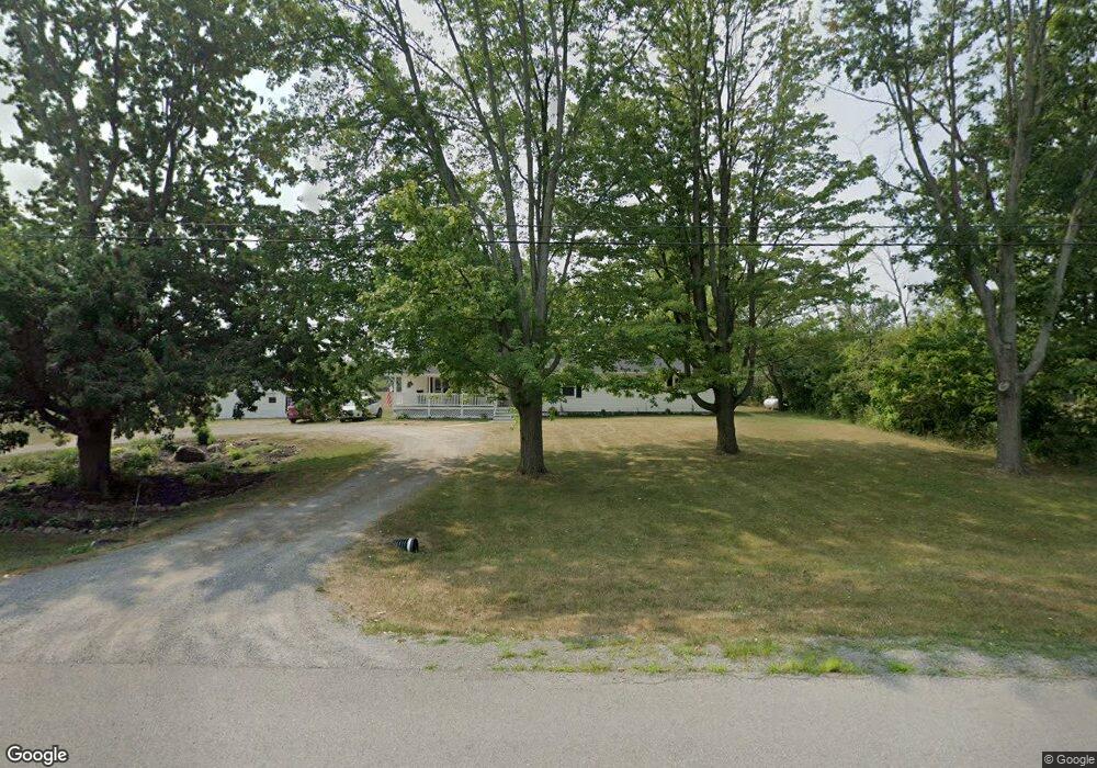
This home is located at 6912 Lyman Rd, Byron, NY 14422 and is currently estimated at $198,970, approximately $106 per square foot. 6912 Lyman Rd is a home located in Genesee County with nearby schools including Byron-Bergen Elementary School and Byron-Bergen Junior/Senior High School.
Ownership History
Date
Name
Owned For
Owner Type
Purchase Details
Closed on
Jun 28, 2019
Sold by
Rosten Paul A and Pope Patricia
Bought by
Gale Cortney and Gale Caroline
Current Estimated Value
Purchase Details
Closed on
Dec 22, 2011
Sold by
Barber Christopher
Bought by
Rosten Paul
Home Financials for this Owner
Home Financials are based on the most recent Mortgage that was taken out on this home.
Original Mortgage
$178,890
Interest Rate
3.99%
Mortgage Type
Purchase Money Mortgage
Purchase Details
Closed on
Sep 15, 2008
Sold by
Tarbell Jennifer
Bought by
Barber Christopher
Create a Home Valuation Report for This Property
The Home Valuation Report is an in-depth analysis detailing your home's value as well as a comparison with similar homes in the area
Home Values in the Area
Average Home Value in this Area
Purchase History
| Date | Buyer | Sale Price | Title Company |
|---|---|---|---|
| Gale Cortney | $131,000 | -- | |
| Gale Cortney | $131,000 | -- | |
| Rosten Paul | $165,000 | Richard Cole | |
| Barber Christopher | -- | Cohen & Assoc. |
Source: Public Records
Mortgage History
| Date | Status | Borrower | Loan Amount |
|---|---|---|---|
| Previous Owner | Rosten Paul | $178,890 |
Source: Public Records
Tax History
| Year | Tax Paid | Tax Assessment Tax Assessment Total Assessment is a certain percentage of the fair market value that is determined by local assessors to be the total taxable value of land and additions on the property. | Land | Improvement |
|---|---|---|---|---|
| 2024 | $6,060 | $161,000 | $60,100 | $100,900 |
| 2023 | $6,066 | $153,000 | $60,100 | $92,900 |
| 2022 | $6,366 | $150,000 | $60,100 | $89,900 |
| 2021 | $6,575 | $150,000 | $60,100 | $89,900 |
| 2020 | $6,888 | $150,000 | $55,900 | $94,100 |
| 2019 | $6,066 | $160,000 | $55,900 | $104,100 |
| 2018 | $6,066 | $167,200 | $51,600 | $115,600 |
| 2017 | $5,783 | $167,200 | $51,600 | $115,600 |
| 2016 | $5,576 | $165,000 | $46,700 | $118,300 |
| 2015 | -- | $165,000 | $46,700 | $118,300 |
| 2014 | -- | $165,000 | $46,700 | $118,300 |
Source: Public Records
Map
Nearby Homes
- 7505 Route 237
- 6461 Swamp Rd
- 6798 Swamp Rd
- 0 Townline Rd
- 8501 Route 237
- 13 Canterbury Ct
- 17 Mckenzie St
- 10 Clinton St
- 30 Rochester St
- 0 Main Rd Unit R1631097
- 70 Church St
- 38 Munger St
- 6920 Transit Rd
- 50 Rochester St
- 14 North St
- 5888 Bird Rd
- 0 Prole Road Extension
- 80 E Main St
- 5435 Clinton Street Rd
- Lot #12 Westbrook Rd
Your Personal Tour Guide
Ask me questions while you tour the home.