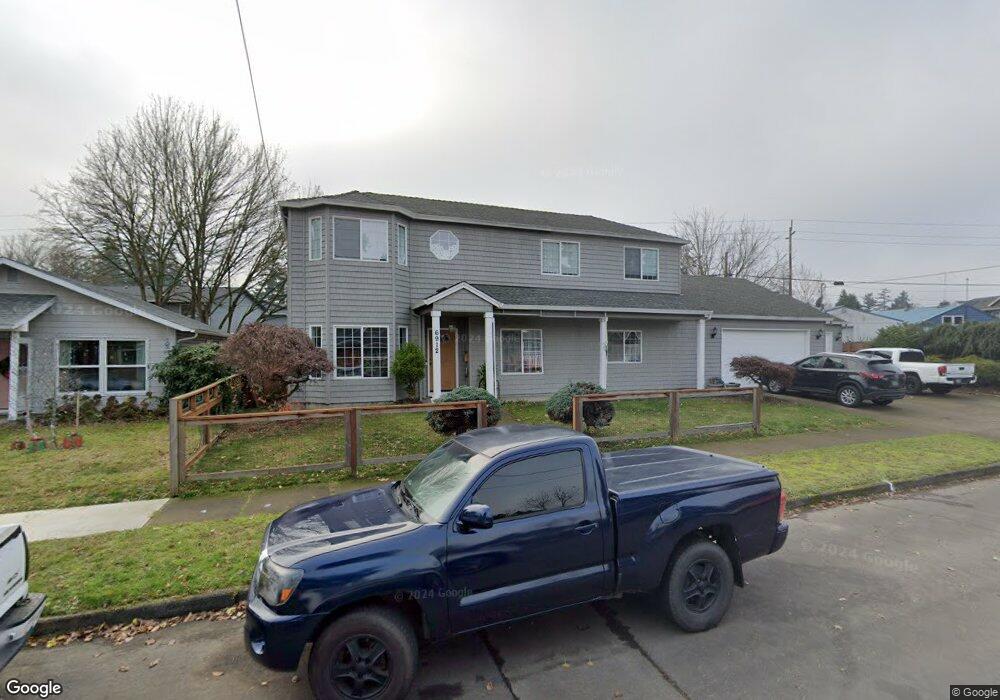
6912 N Powers St Portland, OR 97203
Saint Johns NeighborhoodEstimated Value: $498,000 - $663,000
3
Beds
4
Baths
2,700
Sq Ft
$215/Sq Ft
Est. Value
About This Home
This home is located at 6912 N Powers St, Portland, OR 97203 and is currently estimated at $579,811, approximately $214 per square foot. 6912 N Powers St is a home located in Multnomah County with nearby schools including James John Elementary School, George Middle School, and Roosevelt High School.
Ownership History
Date
Name
Owned For
Owner Type
Purchase Details
Closed on
Oct 1, 2009
Sold by
Banker Charles William
Bought by
Pathammavong Tyler
Current Estimated Value
Purchase Details
Closed on
Feb 24, 2006
Sold by
Banker Charles William
Bought by
Banker Charles William
Home Financials for this Owner
Home Financials are based on the most recent Mortgage that was taken out on this home.
Original Mortgage
$150,000
Interest Rate
6.04%
Mortgage Type
Stand Alone Refi Refinance Of Original Loan
Create a Home Valuation Report for This Property
The Home Valuation Report is an in-depth analysis detailing your home's value as well as a comparison with similar homes in the area
Home Values in the Area
Average Home Value in this Area
Purchase History
| Date | Buyer | Sale Price | Title Company |
|---|---|---|---|
| Pathammavong Tyler | $264,900 | Stewart Title | |
| Banker Charles William | -- | Lawyers Title Ins |
Source: Public Records
Mortgage History
| Date | Status | Borrower | Loan Amount |
|---|---|---|---|
| Previous Owner | Banker Charles William | $150,000 |
Source: Public Records
Tax History Compared to Growth
Tax History
| Year | Tax Paid | Tax Assessment Tax Assessment Total Assessment is a certain percentage of the fair market value that is determined by local assessors to be the total taxable value of land and additions on the property. | Land | Improvement |
|---|---|---|---|---|
| 2025 | $9,910 | $367,780 | -- | -- |
| 2024 | $9,554 | $357,070 | -- | -- |
| 2023 | $9,186 | $346,670 | $0 | $0 |
| 2022 | $8,987 | $336,580 | $0 | $0 |
| 2021 | $8,835 | $326,780 | $0 | $0 |
| 2020 | $8,105 | $317,270 | $0 | $0 |
| 2019 | $7,807 | $308,030 | $0 | $0 |
| 2018 | $7,578 | $299,060 | $0 | $0 |
| 2017 | $7,263 | $290,350 | $0 | $0 |
| 2016 | $6,647 | $281,900 | $0 | $0 |
| 2015 | $6,375 | $273,690 | $0 | $0 |
| 2014 | $5,558 | $265,720 | $0 | $0 |
Source: Public Records
Map
Nearby Homes
- 6689 N Columbia Way
- 7045 N Mears St
- 6640 N Columbia Blvd
- 6621 N Columbia Way Unit 4
- 9406 N Midway Ave Unit 9410
- 6677 N Fessenden St Unit 15
- 6669 N Fessenden St Unit 25
- 6649 N Fessenden St Unit 11
- 6631 N Fessenden St Unit 6
- 6905 N Bank St
- 6921 N Bank St
- 6909 N Bank St
- 6913 N Bank St
- 6244 N Columbia Way
- 6815 N Smith St
- 10227 N MacRum Ave
- 10035 N Calhoun Ave
- 6939 N Armour St
- 6867 N Hudson St
- 9449 N Geneva Ave
- 6912 N Powers St
- 6846 N Powers St
- 6834 N Powers St
- 6867 N Fessenden St
- 6851 N Fessenden St
- 6839 N Fessenden St Unit 6849
- 6903 N Powers St
- 6828 N Powers St
- 6845 N Powers St
- 6903 N Fessenden St
- 6911 N Powers St
- 6835 N Powers St
- 6925 N Powers St
- 6835 N Fessenden St
- 6827 N Powers St
- 9717 N Oregonian Ave
- 9715 N Oregonian Ave
- 9707 N Oregonian Ave
- 6823 N Powers St
- 6944 N Powers St