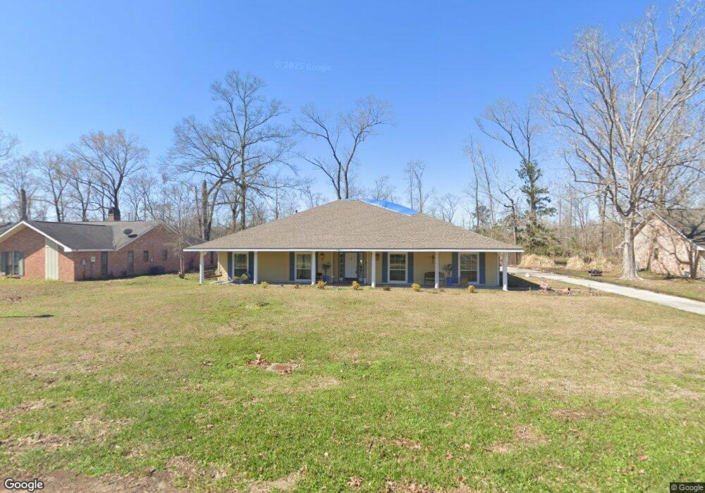
6913 Langston Ct Baton Rouge, LA 70818
Estimated Value: $339,000 - $358,723
4
Beds
3
Baths
2,919
Sq Ft
$120/Sq Ft
Est. Value
About This Home
This home is located at 6913 Langston Ct, Baton Rouge, LA 70818 and is currently estimated at $350,681, approximately $120 per square foot. 6913 Langston Ct is a home located in East Baton Rouge Parish with nearby schools including Bellingrath Hills Elementary School, Tanglewood Elementary School, and Central Intermediate School.
Ownership History
Date
Name
Owned For
Owner Type
Purchase Details
Closed on
Oct 23, 1998
Sold by
Behnke Fortner Fortner Donald Dwayne
Bought by
Vrenick Thomas Andrew and Vrenick Terrell Truxillo
Current Estimated Value
Home Financials for this Owner
Home Financials are based on the most recent Mortgage that was taken out on this home.
Original Mortgage
$139,650
Outstanding Balance
$30,127
Interest Rate
6.73%
Mortgage Type
Purchase Money Mortgage
Estimated Equity
$320,554
Create a Home Valuation Report for This Property
The Home Valuation Report is an in-depth analysis detailing your home's value as well as a comparison with similar homes in the area
Home Values in the Area
Average Home Value in this Area
Purchase History
| Date | Buyer | Sale Price | Title Company |
|---|---|---|---|
| Vrenick Thomas Andrew | $147,000 | -- |
Source: Public Records
Mortgage History
| Date | Status | Borrower | Loan Amount |
|---|---|---|---|
| Open | Vrenick Thomas Andrew | $139,650 |
Source: Public Records
Tax History Compared to Growth
Tax History
| Year | Tax Paid | Tax Assessment Tax Assessment Total Assessment is a certain percentage of the fair market value that is determined by local assessors to be the total taxable value of land and additions on the property. | Land | Improvement |
|---|---|---|---|---|
| 2024 | $3,270 | $33,050 | $2,500 | $30,550 |
| 2023 | $3,270 | $28,550 | $2,500 | $26,050 |
| 2022 | $3,802 | $28,550 | $2,500 | $26,050 |
| 2021 | $3,802 | $28,550 | $2,500 | $26,050 |
| 2020 | $3,731 | $28,550 | $2,500 | $26,050 |
| 2019 | $3,308 | $24,550 | $2,500 | $22,050 |
| 2018 | $3,271 | $24,550 | $2,500 | $22,050 |
| 2017 | $3,271 | $24,550 | $2,500 | $22,050 |
| 2016 | $2,231 | $24,550 | $2,500 | $22,050 |
| 2015 | $1,817 | $21,050 | $2,500 | $18,550 |
| 2014 | $1,754 | $21,050 | $2,500 | $18,550 |
| 2013 | -- | $21,050 | $2,500 | $18,550 |
Source: Public Records
Map
Nearby Homes
- 10911 Suncrest Ave
- 7127 Burtcliff Dr
- 11131 Tynewood Ave
- 11111 Tynewood Ave
- 6423 Lawnridge Dr
- 6720 Stoneshire Dr
- 12533 Pecos Ave
- 7221 Frontier Dr
- TBD Joor Rd
- 6242 Joor Rd
- 6156 Joor Rd
- 8547 Shady Knoll Place
- 10757 Lovett Rd
- Lot 65 Odessa Dr
- 12024 Lovett Rd
- 7730 Prairie Dr
- Lot 80 Dianna Dr
- Lot 81 Dianna Dr
- 13132 Elissa Ln
- 13152 Elissa Ln
- 6903 Langston Ct
- 10385 Langston Ct
- 0 Langston Ct
- 6923 Langston Ct
- 6912 Langston Ct
- 6922 Langston Ct
- 10812 Landfair Ave
- 10832 Landfair Ave
- 10904 Landfair Ave
- 6935 Lake Comite Dr
- 6933 Langston Ct
- 10924 Landfair Ave
- 6905 Lake Comite Dr
- 6955 Lake Comite Dr
- 7009 Lake Comite Dr
- 10944 Landfair Ave
- 7039 Lake Comite Dr
- 10921 Suncrest Ave
- 10931 Suncrest Ave
- 10964 Landfair Ave