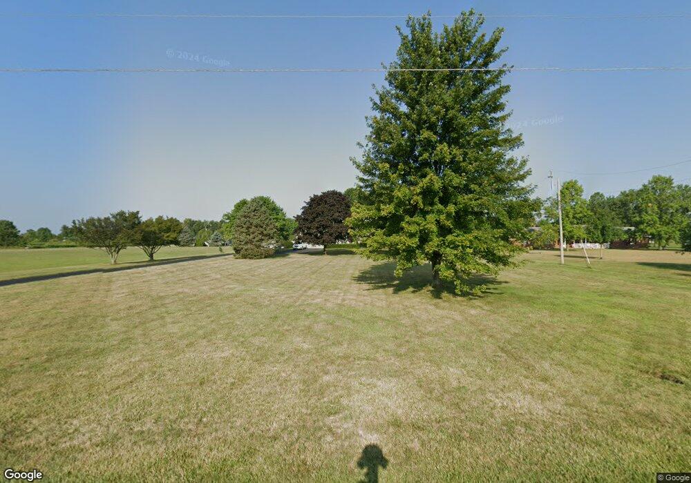
6913 Ridpath Rd Grove City, OH 43123
Estimated Value: $605,921 - $700,000
4
Beds
4
Baths
3,377
Sq Ft
$190/Sq Ft
Est. Value
About This Home
This home is located at 6913 Ridpath Rd, Grove City, OH 43123 and is currently estimated at $641,480, approximately $189 per square foot. 6913 Ridpath Rd is a home located in Franklin County with nearby schools including Hayes Intermediate School, Darbydale Elementary School, and Jackson Middle School.
Ownership History
Date
Name
Owned For
Owner Type
Purchase Details
Closed on
Dec 28, 2005
Sold by
Meredith Claud L and Meredith Pamela S
Bought by
Mayes Bob E and Mayes Jeri
Current Estimated Value
Purchase Details
Closed on
Apr 30, 1996
Sold by
Parfitt Robert D
Bought by
Meredith Claud L and Meredith Pamela S
Home Financials for this Owner
Home Financials are based on the most recent Mortgage that was taken out on this home.
Original Mortgage
$124,500
Outstanding Balance
$5,311
Interest Rate
7.91%
Mortgage Type
New Conventional
Estimated Equity
$636,169
Purchase Details
Closed on
Jan 1, 1986
Create a Home Valuation Report for This Property
The Home Valuation Report is an in-depth analysis detailing your home's value as well as a comparison with similar homes in the area
Home Values in the Area
Average Home Value in this Area
Purchase History
| Date | Buyer | Sale Price | Title Company |
|---|---|---|---|
| Mayes Bob E | $315,000 | Chicago | |
| Meredith Claud L | $194,500 | -- | |
| -- | $16,000 | -- |
Source: Public Records
Mortgage History
| Date | Status | Borrower | Loan Amount |
|---|---|---|---|
| Open | Meredith Claud L | $124,500 |
Source: Public Records
Tax History Compared to Growth
Tax History
| Year | Tax Paid | Tax Assessment Tax Assessment Total Assessment is a certain percentage of the fair market value that is determined by local assessors to be the total taxable value of land and additions on the property. | Land | Improvement |
|---|---|---|---|---|
| 2024 | $7,565 | $177,380 | $54,390 | $122,990 |
| 2023 | $7,450 | $177,380 | $54,390 | $122,990 |
| 2022 | $8,294 | $142,350 | $41,970 | $100,380 |
| 2021 | $8,463 | $142,350 | $41,970 | $100,380 |
| 2020 | $8,435 | $142,350 | $41,970 | $100,380 |
| 2019 | $7,611 | $118,660 | $34,970 | $83,690 |
| 2018 | $7,487 | $118,660 | $34,970 | $83,690 |
| 2017 | $7,554 | $118,660 | $34,970 | $83,690 |
| 2016 | $7,390 | $105,810 | $23,000 | $82,810 |
| 2015 | $7,392 | $105,810 | $23,000 | $82,810 |
| 2014 | $7,398 | $105,810 | $23,000 | $82,810 |
| 2013 | $3,483 | $105,805 | $22,995 | $82,810 |
Source: Public Records
Map
Nearby Homes
- 9148 Matville Rd
- 6210 Seeds Rd
- 2609 Landings Way Unit 29-D
- 0 Burgett Rd
- 2460 Buckeye Grove Blvd
- 1800 Lynnbrook Ct
- 1933 London Groveport Rd
- 5941 Landings Pond Place
- 5933 Landings Pond Place Unit 21
- 6338 Beaver Lake Dr
- 1717 London Groveport Rd
- 1700 Harvey Ln Unit Lot 5
- 0 Lane Rd Unit 225004404
- 1490 Hiner Rd
- 2019 Parade of Homes | Evans Farm Central Plan at Plum Run Crossing
- Carroll Residence Plan at Plum Run Crossing
- Ferryman Residence Plan at Plum Run Crossing
- 2019 Parade of Homes | Evans Farm Plan at Plum Run Crossing
- Bennett Plan at Plum Run Crossing
- Scarlett Custom Plan A at Plum Run Crossing
- 6891 Ridpath Rd
- 6931 Ridpath Rd
- 6969 Ridpath Rd
- 6863 Ridpath Rd
- 6858 Ridpath Rd
- 6858 Ridpath Rd
- 6835 Ridpath Rd
- 6993 Ridpath Rd
- 6836 Ridpath Rd
- 7013 Ridpath Rd
- 6826 Ridpath Rd
- 6805 Ridpath Rd
- 6986 Ridpath Rd
- 7003 Ridpath Rd
- 6794 Ridpath Rd
- 9148 Ridpath Rd
- 7039 Ridpath Rd
- 6957 Ridpath Rd
- 6781 Ridpath Rd
- 6974 Ridpath Rd
