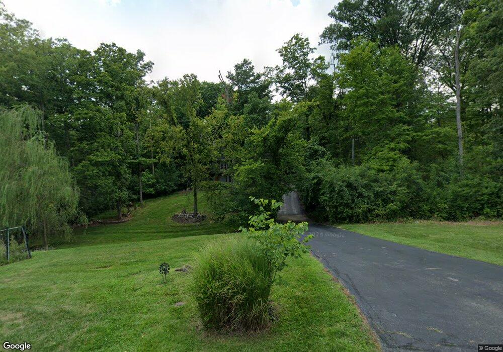
6913 State Route 48 Loveland, OH 45140
Outer Loveland NeighborhoodEstimated Value: $393,000 - $470,000
4
Beds
4
Baths
2,876
Sq Ft
$154/Sq Ft
Est. Value
About This Home
This home is located at 6913 State Route 48, Loveland, OH 45140 and is currently estimated at $441,486, approximately $153 per square foot. 6913 State Route 48 is a home located in Clermont County with nearby schools including Loveland Primary School, Loveland Elementary School, and Loveland Intermediate School.
Ownership History
Date
Name
Owned For
Owner Type
Purchase Details
Closed on
Apr 13, 2010
Sold by
Deutsche Bank National Trust Company
Bought by
Bullock Sharon Y
Current Estimated Value
Home Financials for this Owner
Home Financials are based on the most recent Mortgage that was taken out on this home.
Original Mortgage
$163,483
Interest Rate
5.14%
Mortgage Type
FHA
Purchase Details
Closed on
Nov 6, 2009
Sold by
Chung Tae R
Bought by
Deutsche Bank National Trust Company
Purchase Details
Closed on
Dec 16, 2004
Sold by
Gude Alfredo A and Gude Brenda M
Bought by
Chung Tae R and Chung Michele L
Home Financials for this Owner
Home Financials are based on the most recent Mortgage that was taken out on this home.
Original Mortgage
$218,160
Interest Rate
6%
Mortgage Type
Purchase Money Mortgage
Create a Home Valuation Report for This Property
The Home Valuation Report is an in-depth analysis detailing your home's value as well as a comparison with similar homes in the area
Home Values in the Area
Average Home Value in this Area
Purchase History
| Date | Buyer | Sale Price | Title Company |
|---|---|---|---|
| Bullock Sharon Y | $165,500 | American Homeland Title Agen | |
| Deutsche Bank National Trust Company | $133,333 | None Available | |
| Chung Tae R | $272,700 | Prodigy Title Agency |
Source: Public Records
Mortgage History
| Date | Status | Borrower | Loan Amount |
|---|---|---|---|
| Previous Owner | Bullock Sharon Y | $163,483 | |
| Previous Owner | Chung Tae R | $218,160 | |
| Closed | Chung Tae R | $54,540 |
Source: Public Records
Tax History Compared to Growth
Tax History
| Year | Tax Paid | Tax Assessment Tax Assessment Total Assessment is a certain percentage of the fair market value that is determined by local assessors to be the total taxable value of land and additions on the property. | Land | Improvement |
|---|---|---|---|---|
| 2024 | $4,734 | $94,850 | $20,300 | $74,550 |
| 2023 | $4,821 | $94,850 | $20,300 | $74,550 |
| 2022 | $4,165 | $68,740 | $14,700 | $54,040 |
| 2021 | $4,263 | $70,210 | $16,170 | $54,040 |
| 2020 | $4,276 | $70,210 | $16,170 | $54,040 |
| 2019 | $4,978 | $77,350 | $12,320 | $65,030 |
| 2018 | $5,006 | $77,350 | $12,320 | $65,030 |
| 2017 | $4,863 | $77,350 | $12,320 | $65,030 |
| 2016 | $4,863 | $70,320 | $11,200 | $59,120 |
| 2015 | $4,668 | $70,320 | $11,200 | $59,120 |
| 2014 | $4,668 | $70,320 | $11,200 | $59,120 |
| 2013 | $4,629 | $73,710 | $15,610 | $58,100 |
Source: Public Records
Map
Nearby Homes
- 6646 Gentlewind Ct
- 6881 Paxton Rd
- 6661 Gentlewind Ct
- 6875 Stonehedge Cir
- 6853 Obannon Bluff
- 6874 Clubside Dr
- 100 Colonial Dr
- 9197 Lawnview Ct
- 1209 Red Roan Dr
- 6690 Morgans Run
- 101 Founders Dr
- 1277 Sand Trap Ct
- 6805 N Clarawill Dr
- Lot 1009 Zoar Rd
- 3269 Charles Snider
- 927 Blue Heron Ln
- 3265 Charles Snider
- 20 Trailside Estates
- 8 Trailside Estates
- Lot Stone Pillars Ct
- 6913 Oakland Rd
- 6917 State Route 48
- 6917 Oakland Rd
- 6917 State Route 48
- 6968 Paxton Rd
- 6960 Paxton Rd
- 6917 Ohio 48
- 6956 Paxton Rd
- 6903 Oakland Rd
- 6948 Paxton Rd
- 6950 Paxton Rd
- 6929 Paxton Rd
- 6901 Oakland Rd
- 6927 Paxton Rd
- 6921 Paxton Rd
- 6938 Paxton Rd
- 6885 Oakland Rd
- 6936 Paxton Rd
- 6915 Paxton Rd
- 1760 Millbrook Ln