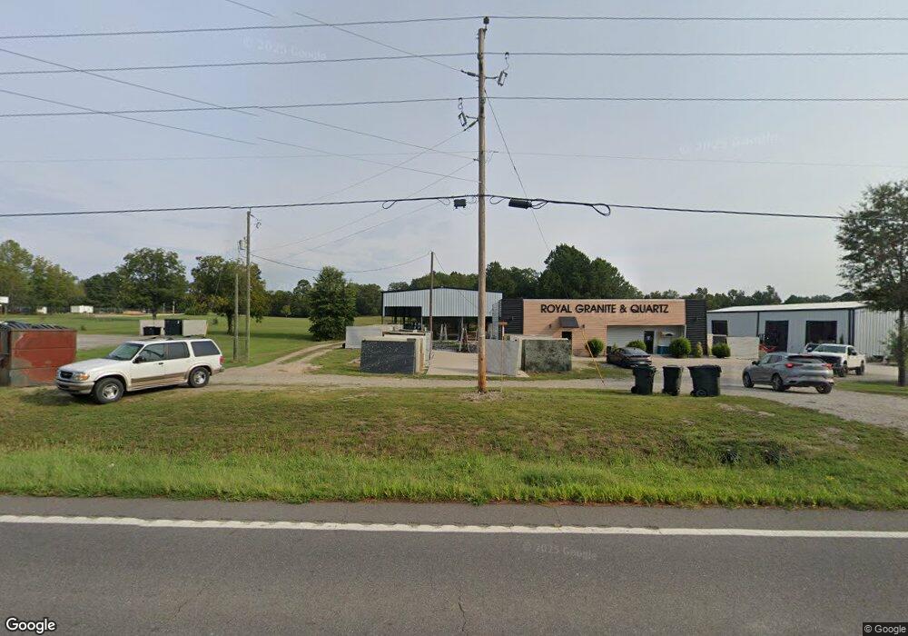
Estimated Value: $617,000 - $686,000
Studio
--
Bath
3,380
Sq Ft
$193/Sq Ft
Est. Value
About This Home
This home is located at 6914 Albert Pike Rd, Royal, AR 71968 and is currently estimated at $651,500, approximately $192 per square foot. 6914 Albert Pike Rd is a home with nearby schools including Lake Hamilton Primary School, Lake Hamilton Interm. School, and Lake Hamilton Elementary School.
Ownership History
Date
Name
Owned For
Owner Type
Purchase Details
Closed on
Sep 14, 2010
Sold by
Barton B Randy and Barton Sharon
Bought by
Percefull Christopher
Current Estimated Value
Purchase Details
Closed on
Dec 18, 2003
Sold by
Not Provided
Bought by
Barton B Randy
Purchase Details
Closed on
Oct 22, 2003
Sold by
Not Provided
Bought by
Nelson Linda E
Create a Home Valuation Report for This Property
The Home Valuation Report is an in-depth analysis detailing your home's value as well as a comparison with similar homes in the area
Purchase History
| Date | Buyer | Sale Price | Title Company |
|---|---|---|---|
| Percefull Christopher | $64,000 | Garland Country Title Co | |
| Barton B Randy | $79,000 | -- | |
| Nelson Linda E | -- | -- |
Source: Public Records
Mortgage History
| Date | Status | Borrower | Loan Amount |
|---|---|---|---|
| Closed | Percefull Christopher | $0 |
Source: Public Records
Tax History
| Year | Tax Paid | Tax Assessment Tax Assessment Total Assessment is a certain percentage of the fair market value that is determined by local assessors to be the total taxable value of land and additions on the property. | Land | Improvement |
|---|---|---|---|---|
| 2025 | $5,193 | $130,470 | $11,630 | $118,840 |
| 2024 | $5,107 | $130,470 | $11,630 | $118,840 |
| 2023 | $5,001 | $130,470 | $11,630 | $118,840 |
| 2022 | $5,275 | $130,470 | $11,630 | $118,840 |
| 2021 | $4,897 | $106,460 | $11,630 | $94,830 |
| 2020 | $3,782 | $89,720 | $11,630 | $78,090 |
| 2019 | $3,591 | $89,720 | $11,630 | $78,090 |
| 2018 | $2,114 | $55,750 | $4,280 | $51,470 |
| 2017 | $2,113 | $55,750 | $4,280 | $51,470 |
| 2016 | $1,978 | $52,660 | $5,400 | $47,260 |
| 2015 | $1,978 | $52,660 | $5,400 | $47,260 |
| 2014 | $1,693 | $46,230 | $5,400 | $40,830 |
Source: Public Records
Map
Nearby Homes
- 105 Edna Dr
- 259 Kingery Ln
- 126 W Hawkview Place
- 408 TBD Ballard Rd
- 256 Forest Ridge Rd
- 256 Forestridge Rd
- 200 Natural Place
- 000 Cavanaugh Rd
- 322 Forestcreek Rd
- 000 Owl Creek Cutoff
- 000 Owl Creek Cutoff Unit Cutoff
- 905 Sunshine Rd
- 1646 Brady Mountain Rd
- 5600 Albert Pike Rd Unit 16
- 5600 Albert Pike Rd
- 529 Owl Creek Rd
- 3249 Timberlake
- TBD Albert Pike
- 329 Woodview Ln
- 600 Timberlake Dr
- 000 Highway 270
- 182 Cranberry Trail
- 000 Joneal Rd
- 0000 Hwy 270 Hwy
- 127 Gillham Rd
- 6802 Albert Pike Rd
- 116 Joneal Rd
- 130 Rice Ln
- 6801 Albert Pike Rd
- 137 Joneal Rd
- 147 Joneal Rd
- 140 Joneal Rd
- 215 Cranberry Trail
- 151 Cranberry Trail
- 178 Rice Ln
- 158 Gillham Rd
- 191 Joneal Rd
- 6749 Albert Pike Rd
- 265 Gillham Rd
- 7036 Albert Pike Rd
