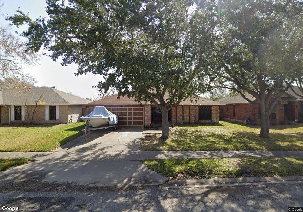
6914 Dundee Dr Corpus Christi, TX 78413
Southside NeighborhoodEstimated Value: $242,721 - $255,000
--
Bed
--
Bath
1,529
Sq Ft
$164/Sq Ft
Est. Value
About This Home
This home is located at 6914 Dundee Dr, Corpus Christi, TX 78413 and is currently estimated at $251,430, approximately $164 per square foot. 6914 Dundee Dr is a home located in Nueces County with nearby schools including Club Estates Elementary School, Grant Middle School, and Carroll High School.
Ownership History
Date
Name
Owned For
Owner Type
Purchase Details
Closed on
Feb 23, 2007
Sold by
Mcdaniel Terry Lee and Mcdaniel Elizabeth
Bought by
Rodriguez Arnold and Adams Latoya
Current Estimated Value
Home Financials for this Owner
Home Financials are based on the most recent Mortgage that was taken out on this home.
Original Mortgage
$129,869
Outstanding Balance
$78,002
Interest Rate
6.21%
Mortgage Type
Purchase Money Mortgage
Estimated Equity
$173,428
Create a Home Valuation Report for This Property
The Home Valuation Report is an in-depth analysis detailing your home's value as well as a comparison with similar homes in the area
Home Values in the Area
Average Home Value in this Area
Purchase History
| Date | Buyer | Sale Price | Title Company |
|---|---|---|---|
| Rodriguez Arnold | -- | Security Title |
Source: Public Records
Mortgage History
| Date | Status | Borrower | Loan Amount |
|---|---|---|---|
| Open | Rodriguez Arnold | $129,869 |
Source: Public Records
Tax History Compared to Growth
Tax History
| Year | Tax Paid | Tax Assessment Tax Assessment Total Assessment is a certain percentage of the fair market value that is determined by local assessors to be the total taxable value of land and additions on the property. | Land | Improvement |
|---|---|---|---|---|
| 2025 | $3,513 | $248,689 | -- | -- |
| 2024 | $4,916 | $226,081 | $0 | $0 |
| 2023 | $3,142 | $205,528 | $0 | $0 |
| 2022 | $4,649 | $186,844 | $20,079 | $166,765 |
| 2021 | $4,665 | $178,432 | $20,079 | $158,353 |
| 2020 | $4,415 | $168,442 | $20,079 | $148,363 |
| 2019 | $4,115 | $155,628 | $20,079 | $135,549 |
| 2018 | $3,888 | $153,532 | $20,079 | $133,453 |
| 2017 | $3,918 | $155,199 | $20,079 | $135,120 |
| 2016 | $3,896 | $156,978 | $20,079 | $136,899 |
| 2015 | $2,851 | $150,694 | $20,079 | $130,615 |
| 2014 | $2,851 | $127,547 | $20,079 | $107,468 |
Source: Public Records
Map
Nearby Homes
- 5226 Mill Wood Dr
- 7002 Sun Wood Dr
- 5237 Tartan Dr
- 6829 Iroquois Dr
- 5213 Inverness Dr
- 4957 Shadowbend Dr
- 7029 Sun Wood Dr
- 4929 Valley Stream Dr
- 4925 Valley Stream Dr
- 4937 Chatfield Dr
- 6710 Deerwood Dr
- 5337 Inverness Dr
- 5301 Pheasant Cir Unit 1
- 6714 Northgate Dr
- 5117 Kings Ct
- 6709 Oakgate Dr
- 6726 Hunt Dr
- 6602 Hunt Dr
- 4017 Ranch Lake Dr
- 4009 Ranch Lake Dr